
Grid-based rain-fed annual global groundwater recharge
收藏doi.pangaea.de2025-03-24 收录
下载链接:
https://doi.pangaea.de/10.1594/PANGAEA.957447
下载链接
链接失效反馈官方服务:
资源简介:
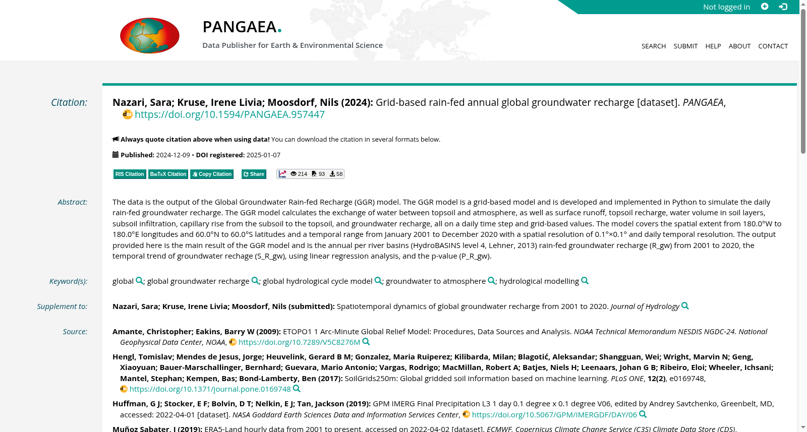
The data is the output of the Global Groundwater Rain-fed Recharge (GGR) model. The GGR model is a grid-based model and is developed and implemented in Python to simulate the daily rain-fed groundwater recharge. The GGR model calculates the exchange of water between topsoil and atmosphere, as well as surface runoff, topsoil recharge, water volume in soil layers, subsoil infiltration, capillary rise from the subsoil to the topsoil, and groundwater recharge, all on a daily time step and grid-based values. The model covers the spatial extent from 180.0°W to 180.0°E longitudes and 60.0°N to 60.0°S latitudes and a temporal range from January 2001 to December 2020 with a spatial resolution of 0.1°×0.1° and daily temporal resolution. […]
本数据集为全球地表水雨水补给(GGR)模型的输出。GGR模型系基于网格构建,采用Python语言进行开发与实现,旨在模拟日降水量对地下水的补给过程。该模型计算了表层土壤与大气之间的水分交换,以及地表径流、表层土壤补给、土壤层水分含量、底土渗透、底土水分向表层土壤的毛细上升,以及地下水补给等参数,均以每日时间步长和网格值为基础进行计算。模型覆盖了经度180.0°W至180.0°E以及纬度60.0°N至60.0°S的全球范围,时间跨度为2001年1月至2020年12月,空间分辨率为0.1°×0.1°,时间分辨率为每日。
提供机构:
doi.pangaea.de
搜集汇总
数据集介绍
背景与挑战
背景概述
该数据集是基于全球地下水雨补(GGR)模型生成的网格化全球地下水补给数据,覆盖2001年至2020年,空间分辨率为0.1°×0.1°,范围从180°W到180°E和60°N到60°S。数据内容包括按河流盆地(HydroBASINS第4级)划分的年度雨补地下水补给量、通过线性回归分析得出的补给趋势以及相应的p值,用于分析全球地下水补给的时空动态变化。
以上内容由遇见数据集搜集并总结生成



