长江中游城市群规划成果专题数据集(2017年)
收藏国家地球系统科学数据中心2023-12-07 更新2024-04-21 收录
下载链接:
https://www.geodata.cn/data/datadetails.html?dataguid=137856118660088&docId=4256
下载链接
链接失效反馈官方服务:
资源简介:
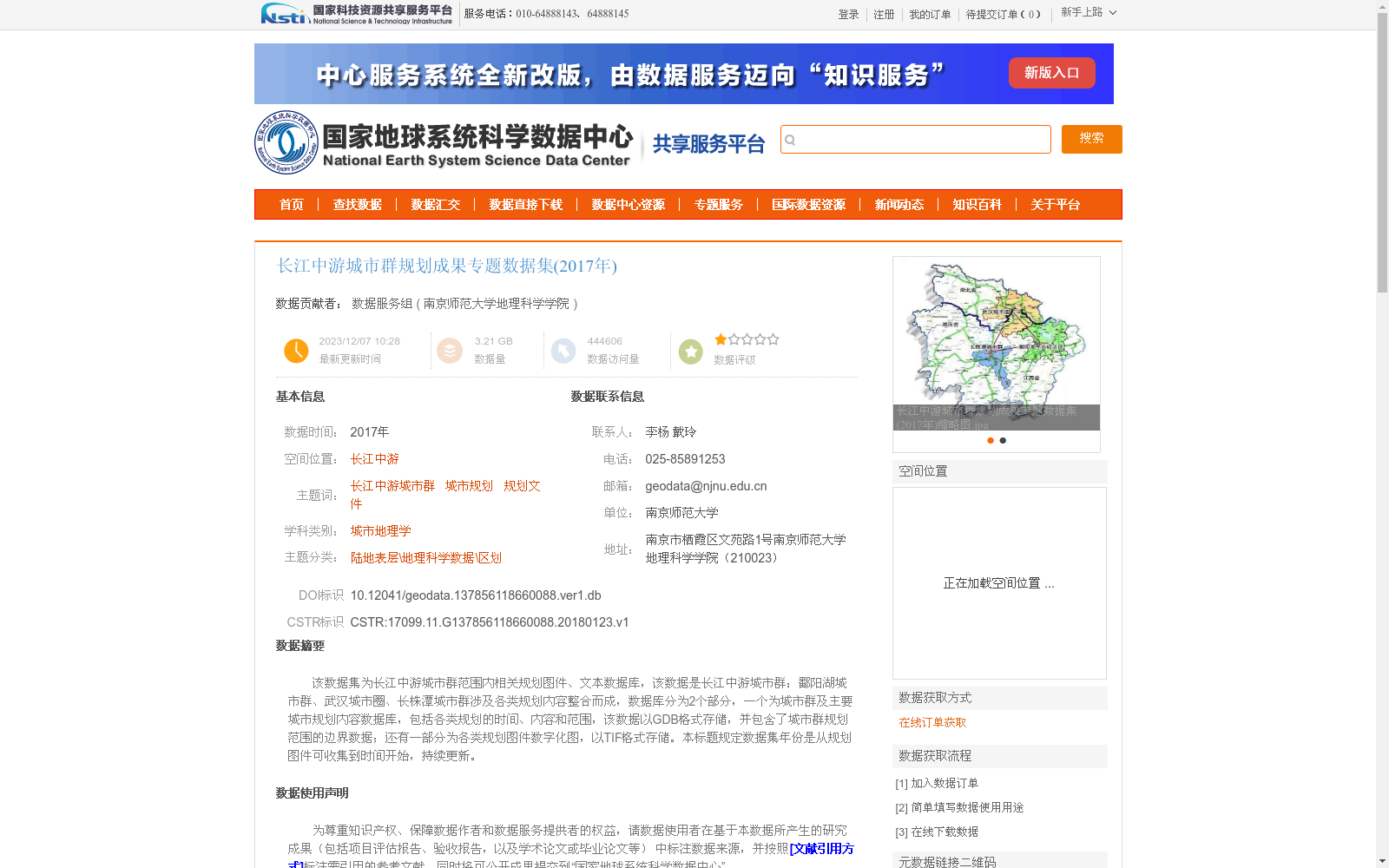
该数据集为长江中游城市群范围内相关规划图件、文本数据库,该数据是长江中游城市群:鄱阳湖城市群、武汉城市圈、长株潭城市群涉及各类规划内容整合而成,数据库分为2个部分,一个为城市群及主要城市规划内容数据库,包括各类规划的时间、内容和范围,该数据以GDB格式存储,并包含了城市群规划范围的边界数据;还有一部分为各类规划图件数字化图,以TIF格式存储。本标题规定数据集年份是从规划图件可收集到时间开始,持续更新。
This dataset is a comprehensive database integrating planning documents and map materials within the scope of the urban agglomeration in the middle reaches of the Yangtze River. It is compiled by consolidating various planning contents from three sub-urban agglomerations under the middle reaches of the Yangtze River urban agglomeration: Poyang Lake Urban Agglomeration, Wuhan Metropolitan Area, and Changsha-Zhuzhou-Xiangtan Urban Agglomeration. The database is split into two components: The first component is the planning content database for the entire urban agglomeration and its major cities, which documents the timeline, specific contents and coverage scope of all types of plans. This component is stored in GDB format and includes the boundary data of the urban agglomeration's planning scope. The second component consists of digitized maps of various planning documents, which are stored in TIF format. The dataset's time range starts from the earliest year when planning maps were collectible, and it is continuously updated as specified in the dataset's title.
提供机构:
南京师范大学地理科学学院
创建时间:
2018-01-23
搜集汇总
数据集介绍
背景与挑战
背景概述
该数据集整合了2017年长江中游城市群(包括鄱阳湖城市群、武汉城市圈、长株潭城市群)的规划图件和文本数据,以GDB和TIF格式存储,涵盖城市规划内容数据库和数字化规划图件,适用于城市地理学和区域规划研究。
以上内容由遇见数据集搜集并总结生成


