拉萨河流域设施农地分布区土壤环境数据集(2018)
收藏国家青藏高原科学数据中心2025-02-13 更新2025-04-26 收录
下载链接:
https://data.tpdc.ac.cn/zh-hans/data/3f0a4d34-4076-4277-abb6-fac1c6f417cf
下载链接
链接失效反馈官方服务:
资源简介:
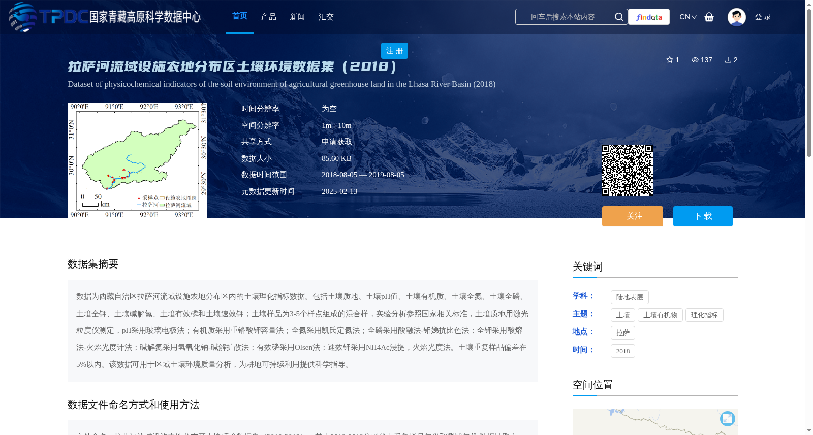
数据为西藏自治区拉萨河流域设施农地分布区内的土壤理化指标数据。包括土壤质地、土壤pH值、土壤有机质、土壤全氮、土壤全磷、土壤全钾、土壤碱解氮、土壤有效磷和土壤速效钾;土壤样品为3-5个样点组成的混合样,实验分析参照国家相关标准,土壤质地用激光粒度仪测定,pH采用玻璃电极法;有机质采用重铬酸钾容量法;全氮采用凯氏定氮法;全磷采用酸融法-钼娣抗比色法;全钾采用酸熔法-火焰光度计法;碱解氮采用氢氧化钠-碱解扩散法;有效磷采用Olsen法;速效钾采用NH4Ac浸提,火焰光度法。土壤重复样品偏差在5%以内。该数据可用于区域土壤环境质量分析,为耕地可持续利用提供科学指导。
This dataset contains soil physiochemical index data within the distribution area of protected agricultural land in the Lhasa River Basin, Tibet Autonomous Region. It includes soil texture, soil pH value, soil organic matter, soil total nitrogen, soil total phosphorus, soil total potassium, soil alkaline hydrolyzable nitrogen, soil available phosphorus, and soil available potassium. Soil samples are composite samples composed of 3 to 5 sampling points, and experimental analyses are conducted in accordance with relevant national standards. Specifically, soil texture is determined by a laser particle size analyzer; soil pH is measured using the glass electrode method; soil organic matter is determined via the potassium dichromate volumetric method; soil total nitrogen is analyzed by the Kjeldahl method; soil total phosphorus is detected using the acid dissolution - molybdenum antimony anti-colorimetric method; soil total potassium is measured via acid dissolution - flame photometry; soil alkaline hydrolyzable nitrogen is determined by the sodium hydroxide alkaline hydrolysis diffusion method; soil available phosphorus is analyzed using the Olsen method; soil available potassium is extracted with NH4Ac and determined via flame photometry. The deviation of duplicate soil samples is within 5%. This dataset can be used for regional soil environmental quality analysis, providing scientific guidance for the sustainable utilization of cultivated land.
提供机构:
王兆锋
创建时间:
2025-01-18
搜集汇总
数据集介绍
背景与挑战
背景概述
该数据集提供了2018年西藏拉萨河流域设施农地分布区的土壤环境数据,包含土壤质地、pH值、有机质、全氮、全磷、全钾、碱解氮、有效磷和速效钾等九项关键理化指标,采样和分析均遵循国家标准,数据偏差控制在5%以内,适用于区域土壤环境质量评估和耕地可持续利用研究。数据以表格形式存储,空间分辨率为1-10米,需通过申请获取,并需引用相关文献和作者信息。
以上内容由遇见数据集搜集并总结生成


