2018年浙江古田山24公顷亚热带常绿阔叶林动态监测样地林冠结构与地形数据集
收藏国家生态科学数据中心2024-04-21 收录
下载链接:
http://www.nesdc.org.cn/sdo/detail?id=6606a3977e28172539d2b8cf
下载链接
链接失效反馈官方服务:
资源简介:
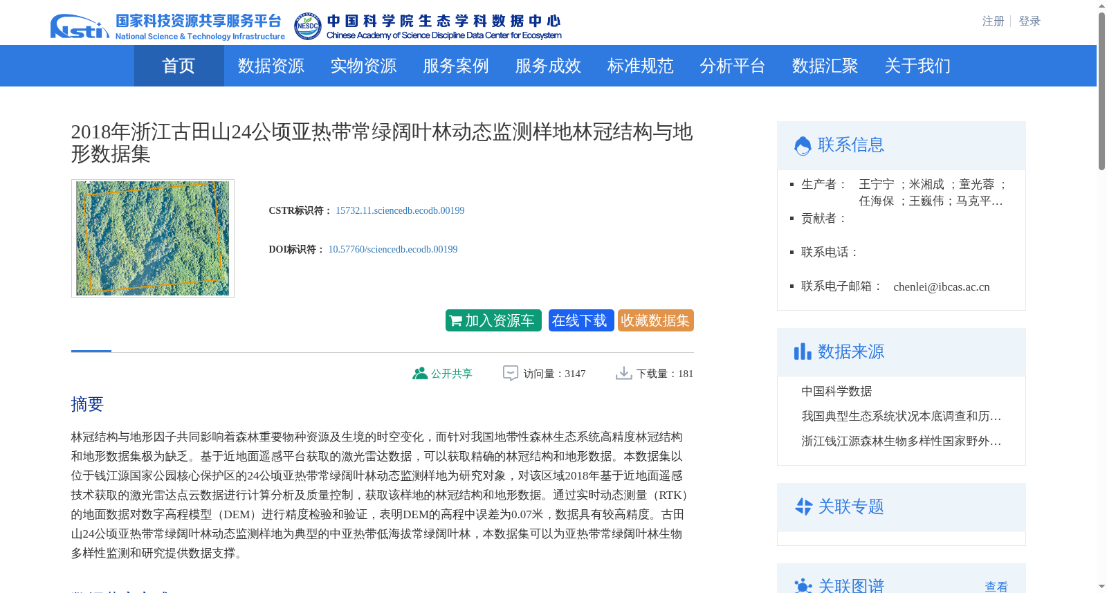
林冠结构与地形因子共同影响着森林重要物种资源及生境的时空变化,而针对我国地带性森林生态系统高精度林冠结构和地形数据集极为缺乏。基于近地面遥感平台获取的激光雷达数据,可以获取精确的林冠结构和地形数据。本数据集以位于钱江源国家公园核心保护区的24公顷亚热带常绿阔叶林动态监测样地为研究对象,对该区域2018年基于近地面遥感技术获取的激光雷达点云数据进行计算分析及质量控制,获取该样地的林冠结构和地形数据。通过实时动态测量(RTK)的地面数据对数字高程模型(DEM)进行精度检验和验证,表明DEM的高程中误差为0.07米,数据具有较高精度。古田山24公顷亚热带常绿阔叶林动态监测样地为典型的中亚热带低海拔常绿阔叶林,本数据集可以为亚热带常绿阔叶林生物多样性监测和研究提供数据支撑。
Canopy structure and topographic factors jointly drive the spatiotemporal changes of important forest species resources and their habitats. However, high-precision canopy structure and topographic datasets for zonal forest ecosystems in China are extremely scarce. Lidar data acquired via near-surface remote sensing platforms enable the acquisition of accurate canopy structure and topographic data. This study takes the 24-hectare dynamic monitoring plot of subtropical evergreen broad-leaved forest located in the core protected area of Qianjiangyuan National Park as the research object. We performed computational analysis and quality control on the lidar point cloud data obtained via near-surface remote sensing technology in this area in 2018, and derived the canopy structure and topographic data for the plot. The digital elevation model (DEM) was validated for accuracy using ground data from real-time kinematic (RTK) measurements, which demonstrated that the median elevation error of the DEM was 0.07 meters, confirming the high precision of the dataset. The 24-hectare dynamic monitoring plot of subtropical evergreen broad-leaved forest in Gutianshan is a typical mid-subtropical low-altitude evergreen broad-leaved forest ecosystem. This dataset can provide robust data support for biodiversity monitoring and research on subtropical evergreen broad-leaved forests.
创建时间:
2024-03-11
搜集汇总
数据集介绍
背景与挑战
背景概述
本数据集基于2018年近地面遥感激光雷达点云数据,提供了浙江古田山24公顷亚热带常绿阔叶林动态监测样地的高精度林冠结构和地形信息,数字高程模型的高程中误差为0.07米。数据覆盖钱江源国家公园特定区域,旨在支持亚热带常绿阔叶林的生物多样性监测与研究,填补了我国地带性森林生态系统相关数据集的空白。
以上内容由遇见数据集搜集并总结生成


