Microsoft Building Footprints
收藏DataCite Commons2025-04-10 更新2025-05-10 收录
下载链接:
http://india.climateverse.net/citation?persistentId=doi:10.71646/CGJV7K
下载链接
链接失效反馈官方服务:
资源简介:
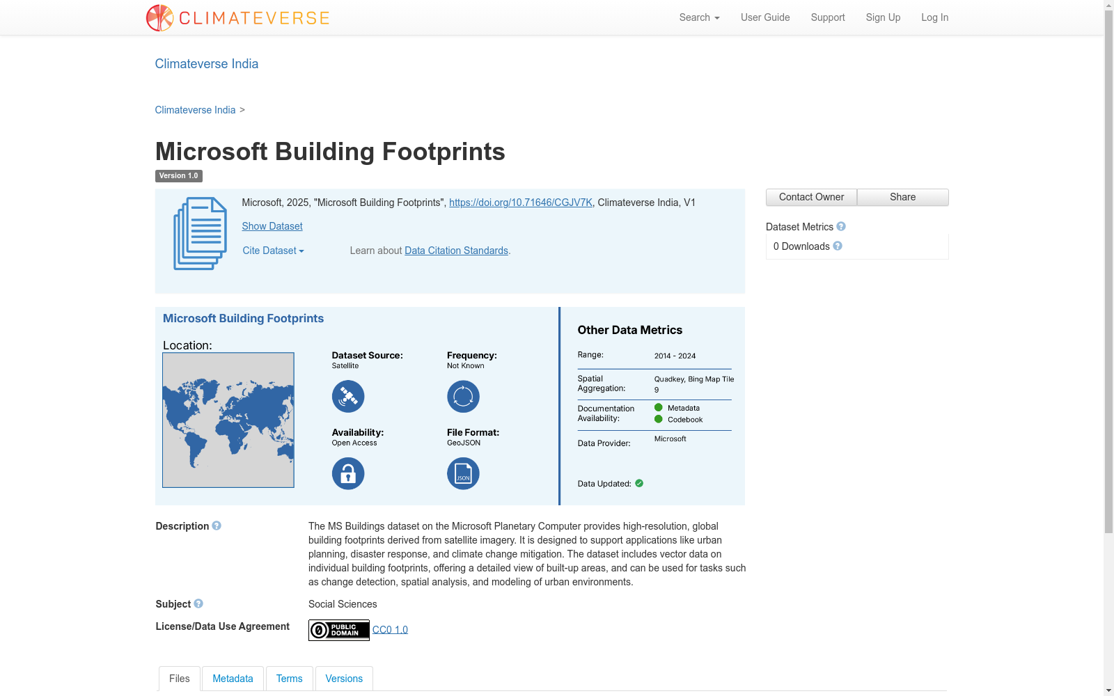
The MS Buildings dataset on the Microsoft Planetary Computer provides high-resolution, global building footprints derived from satellite imagery. It is designed to support applications like urban planning, disaster response, and climate change mitigation. The dataset includes vector data on individual building footprints, offering a detailed view of built-up areas, and can be used for tasks such as change detection, spatial analysis, and modeling of urban environments.
微软行星计算机(Microsoft Planetary Computer)平台上的MS Buildings数据集,提供基于卫星影像提取的高分辨率全球建筑占地轮廓(building footprints)。该数据集旨在支撑城市规划、灾害应急响应、气候变化减缓等领域的应用。数据集包含单体建筑占地轮廓的矢量数据,可细致呈现建成区的详细样貌,还可用于变化检测、空间分析、城市环境建模等多项任务。
提供机构:
Climateverse India
创建时间:
2025-04-10
搜集汇总
数据集介绍
背景与挑战
背景概述
Microsoft Building Footprints是一个高分辨率的全球建筑足迹数据集,源自卫星图像,支持城市规划、灾害响应和气候变化缓解等应用。数据集包含矢量数据,详细展示建筑足迹,适用于变化检测、空间分析和城市环境建模等任务。
以上内容由遇见数据集搜集并总结生成


