2018-2020年中国农业大学石羊河实验站主要农作物的无人机观测数据
收藏国家生态科学数据中心2024-03-04 收录
下载链接:
http://www.nesdc.org.cn/sdo/detail?id=62aaf0797e281714dcb60384
下载链接
链接失效反馈官方服务:
资源简介:
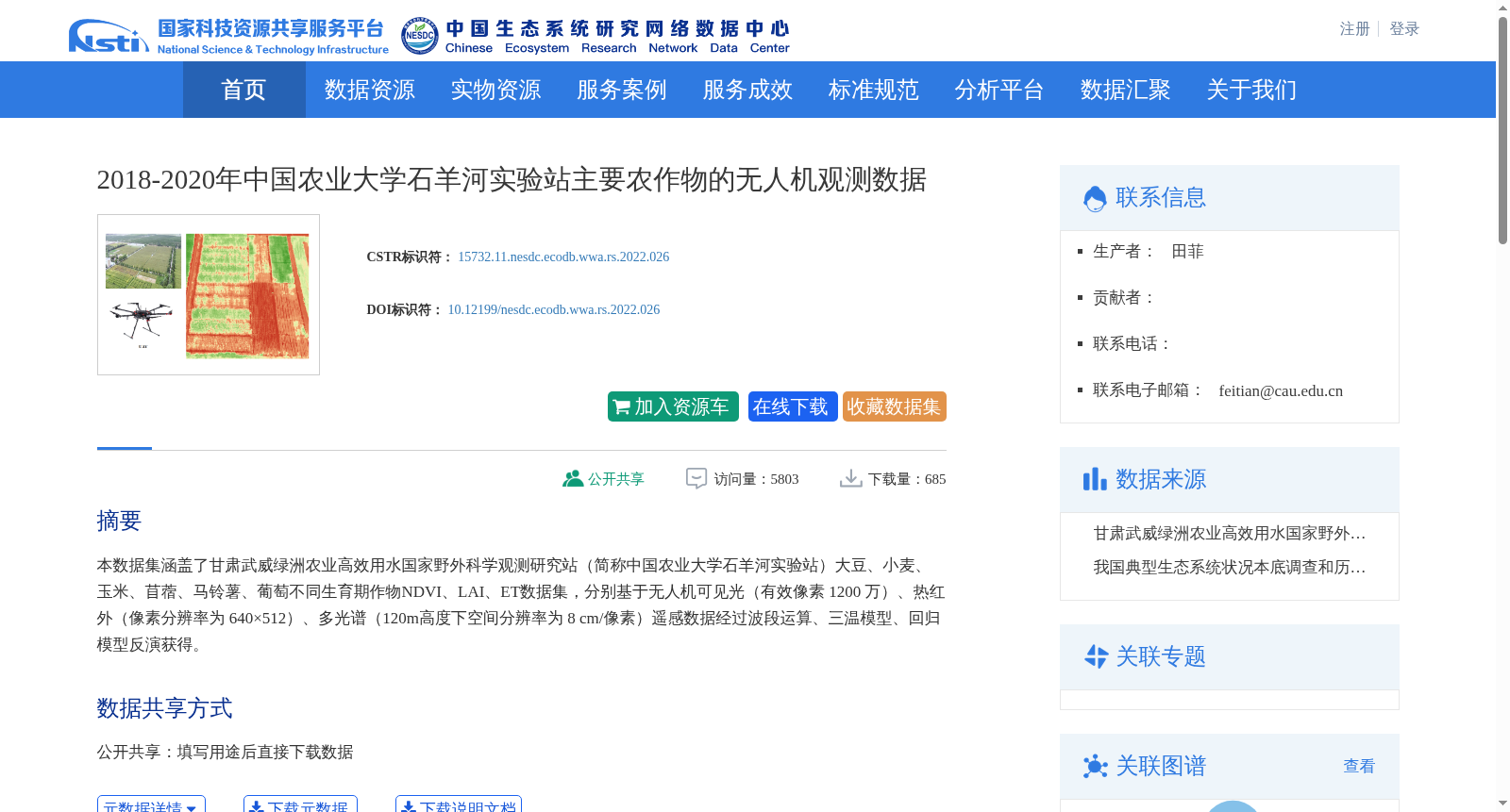
本数据集涵盖了甘肃武威绿洲农业高效用水国家野外科学观测研究站(简称中国农业大学石羊河实验站)大豆、小麦、玉米、苜蓿、马铃薯、葡萄不同生育期作物NDVI、LAI、ET数据集,分别基于无人机可见光(有效像素 1200 万)、热红外(像素分辨率为 640×512)、多光谱(120m高度下空间分辨率为 8 cm/像素)遥感数据经过波段运算、三温模型、回归模型反演获得。
This dataset contains NDVI (Normalized Difference Vegetation Index), LAI (Leaf Area Index), and ET (Evapotranspiration) data for soybean, wheat, maize, alfalfa, potato, and grape at various growth stages, acquired at the National Field Scientific Observation and Research Station for Efficient Water Use in Oasis Agriculture located in Wuwei, Gansu (abbreviated as the Shiyang River Experimental Station of China Agricultural University). The dataset was derived from three types of remote sensing data: UAV visible remote sensing data (effective pixel count: 12 million), thermal infrared remote sensing data (pixel resolution: 640×512), and multispectral remote sensing data (spatial resolution: 8 cm/pixel at a flight altitude of 120 m), with the retrieval processes employing band operations, three-temperature model, and regression model inversion respectively.
提供机构:
台站
创建时间:
2022-04-01
搜集汇总
数据集介绍
背景与挑战
背景概述
该数据集包含2018-2020年中国农业大学石羊河实验站主要农作物(大豆、小麦、玉米等)的无人机观测数据,涵盖NDVI、LAI、ET等关键指标,基于多光谱、热红外和可见光遥感技术反演获得。数据集具有高时空分辨率(8 cm/像素),适用于农业工程和生态研究领域。
以上内容由遇见数据集搜集并总结生成


