空气污染监测
收藏郑州数据交易中心2023-10-31 更新2024-10-10 收录
下载链接:
https://market.zzbdex.com/trade/service/1719186598952271873
下载链接
链接失效反馈官方服务:
资源简介:
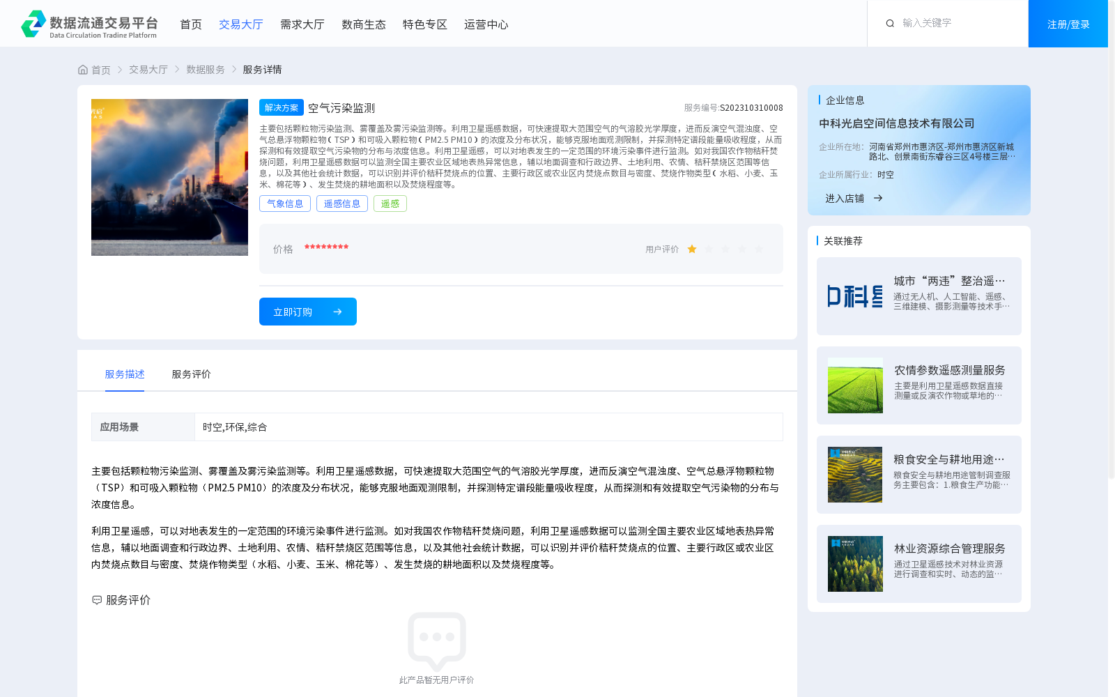
主要包括颗粒物污染监测、雾覆盖及雾污染监测等。利用卫星遥感数据,可快速提取大范围空气的气溶胶光学厚度,进而反演空气混浊度、空气总悬浮物颗粒物(TSP)和可吸入颗粒物(PM2.5 PM10)的浓度及分布状况,能够克服地面观测限制,并探测特定谱段能量吸收程度,从而探测和有效提取空气污染物的分布与浓度信息。利用卫星遥感,可以对地表发生的一定范围的环境污染事件进行监测。如对我国农作物秸秆焚烧问题,利用卫星遥感数据可以监测全国主要农业区域地表热异常信息,辅以地面调查和行政边界、土地利用、农情、秸秆禁烧区范围等信息,以及其他社会统计数据,可以识别并评价秸秆焚烧点的位置、主要行政区或农业区内焚烧点数目与密度、焚烧作物类型(水稻、小麦、玉米、棉花等)、发生焚烧的耕地面积以及焚烧程度等。
This dataset mainly covers particulate matter pollution monitoring, fog coverage and fog-related pollution monitoring, among others. By utilizing satellite remote sensing data, the aerosol optical thickness of large-scale air can be rapidly extracted, and subsequently the concentration and distribution of air turbidity, total suspended particulates (TSP), and inhalable particulates (PM2.5, PM10) can be retrieved. This approach can overcome the limitations of ground-based observations, detect the energy absorption level of specific spectral bands, and thus detect and effectively extract the distribution and concentration information of air pollutants.
Satellite remote sensing can also be employed to monitor environmental pollution events occurring within a certain scope on the Earth's surface. Take the crop straw burning issue in China as an example: satellite remote sensing data can be used to monitor surface thermal anomaly information in major national agricultural regions. Combined with ground surveys, administrative boundaries, land use data, agricultural situation information, the scope of straw burning prohibition zones, and other relevant information, as well as other social statistical data, the location of straw burning points, the number and density of burning points in major administrative regions or agricultural areas, the types of burned crops (rice, wheat, corn, cotton, etc.), the cultivated land area where burning occurred, and the degree of burning can be identified and evaluated.
提供机构:
中科光启空间信息技术有限公司
创建时间:
2023-10-31
搜集汇总
数据集介绍
背景与挑战
背景概述
该数据集提供空气污染监测服务,利用卫星遥感技术监测颗粒物污染、雾覆盖及雾污染,并能反演空气混浊度、TSP、PM2.5和PM10的浓度及分布。同时,该服务还能监测地表环境污染事件,如农作物秸秆焚烧问题。
以上内容由遇见数据集搜集并总结生成


