青藏高原地区Cryosat-2高度计GDR数据湖泊水位数据集(2013-2019)
收藏国家青藏高原科学数据中心2023-10-18 更新2024-03-06 收录
下载链接:
https://data.tpdc.ac.cn/zh-hans/data/713b0184-16a0-4ecf-9ab2-16850c98027d
下载链接
链接失效反馈官方服务:
资源简介:
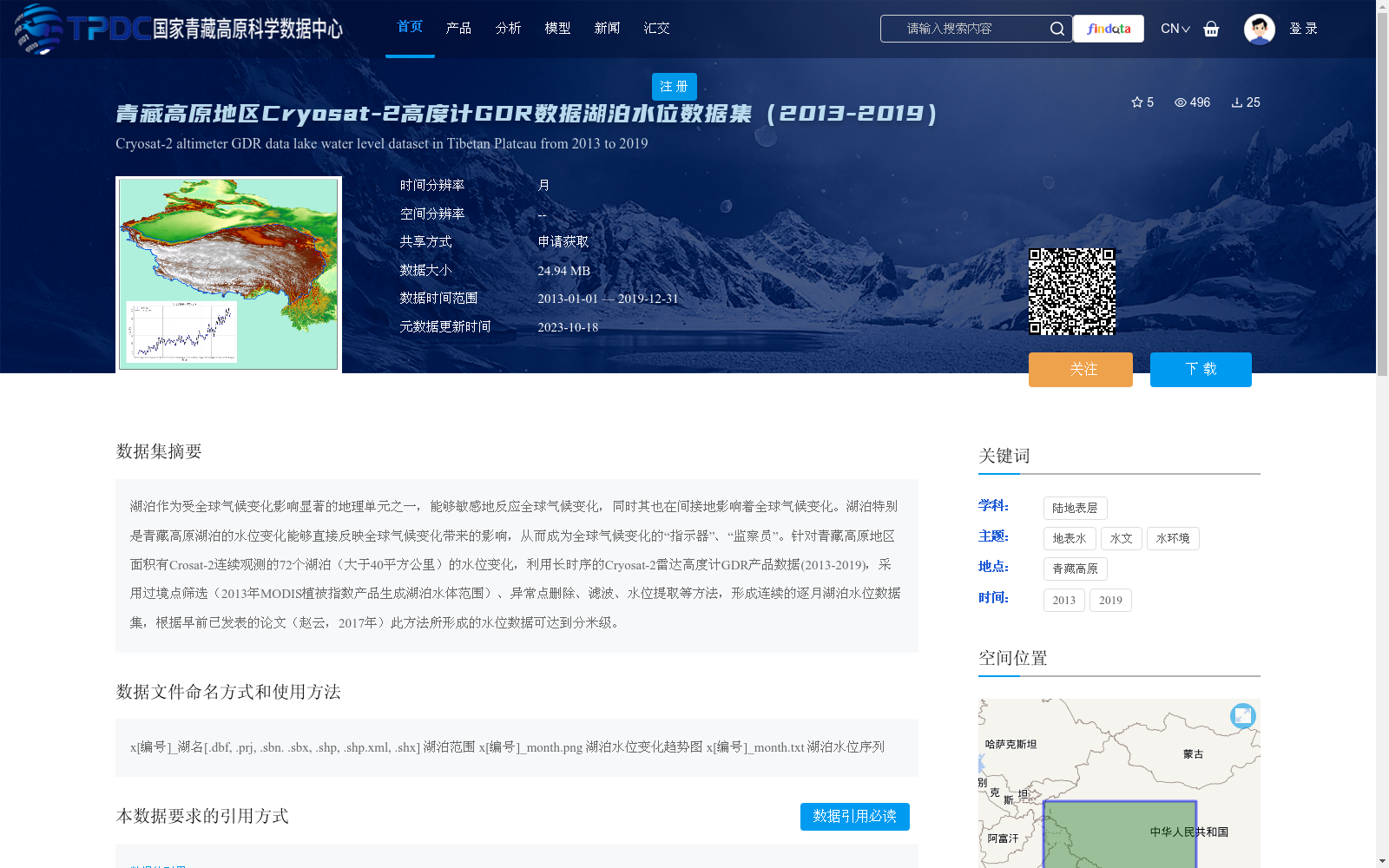
湖泊作为受全球气候变化影响显著的地理单元之一,能够敏感地反应全球气候变化,同时其也在间接地影响着全球气候变化。湖泊特别是青藏高原湖泊的水位变化能够直接反映全球气候变化带来的影响,从而成为全球气候变化的“指示器”、“监察员”。针对青藏高原地区面积有Crosat-2连续观测的72个湖泊(大于40平方公里)的水位变化,利用长时序的Cryosat-2雷达高度计GDR产品数据(2013-2019),采用过境点筛选(2013年MODIS植被指数产品生成湖泊水体范围)、异常点删除、滤波、水位提取等方法,形成连续的逐月湖泊水位数据集,根据早前已发表的论文(赵云,2017年)此方法所形成的水位数据可达到分米级。
As one of the geographic units significantly affected by global climate change, lakes can sensitively reflect global climate change, while also indirectly exerting impacts on it. The changes in lake water levels, especially those on the Qinghai-Tibet Plateau, can directly reflect the impacts brought by global climate change, thus serving as "indicators" and "monitors" of global climate change. Focusing on the water level changes of 72 lakes (with an area larger than 40 km²) on the Qinghai-Tibet Plateau that have continuous Cryosat-2 observations, we utilized long-time-series Cryosat-2 radar altimeter GDR product data (2013–2019), and adopted methods including ground track screening (lake water body ranges generated from 2013 MODIS vegetation index products), outlier removal, filtering, and water level extraction, to develop a continuous monthly lake water level dataset. According to a previously published paper (Zhao Yun, 2017), the water level data generated by this method can achieve decimeter-level accuracy.
提供机构:
沈国状
创建时间:
2022-11-15
搜集汇总
数据集介绍
背景与挑战
背景概述
该数据集提供了2013至2019年间青藏高原72个面积大于40平方公里的湖泊的逐月水位数据,基于Cryosat-2雷达高度计GDR产品数据生成,水位数据精度可达分米级,用于监测全球气候变化对湖泊水位的影响。数据以多种格式存储,包括湖泊范围、水位变化趋势图和水位序列。
以上内容由遇见数据集搜集并总结生成


