InSAR数据服务平台
收藏海南省数据产品超市2024-07-25 更新2024-07-26 收录
下载链接:
https://www.datadex.cn/app/buyApi?id=7a80a2bdff1c40afb1b813394f5bed97
下载链接
链接失效反馈官方服务:
资源简介:
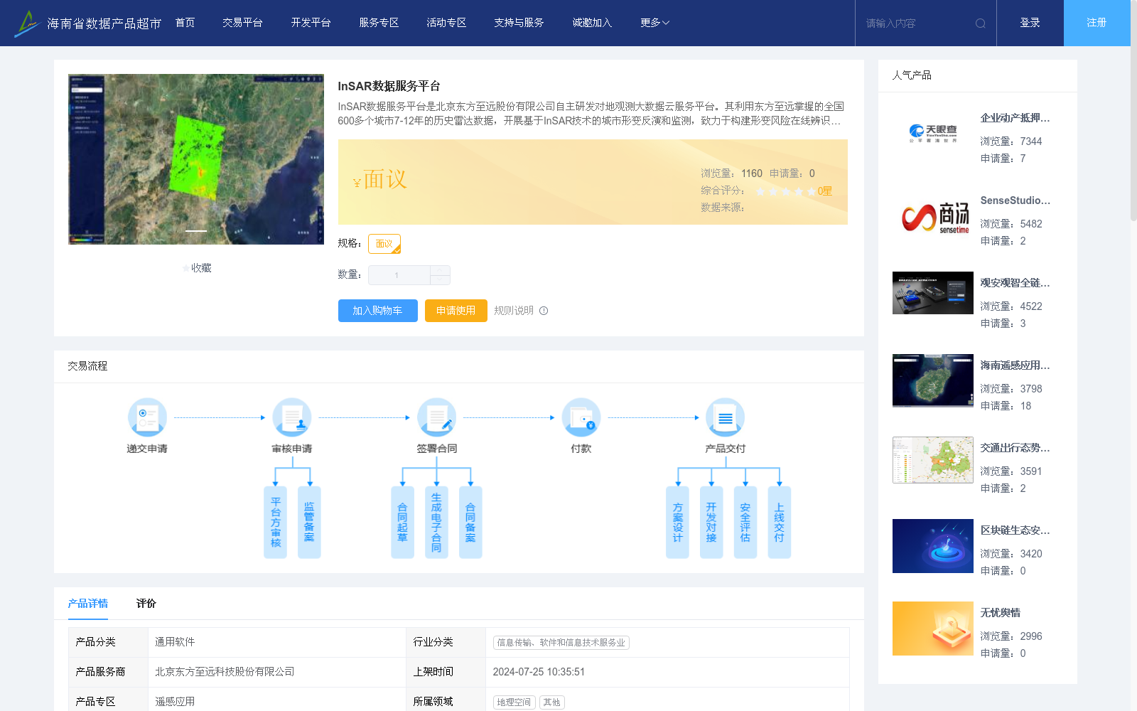
InSAR数据服务平台是北京东方至远股份有限公司自主研发对地观测大数据云服务平台。其利用东方至远掌握的全国600多个城市7-12年的历史雷达数据,开展基于InSAR技术的城市形变反演和监测,致力于构建形变风险在线辨识平台,提供InSAR数据成果的在线浏览与形变分析功能,快速实现形变风险区的筛查分析。
平台利用丰富的雷达存档数据,大面积了开展城市形变监测,不仅能为风险评估提供依据,还能对重要工程设施或调查客户指定区域,做出针对性的重点监测,快速实现对建筑物、地铁、道路、高铁、电力、水利、能源等工程设施的风险筛查、分析等。
The InSAR Data Service Platform is an independently developed Earth observation big data cloud service platform by Beijing Oriental Zhiyuan Co., Ltd. Leveraging the 7–12 year historical radar data of over 600 cities across China mastered by Oriental Zhiyuan, the platform conducts urban deformation inversion and monitoring based on InSAR technology. It is committed to building an online deformation risk identification platform, providing online browsing of InSAR data products and deformation analysis functions, and rapidly realizing the screening and analysis of deformation risk areas.
By utilizing its rich radar archive data, the platform carries out large-scale urban deformation monitoring. It can not only provide a basis for risk assessment, but also conduct targeted key monitoring on important engineering facilities or designated areas specified by survey clients, and rapidly achieve risk screening and analysis for engineering facilities such as buildings, subways, roads, high-speed railways, power facilities, water conservancy projects, energy facilities and other related infrastructure.
提供机构:
北京东方至远科技股份有限公司
创建时间:
2024-07-25
搜集汇总
数据集介绍
背景与挑战
背景概述
InSAR数据服务平台是一个基于历史雷达数据的城市形变监测平台,覆盖全国600多个城市,提供形变风险筛查和分析功能,适用于地质灾害预防、城市沉降评估等多种场景。
以上内容由遇见数据集搜集并总结生成


