中国水产养殖池塘空间分布数据集(2023年)
收藏资源简介:
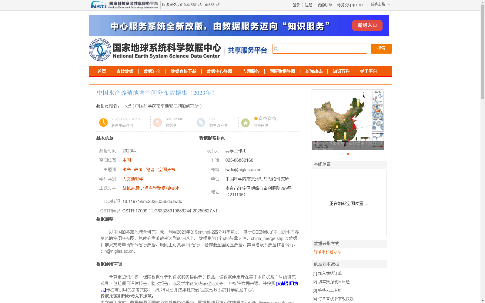
以中国的养殖池塘为研究对象,利用2023年的Sentinel-2高分辨率数据,基于GEE绘制了中国的水产养殖池塘空间分布图,总体分类准确率达到90%以上。 数据集为1个shp矢量文件,china_merge.shp 该数据目前只支持申请部分省份数据,原则上可共享2个省份,若需要全国范围数据,需直接联系数据作者咨询,clin@niglas.ac.cn。
This study takes China's aquaculture ponds as the research object, utilizes 2023 Sentinel-2 high-resolution remote sensing data, and generates the spatial distribution map of China's aquaculture ponds based on Google Earth Engine (GEE), with an overall classification accuracy exceeding 90%. The dataset is a single shapefile (SHP) named china_merge.shp. Currently, this dataset only supports requesting data for selected provinces. In principle, data of up to two provinces can be shared. If you need national-scale data, please directly contact the data author for consultation at clin@niglas.ac.cn.