长江经济带VIIRS夜间灯光月度数据集(2012-2021年)
收藏国家地球系统科学数据中心2023-11-27 更新2024-04-21 收录
下载链接:
https://www.geodata.cn/data/datadetails.html?dataguid=78623923020125&docId=4268
下载链接
链接失效反馈官方服务:
资源简介:
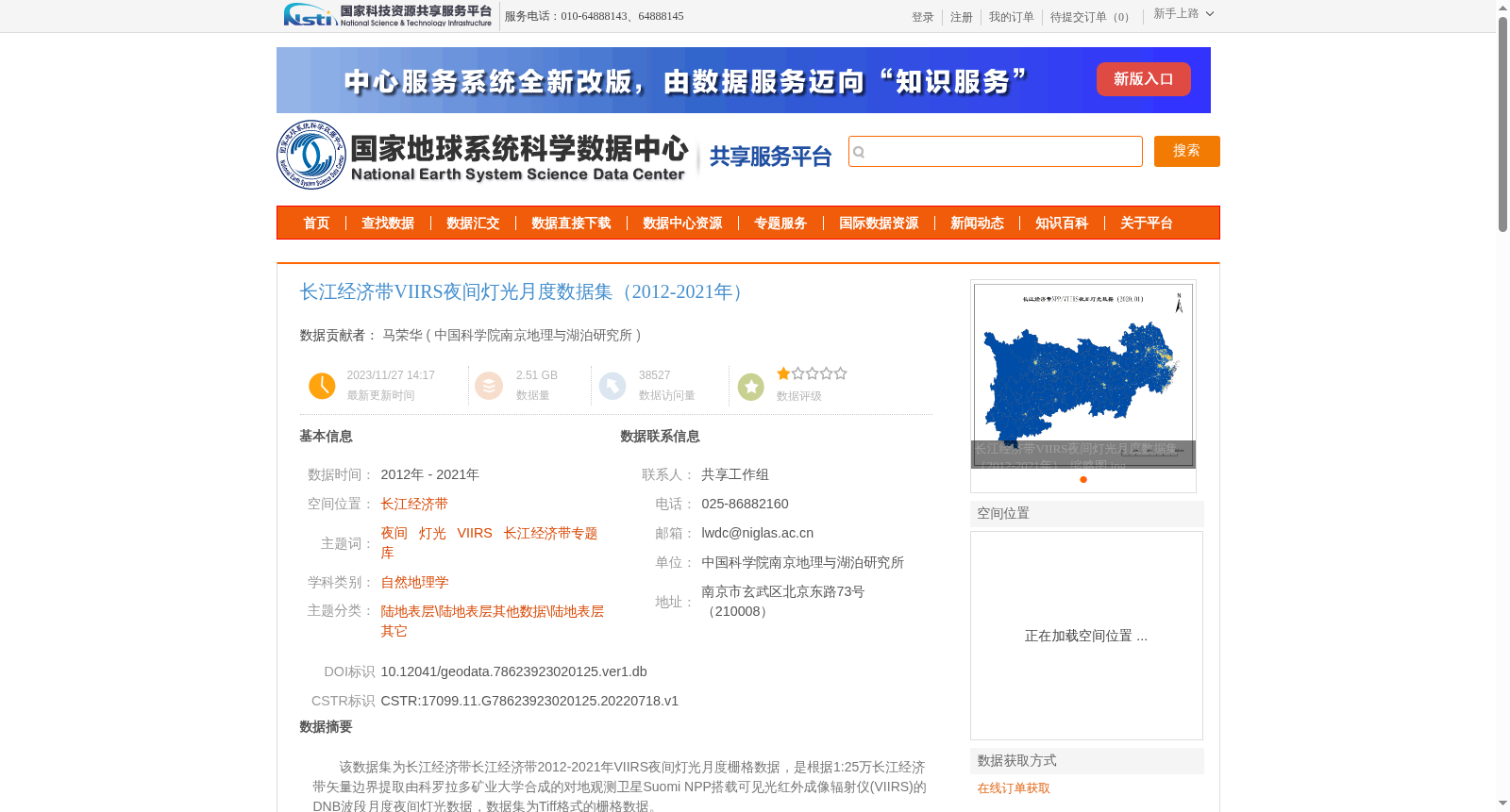
该数据集为长江经济带长江经济带2012-2021年VIIRS夜间灯光月度栅格数据,是根据1:25万长江经济带矢量边界提取由科罗拉多矿业大学合成的对地观测卫星Suomi NPP搭载可见光红外成像辐射仪(VIIRS)的 DNB波段月度夜间灯光数据,数据集为Tiff格式的栅格数据。
This dataset consists of monthly VIIRS night light raster data for the Yangtze River Economic Belt spanning 2012 to 2021. The data is derived from the monthly night light data of the Day/Night Band (DNB) of the Visible Infrared Imaging Radiometer Suite (VIIRS) onboard the Suomi NPP Earth Observing satellite, which was synthesized by the Colorado School of Mines, and extracted using the 1:250,000-scale vector boundary of the Yangtze River Economic Belt. All data in this dataset are stored as TIFF-format raster files.
提供机构:
中国科学院南京地理与湖泊研究所
创建时间:
2022-07-18
搜集汇总
数据集介绍
背景与挑战
背景概述
该数据集为长江经济带2012-2021年的VIIRS夜间灯光月度栅格数据,来源于科罗拉多矿业大学合成的Suomi NPP卫星数据,经过裁剪处理,适用于夜间灯光相关研究。数据格式为Tiff,空间投影为WGS84坐标系,质量与源数据一致。
以上内容由遇见数据集搜集并总结生成


