波密和墨脱地区鸟类调查总结(2018)
收藏地球大数据科学工程2024-05-01 收录
下载链接:
https://data.casearth.cn/sdo/detail/5feae826819aec33049b7c89
下载链接
链接失效反馈官方服务:
资源简介:
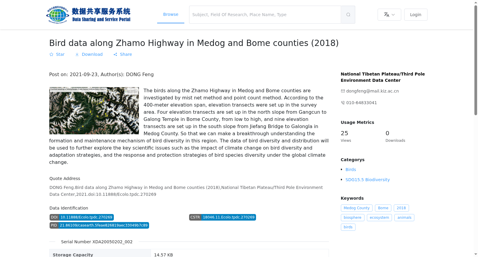
采用网捕法和样点法对墨脱和波密县扎墨公路沿线的鸟类进行调查,按400米海拔跨度对考察区域分别设置海拔带,北坡从波密县岗村至嘎隆寺,由低到高设置了4个海拔带,南坡从墨脱县背崩乡解放大桥至嘎隆拉,由低到高设置了9个海拔带,获取岗日嘎布西北段南北坡鸟类多样性和分布数据,以期对理解这一区域鸟类多样性的形成和维持机制方面取得重大突破,进一步探讨气候变化对鸟类多样性的影响与适应策略、物种多样性对全球变化的响应与保护策略等关键科学问题。
Bird surveys were conducted along the Zhamo Highway in Motuo and Bomi Counties using mist netting and point count methods. Elevation zones were established for the study area at 400-meter intervals. For the northern slope, which stretches from Gang Village to Galung Monastery in Bomi County, four elevation zones were set up from low to high elevation; for the southern slope, which spans from Jiefang Bridge in Beibeng Township, Motuo County to Galung La, nine elevation zones were established from low to high elevation. Data on bird diversity and distribution on the northern and southern slopes of the northwestern section of the Gangrigabu Mountains were collected. This study aims to achieve significant breakthroughs in understanding the formation and maintenance mechanisms of bird diversity in this region, and further explore key scientific issues including the impacts of climate change on bird diversity and corresponding adaptation strategies, the responses of species diversity to global changes and their conservation strategies, and other relevant topics.
提供机构:
国家青藏高原科学数据中心
搜集汇总
数据集介绍
背景与挑战
背景概述
该数据集记录了2018年波密和墨脱地区沿扎墨公路的鸟类调查数据,采用雾网法和点计数法进行采集,并设置了海拔样带以研究鸟类多样性的形成机制。数据用于探讨气候变化对鸟类多样性的影响及适应策略等科学问题。
以上内容由遇见数据集搜集并总结生成


