中国4 km分辨率逐日降水量数据集(2000-2020年)
收藏国家地球系统科学数据中心2025-04-11 更新2025-01-04 收录
下载链接:
https://www.geodata.cn/data/datadetails.html?dataguid=6133829893120&docId=1521
下载链接
链接失效反馈官方服务:
资源简介:
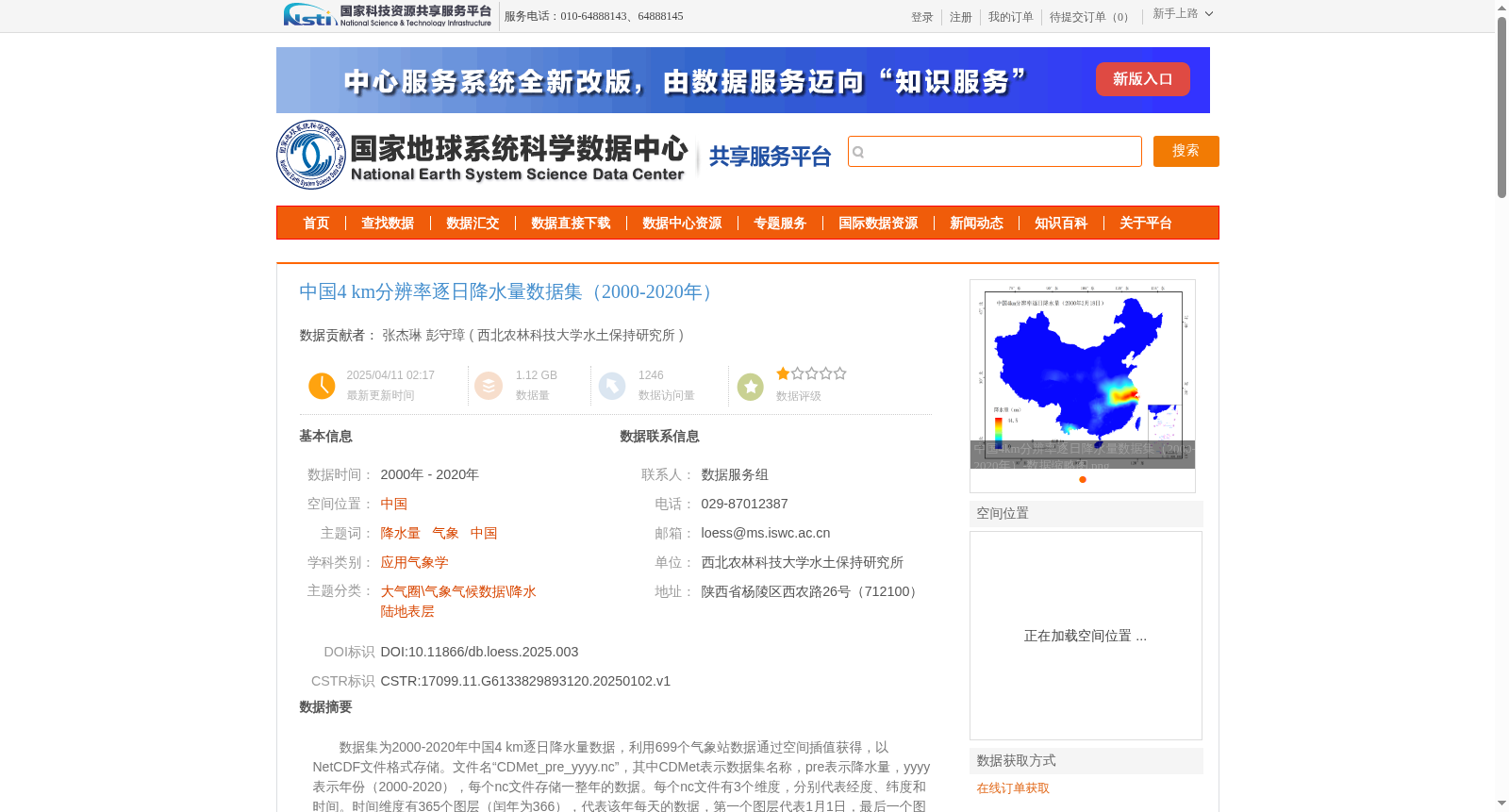
数据集为2000-2020年中国4 km逐日降水量数据,利用699个气象站数据通过空间插值获得,以NetCDF文件格式存储。文件名“CDMet_pre_yyyy.nc”,其中CDMet表示数据集名称,pre表示降水量,yyyy表示年份(2000-2020),每个nc文件存储一整年的数据。每个nc文件有3个维度,分别代表经度、纬度和时间。时间维度有365个图层(闰年为366),代表该年每天的数据,第一个图层代表1月1日,最后一个图层代表12月31日,以此类推。为了节省存储空间,数据被缩放为 int16 格式。
This dataset provides daily precipitation data at a 4 km spatial resolution across China for the period 2000–2020. It was generated via spatial interpolation using observations from 699 national meteorological stations, and stored in NetCDF file format. The file naming convention is "CDMet_pre_yyyy.nc", where CDMet denotes the dataset name, pre represents precipitation, and yyyy stands for the four-digit year (2000–2020). Each NetCDF file holds complete annual data for one specific year. Each .nc file includes three dimensions: longitude, latitude, and time. The time dimension contains 365 layers (366 for leap years), which correspond to daily precipitation records of the year, with the first layer representing January 1st and the last layer representing December 31st in chronological order. To reduce storage space, the precipitation data has been scaled to the int16 data format.
提供机构:
西北农林科技大学水土保持研究所
创建时间:
2025-01-02
搜集汇总
数据集介绍
背景与挑战
背景概述
该数据集涵盖2000至2020年中国4公里分辨率的逐日降水量,基于699个气象站数据通过空间插值方法生成,以NetCDF格式存储,适用于水文、农业和生态研究等领域。
以上内容由遇见数据集搜集并总结生成


