北极1:100万行政边界数据集(2014)
收藏国家青藏高原科学数据中心2021-04-19 更新2024-03-01 收录
下载链接:
https://data.tpdc.ac.cn/zh-hans/data/50efe8d7-7a61-4fab-bd1e-4467268e03d6
下载链接
链接失效反馈官方服务:
资源简介:
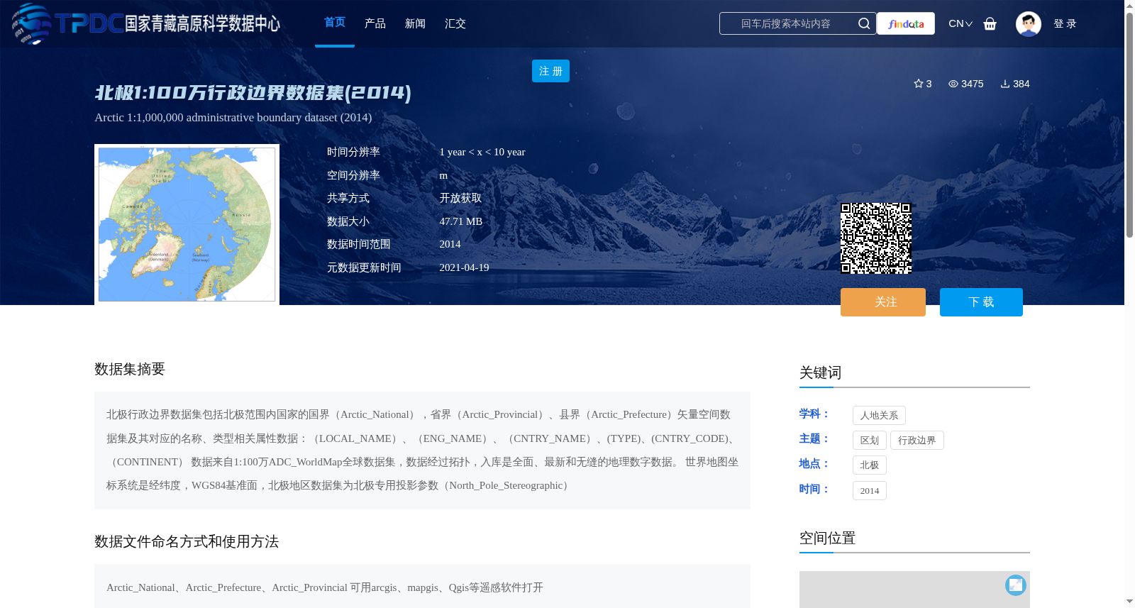
北极行政边界数据集包括北极范围内国家的国界(Arctic_National),省界(Arctic_Provincial)、县界(Arctic_Prefecture)矢量空间数据集及其对应的名称、类型相关属性数据:(LOCAL_NAME)、(ENG_NAME)、(CNTRY_NAME)、(TYPE)、(CNTRY_CODE)、(CONTINENT)
数据来自1:100万ADC_WorldMap全球数据集,数据经过拓扑,入库是全面、最新和无缝的地理数字数据。
世界地图坐标系统是经纬度,WGS84基准面,北极地区数据集为北极专用投影参数(North_Pole_Stereographic)
The Arctic Administrative Boundary Dataset encompasses vector spatial datasets of national boundaries (Arctic_National), provincial boundaries (Arctic_Provincial), and prefectural boundaries (Arctic_Prefecture) within the Arctic region, alongside their associated attribute data related to names and types: (LOCAL_NAME), (ENG_NAME), (CNTRY_NAME), (TYPE), (CNTRY_CODE), and (CONTINENT).
This dataset originates from the 1:1,000,000-scale ADC_WorldMap global dataset. The raw data has undergone topological processing, and the final ingested data constitutes comprehensive, up-to-date, and seamless geospatial digital data.
The coordinate system of the global world map adopts geographic coordinates (latitude and longitude) with the WGS84 datum, whereas the Arctic regional dataset utilizes the dedicated North Pole Stereographic projection parameters.
提供机构:
ADC WorldMap
创建时间:
2019-03-06
搜集汇总
数据集介绍
背景与挑战
背景概述
该数据集是2014年北极地区1:100万比例尺的行政边界矢量数据,包含国界、省界和县界三级边界及其相关属性信息。数据来源于ADC_WorldMap全球数据集,采用北极专用投影和WGS84坐标系,经过拓扑处理确保质量,适用于GIS软件分析。
以上内容由遇见数据集搜集并总结生成


