西藏阿里-那曲地区植被调查数据(2019-2024)
收藏国家青藏高原科学数据中心2025-04-28 更新2024-03-06 收录
下载链接:
https://data.tpdc.ac.cn/zh-hans/data/126e5f4a-49fe-47bd-82c0-5f6cfbcf162d
下载链接
链接失效反馈官方服务:
资源简介:
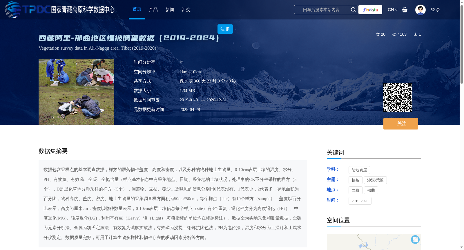
数据包含采样点的基本调查数据,样方的群落物种盖度、高度和密度,以及分种的物种地上生物量、0-10cm表层土壤的温度、水分、PH、有效氮、有效磷、全碳、全氮含量(样点基本信息中有采集地点、日期、采集地的土壤状况,处理中的CK不分种采样的样方(5个),D是退化草地分种采样的样方(5个),凋落物、立枯、覆沙…盐碱斑的信息分别用0代表没有、1代表少,2代表多,裸地面积为百分比;物种高度、盖度、密度、地上生物量的采集调查样方面积为50cm*50cm,每个样点(site)有10个样方(sample),盖度以百分比表示,高度为厘米cm,密度以物种数量表示,0-10cm表层土壤信息每个样点(site)有3个重复,退化程度分为高度退化(HG)、中度退化(MG)、轻度退化(LG),利用率有重(Heavy)轻(Light),每项指标的单位均在标题标注)。数据全为实地采集和测量数据,全碳为元素分析法、全氮为凯氏定氮法,有效氮为碱解扩散法,有效磷为浸提—钼锑抗比色法,PH为电位法,温度和水分为土温计和土壤水分仪测定。数据质量完好,可用于计算生物多样性和物种存在的驱动因素分析等方向。
This dataset includes basic survey data of sampling sites, community species coverage, height and density of quadrats, as well as species-specific aboveground biomass, and physicochemical properties of 0-10 cm surface soil including temperature, moisture, pH, available nitrogen, available phosphorus, total carbon and total nitrogen content. Basic sampling site information covers collection location, collection date and soil conditions of the sampling area. For experimental treatments, CK represents 5 quadrats with non-species-specific sampling, while D represents 5 quadrats with species-specific sampling in degraded grasslands. Information on litter, standing dead litter, sand cover and saline-alkali spots is coded as 0 for absent, 1 for low abundance and 2 for high abundance. Bare ground area is expressed as a percentage. The survey quadrats for measuring species height, coverage, density and aboveground biomass have a size of 50 cm × 50 cm. Each sampling site contains 10 quadrat samples. Coverage is expressed as a percentage, height is in centimeters (cm), density is expressed as the number of individuals of each species, and for the 0-10 cm surface soil properties, each sampling site has 3 replicate samples. Degradation degrees are classified into high degradation (HG), moderate degradation (MG) and light degradation (LG). Utilization levels are categorized as Heavy and Light. Units for each indicator are specified in the corresponding column headers. All data in this dataset were obtained through field collection and on-site measurements. Total carbon was determined via elemental analysis, total nitrogen via the Kjeldahl method, available nitrogen via the alkaline hydrolysis diffusion method, available phosphorus via the extraction-molybdenum-antimony colorimetric method, soil pH via the potentiometric method, and soil temperature and moisture via soil thermometers and soil moisture meters. The dataset has complete and high-quality data, and can be used for analyses such as biodiversity calculation and driving factor analysis of species occurrence.
提供机构:
田大栓
创建时间:
2021-04-25
搜集汇总
数据集介绍
背景与挑战
背景概述
该数据集包含2019-2020年西藏阿里-那曲地区的植被调查数据,涵盖样方群落物种盖度、高度、密度及地上生物量,以及0-10cm表层土壤的多种理化性质。数据通过实地采集和测量获得,质量完好,适用于生物多样性和物种驱动因素分析研究。
以上内容由遇见数据集搜集并总结生成


