
A dataset of 1km Grid Land Development Intensity in Yangtze river economic belt(2020)
收藏Mendeley Data2023-01-31 更新2024-06-27 收录
下载链接:
https://www.doi.org/10.57760/sciencedb.06244
下载链接
链接失效反馈官方服务:
资源简介:
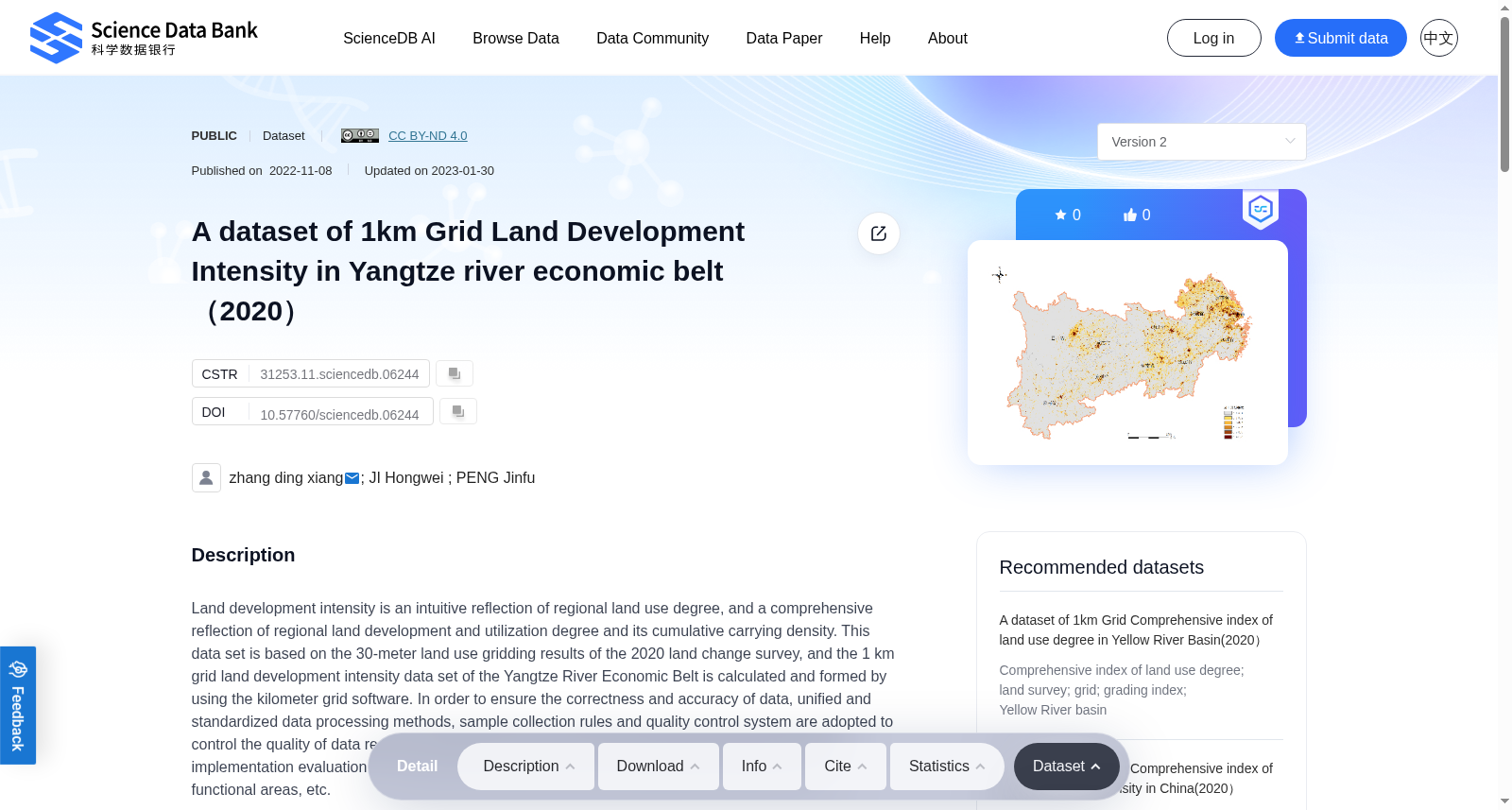
Land development intensity is an intuitive reflection of regional land use degree, and a comprehensive reflection of regional land development and utilization degree and its cumulative carrying density. This data set is based on the 30-meter land use gridding results of the 2020 land change survey, and the 1 km grid land development intensity data set of the Yangtze River Economic Belt is calculated and formed by using the kilometer grid software. In order to ensure the correctness and accuracy of data, unified and standardized data processing methods, sample collection rules and quality control system are adopted to control the quality of data results. This data set can be used for land and space planning, planning implementation evaluation, urban physical examination, policy implementation evaluation of main functional areas, etc.
土地开发强度是区域土地利用程度的直观体现,亦是区域土地开发利用程度及其累积承载密度的综合反映。本数据集基于2020年土地变更调查的30米土地利用网格化成果,借助千米网格软件计算生成长江经济带1千米网格土地开发强度数据集。为保障数据的正确性与精准性,本数据集采用统一规范的数据处理方法、样本采集规则与质量管控体系对数据成果开展质量控制。本数据集可应用于国土空间规划、规划实施评估、城市体检、主体功能区政策实施评估等领域。
创建时间:
2023-01-31
搜集汇总
数据集介绍
背景与挑战
背景概述
该数据集提供了2020年长江经济带1公里网格尺度的土地开发强度数据,基于30米土地利用网格结果计算生成,并采用标准化质量控制确保准确性。它可用于国土空间规划、政策评估和城市体检等应用,直观反映区域土地利用和开发强度。
以上内容由遇见数据集搜集并总结生成

暂无相关数据集


