黑河流域地表过程综合观测网(垭口站自动气象站-2023)
收藏国家青藏高原科学数据中心2024-07-18 更新2024-08-03 收录
下载链接:
https://data.tpdc.ac.cn/zh-hans/data/27a06f57-fea5-41c3-889c-08dd5d6efc2b
下载链接
链接失效反馈官方服务:
资源简介:
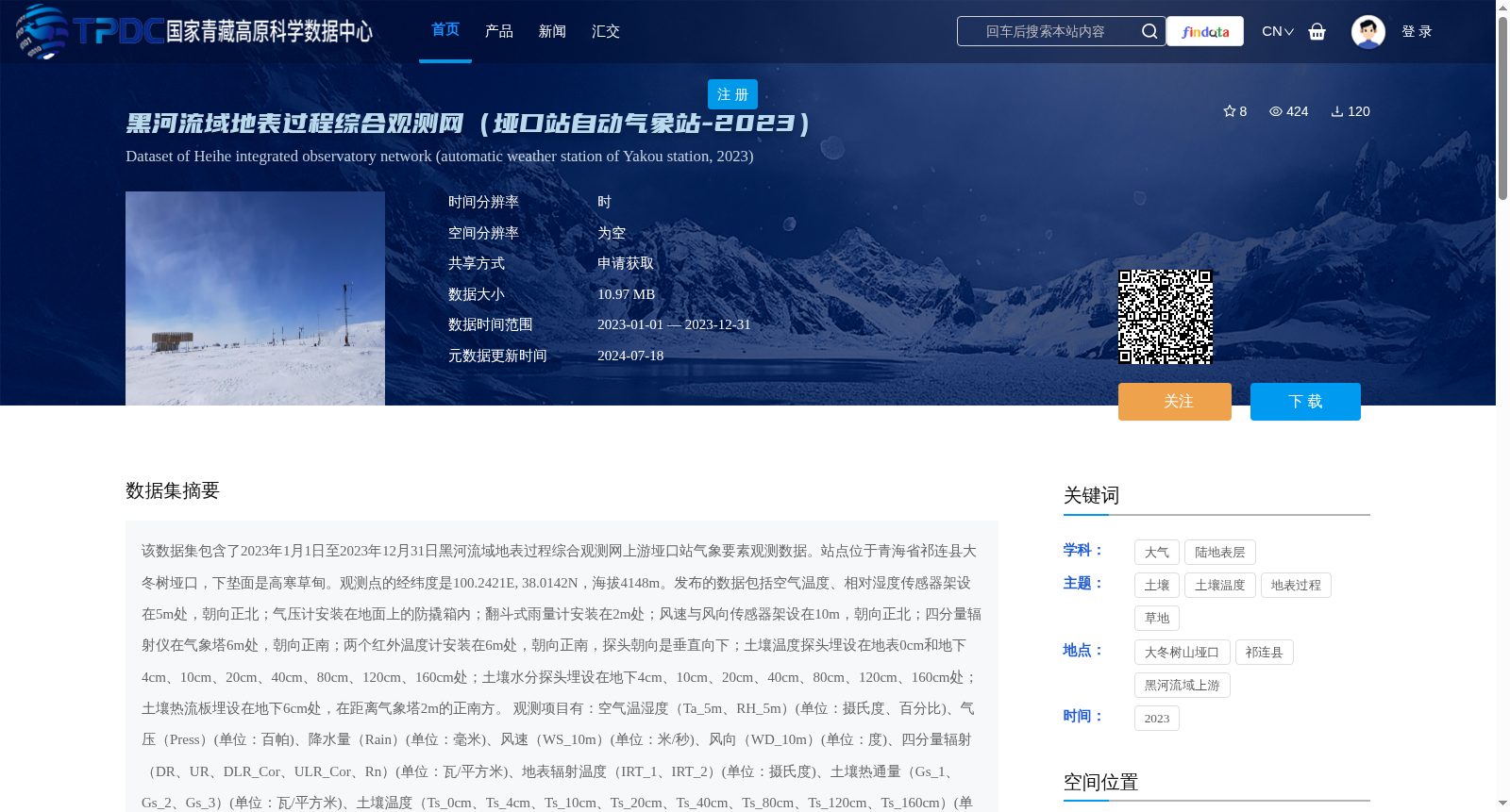
该数据集包含了2023年1月1日至2023年12月31日黑河流域地表过程综合观测网上游垭口站气象要素观测数据。站点位于青海省祁连县大冬树垭口,下垫面是高寒草甸。观测点的经纬度是100.2421E, 38.0142N,海拔4148m。发布的数据包括空气温度、相对湿度传感器架设在5m处,朝向正北;气压计安装在地面上的防撬箱内;翻斗式雨量计安装在2m处;风速与风向传感器架设在10m,朝向正北;四分量辐射仪在气象塔6m处,朝向正南;两个红外温度计安装在6m处,朝向正南,探头朝向是垂直向下;土壤温度探头埋设在地表0cm和地下4cm、10cm、20cm、40cm、80cm、120cm、160cm处;土壤水分探头埋设在地下4cm、10cm、20cm、40cm、80cm、120cm、160cm处;土壤热流板埋设在地下6cm处,在距离气象塔2m的正南方。
观测项目有:空气温湿度(Ta_5m、RH_5m)(单位:摄氏度、百分比)、气压(Press)(单位:百帕)、降水量(Rain)(单位:毫米)、风速(WS_10m)(单位:米/秒)、风向(WD_10m)(单位:度)、四分量辐射(DR、UR、DLR_Cor、ULR_Cor、Rn)(单位:瓦/平方米)、地表辐射温度(IRT_1、IRT_2)(单位:摄氏度)、土壤热通量(Gs_1、Gs_2、Gs_3)(单位:瓦/平方米)、土壤温度(Ts_0cm、Ts_4cm、Ts_10cm、Ts_20cm、Ts_40cm、Ts_80cm、Ts_120cm、Ts_160cm)(单位:摄氏度)、土壤水分(Ms_4cm、Ms_10cm、Ms_20cm、Ms_40cm、Ms_80cm、Ms_120cm、Ms_160cm)(单位:体积含水量,百分比)。
观测数据的处理与质量控制:(1)确保每天144个数据(每10min),若出现数据的缺失,则由-6999标示;由于传感器问题,风速风向偶尔出现无效值;(2)剔除有重复记录的时刻;(3)删除了明显超出物理意义或超出仪器量程的数据;(4)数据中以红字标示的部分为有疑问的数据;(5)日期和时间的格式统一,并且日期、时间在同一列。如,时间为:2023-9-10 10:30;(6)命名规则为:AWS+站点名称。
黑河综合观测网或站点信息请参考Liu et al. (2018)和Che et al. (2019)。
This dataset contains meteorological element observation data from the Yakou Station (upper reaches of the Heihe River Basin) from January 1, 2023 to December 31, 2023. The station is located at the Dadongshu Yakou, Qilian County, Qinghai Province, with an underlying surface of alpine meadow. The geographic coordinates of the observation site are 100.2421°E, 38.0142°N, and the elevation is 4148 m.
The released data include the following observations: Air temperature and relative humidity sensors installed at 5 m height, facing north; a barometer installed in a vandal-proof box on the ground; a tipping-bucket rain gauge installed at 2 m height; wind speed and direction sensors installed at 10 m height, facing north; a four-component radiometer installed at 6 m height on the meteorological tower, facing south; two infrared thermometers installed at 6 m height on the meteorological tower, facing south with probes pointing vertically downward; soil temperature probes buried at 0 cm (surface) and 4 cm, 10 cm, 20 cm, 40 cm, 80 cm, 120 cm, 160 cm underground; soil moisture probes buried at 4 cm, 10 cm, 20 cm, 40 cm, 80 cm, 120 cm, 160 cm underground; soil heat flux plates buried at 6 cm underground, located 2 m directly south of the meteorological tower.
Observation items include: Air temperature and relative humidity (Ta_5m, RH_5m) (units: degree Celsius, percentage); atmospheric pressure (Press) (unit: hectopascal); precipitation (Rain) (unit: millimeter); wind speed (WS_10m) (unit: meter per second); wind direction (WD_10m) (unit: degree); four-component radiation (DR, UR, DLR_Cor, ULR_Cor, Rn) (unit: watt per square meter); surface radiation temperature (IRT_1, IRT_2) (unit: degree Celsius); soil heat flux (Gs_1, Gs_2, Gs_3) (unit: watt per square meter); soil temperature (Ts_0cm, Ts_4cm, Ts_10cm, Ts_20cm, Ts_40cm, Ts_80cm, Ts_120cm, Ts_160cm) (unit: degree Celsius); soil moisture (Ms_4cm, Ms_10cm, Ms_20cm, Ms_40cm, Ms_80cm, Ms_120cm, Ms_160cm) (unit: volumetric water content, percentage).
Data processing and quality control procedures are as follows: (1) Ensure 144 valid data records per day (one record every 10 minutes); missing data are marked with -6999. Invalid values occasionally occur in wind speed and direction data due to sensor issues; (2) Remove duplicate records at the same time stamp; (3) Delete data that obviously exceed physical limits or instrument measurement ranges; (4) Data marked in red represent questionable values; (5) Unified date and time format, with date and time in the same column. For example, the time format is: 2023-9-10 10:30; (6) Naming convention: AWS+station name.
For information on the Heihe River Comprehensive Observation Network or the stations, please refer to Liu et al. (2018) and Che et al. (2019).
提供机构:
刘绍民,车涛,徐自为,张阳,谭俊磊,任志国
创建时间:
2024-07-09
搜集汇总
数据集介绍
背景与挑战
背景概述
该数据集为2023年黑河流域上游垭口站自动气象站观测数据,位于青海省祁连县高寒草甸地区,海拔4148米,包含空气温湿度、降水、风速风向、辐射、土壤温湿度等多要素综合观测,时间分辨率为小时,数据经过严格质量控制,适用于高海拔地表过程研究。
以上内容由遇见数据集搜集并总结生成


