新疆NDVI数据集(2000-2017)
收藏国家青藏高原科学数据中心2021-04-19 更新2024-03-01 收录
下载链接:
https://data.tpdc.ac.cn/zh-hans/data/09ffb333-acb7-49a0-aa28-dc2fea6c2155
下载链接
链接失效反馈官方服务:
资源简介:
1.数据来源:
MODIS/Terra Vegetation Indices 16-Day L3 Global 250m SIN Grid V006产品(2000-2017)
下载地址 https://search.earthdata.nasa.gov/
2.数据名称:
(1)resize为批量裁剪过程中自动生成,表示已经过掩膜提取,处理后数据范围为新疆自治区;
(2)七位数字代表数据获取时间,前四位为年份,后三位表示一年中的第几天。如“2000049”,表示数据获取年份为2000年,具体时间为当年第49天;
(3)250m表示地面分辨率,即250米;
(4)16_days表示时间分辨率,即16天;
(5)NDVI表示数据类型,即归一化植被指数;
3.数据时间范围:
2000049-2017353,数据间隔为16天;
4..tif文件与.hdr文件
.tif文件为原始NDVI数据,同名.hdr文件为支持.tif文件正常使用的掩膜数据,请勿删除或重命名;
5. 用于冰冻圈生态效应分析
1. Data Source:
MODIS/Terra Vegetation Indices 16-Day L3 Global 250m SIN Grid V006 product (2000-2017)
Download address: https://search.earthdata.nasa.gov/
2. Data Naming:
(1) "resize" is automatically generated during batch cropping, indicating that the data has undergone mask extraction, and the processed data covers the Xinjiang Uygur Autonomous Region;
(2) The seven-digit number represents the data acquisition time: the first four digits are the year, and the last three digits represent the day of the year. For example, "2000049" means the data was acquired in 2000 on the 49th day of that year;
(3) "250m" represents the ground resolution, i.e., 250 meters;
(4) "16_days" represents the temporal resolution, i.e., 16 days;
(5) "NDVI" represents the data type, i.e., Normalized Difference Vegetation Index;
3. Data Time Range:
2000049-2017353, with a data interval of 16 days;
4. .tif and .hdr Files:
The .tif file is the original NDVI data, and the identically named .hdr file is the mask data required for normal use of the .tif file. Please do not delete or rename it;
5. Application Scenario:
For cryospheric ecological effect analysis
提供机构:
吴雪娇
创建时间:
2019-01-17
搜集汇总
数据集介绍
背景与挑战
背景概述
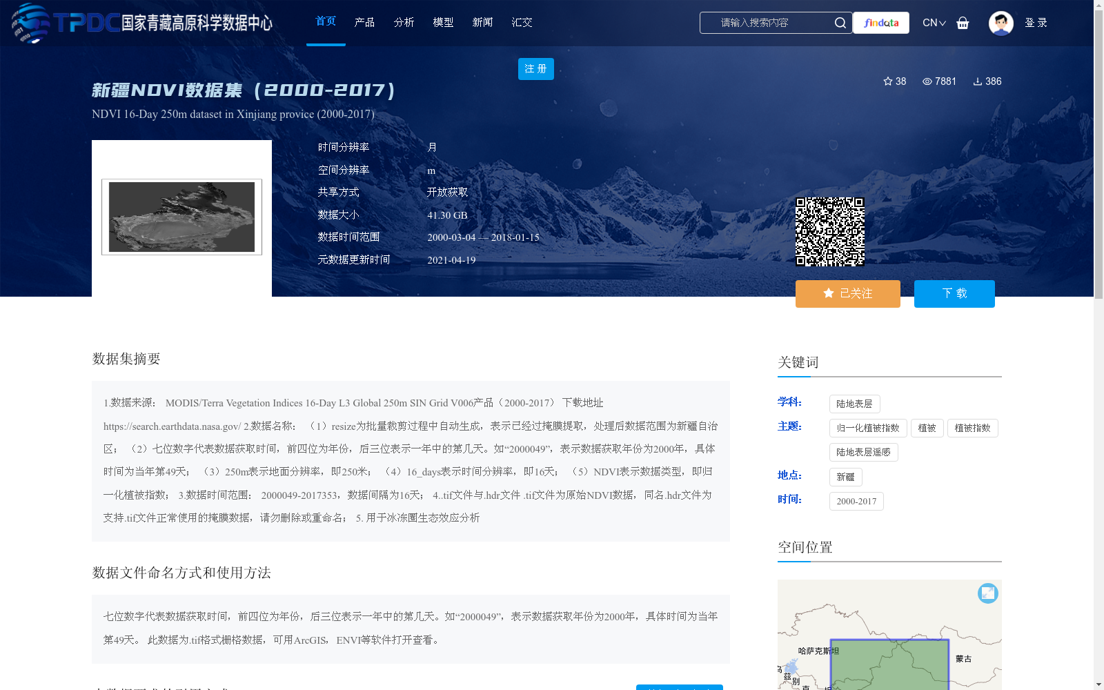
该数据集是新疆地区2000年至2017年的归一化植被指数(NDVI)数据,来源于MODIS/Terra卫星产品,具有250米空间分辨率和16天时间分辨率,总大小为41.30 GB,用于支持冰冻圈生态效应分析。数据以.tif格式提供,需配合.hdr掩膜文件使用,适用于ArcGIS或ENVI等地理信息系统软件处理。
以上内容由遇见数据集搜集并总结生成


