川藏交通廊道ALOS World 3D- 30m高程数据(2006)
收藏国家青藏高原科学数据中心2023-01-11 更新2024-03-01 收录
下载链接:
https://data.tpdc.ac.cn/zh-hans/data/ea4d0979-e11c-419c-b21e-8aa5d7645c3c
下载链接
链接失效反馈官方服务:
资源简介:
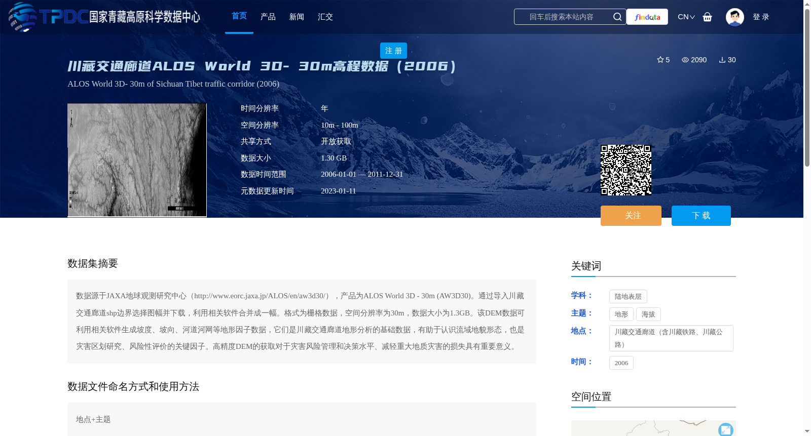
数据源于JAXA地球观测研究中心(http://www.eorc.jaxa.jp/ALOS/en/aw3d30/),产品为ALOS World 3D - 30m (AW3D30)。通过导入川藏交通廊道shp边界选择图幅并下载,利用相关软件合并成一幅。格式为栅格数据,空间分辨率为30m,数据大小为1.3GB。该DEM数据可利用相关软件生成坡度、坡向、河道河网等地形因子数据,它们是川藏交通廊道地形分析的基础数据,有助于认识流域地貌形态,也是灾害区划研究、风险性评价的关键因子。高精度DEM的获取对于灾害风险管理和决策水平、减轻重大地质灾害的损失具有重要意义。
The dataset originates from the Earth Observation Research Center of JAXA (http://www.eorc.jaxa.jp/ALOS/en/aw3d30/), with the product being ALOS World 3D - 30m (AW3D30). Map sheets were selected and downloaded by importing the shp boundary of the Sichuan-Tibet Transportation Corridor, then merged into a single raster dataset using relevant software. This is raster data with a spatial resolution of 30 meters and a total size of 1.3 GB. This Digital Elevation Model (DEM) data can be used to generate terrain factor data such as slope, aspect, river channels and drainage networks via relevant software. These terrain factors serve as fundamental data for topographic analysis of the Sichuan-Tibet Transportation Corridor, aiding in the understanding of watershed landform patterns, and are also key indicators for disaster zoning research and risk assessment. The acquisition of high-precision DEM data is of great significance for improving disaster risk management and decision-making capabilities, as well as reducing losses caused by major geological disasters.
提供机构:
眭天波
创建时间:
2021-06-25
搜集汇总
数据集介绍
背景与挑战
背景概述
该数据集是川藏交通廊道区域的ALOS World 3D-30m高程数据,覆盖时间范围从2006年至2011年,空间分辨率为30米,数据大小为1.3GB。它基于JAXA的AW3D30产品,通过合并图幅生成栅格格式,主要用于地形分析,可派生坡度、坡向等因子,是灾害风险评价和地貌研究的基础数据。
以上内容由遇见数据集搜集并总结生成


