台风路径产品图集(2000-2015)
收藏国家地球系统科学数据中心2016-05-10 更新2024-03-04 收录
下载链接:
https://www.geodata.cn/data/datadetails.html?dataguid=32188133051179&docId=34553
下载链接
链接失效反馈官方服务:
资源简介:
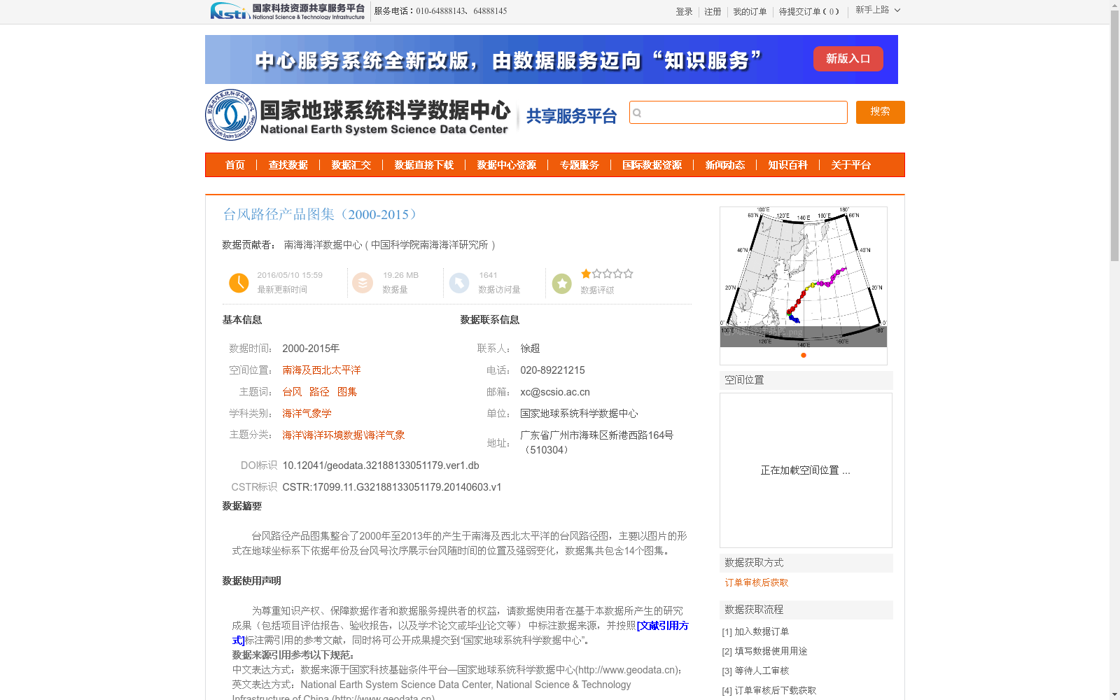
台风路径产品图集整合了2000年至2013年的产生于南海及西北太平洋的台风路径图,主要以图片的形式在地球坐标系下依据年份及台风号次序展示台风随时间的位置及强弱变化,数据集共包含14个图集。
The Typhoon Path Product Atlas integrates typhoon path maps generated in the South China Sea and the Northwest Pacific Ocean from 2000 to 2013. It mainly displays the temporal changes in the position and intensity of typhoons in the Earth's coordinate system, presented in image form and ordered by year and typhoon serial number. This dataset contains a total of 14 atlases.
提供机构:
中国科学院南海海洋研究所
创建时间:
2014-06-03
搜集汇总
数据集介绍
背景与挑战
背景概述
该数据集整合了2000-2015年南海及西北太平洋的台风路径图,以图片形式展示台风位置及强弱变化,共包含14个图集,数据质量可靠,适用于海洋气象学研究和防灾减灾。
以上内容由遇见数据集搜集并总结生成


