青藏高原大于50 km²湖泊的逐年面积数据集(1986-2020)
收藏国家青藏高原科学数据中心2024-01-09 更新2024-03-06 收录
下载链接:
https://data.tpdc.ac.cn/zh-hans/data/676e929b-1020-4735-a223-2805df1b2bf2
下载链接
链接失效反馈官方服务:
资源简介:
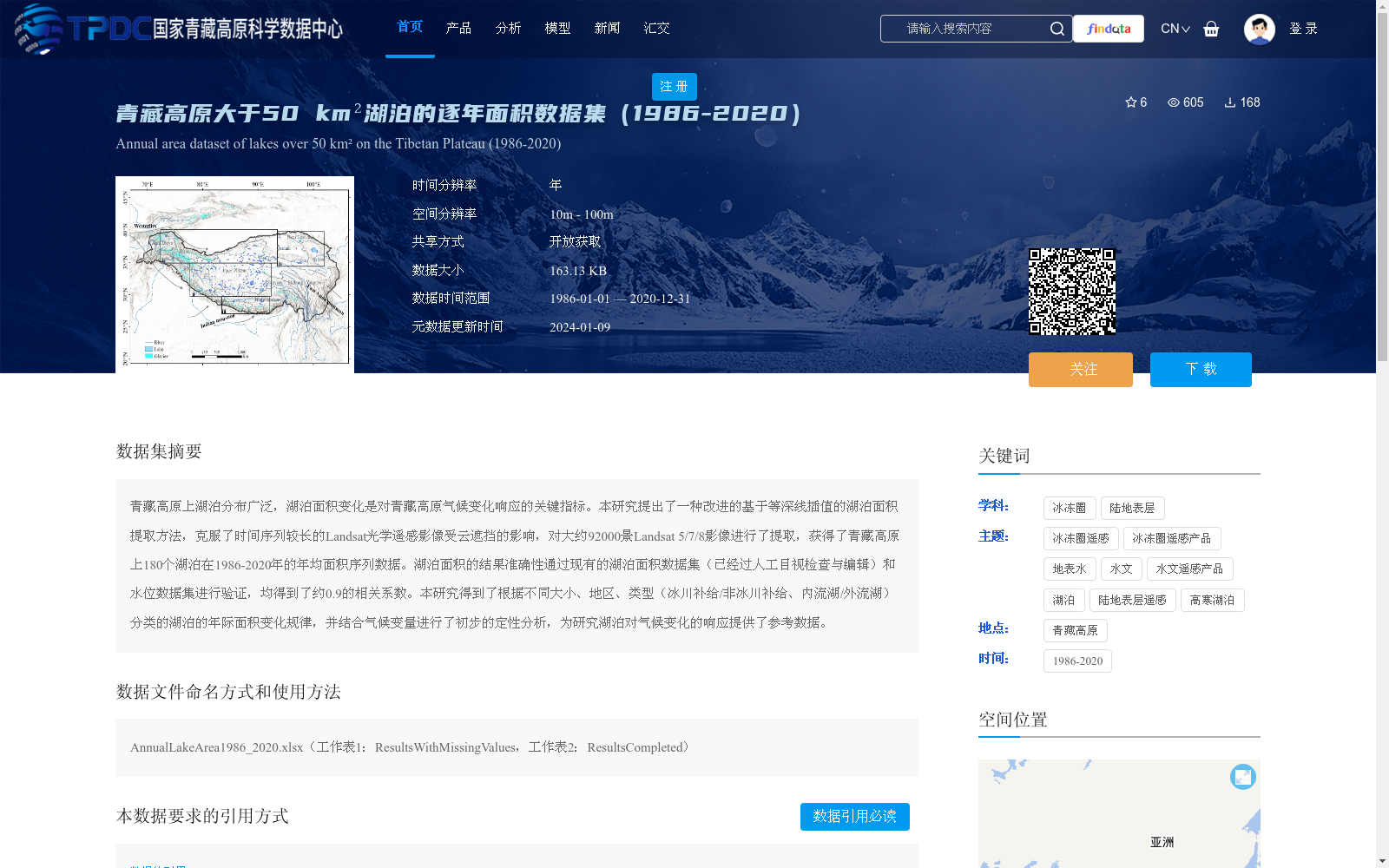
青藏高原上湖泊分布广泛,湖泊面积变化是对青藏高原气候变化响应的关键指标。本研究提出了一种改进的基于等深线插值的湖泊面积提取方法,克服了时间序列较长的Landsat光学遥感影像受云遮挡的影响,对大约92000景Landsat 5/7/8影像进行了提取,获得了青藏高原上180个湖泊在1986-2020年的年均面积序列数据。湖泊面积的结果准确性通过现有的湖泊面积数据集(已经过人工目视检查与编辑)和水位数据集进行验证,均得到了约0.9的相关系数。本研究得到了根据不同大小、地区、类型(冰川补给/非冰川补给、内流湖/外流湖)分类的湖泊的年际面积变化规律,并结合气候变量进行了初步的定性分析,为研究湖泊对气候变化的响应提供了参考数据。
Lakes are widely distributed across the Tibetan Plateau, and variations in lake area serve as a critical indicator of the Plateau’s response to climate change. This study presents an improved lake area extraction method based on isobath interpolation, which effectively addresses the interference caused by cloud occlusion in long time-series Landsat optical remote sensing images. By processing approximately 92,000 scenes of Landsat 5, 7, and 8 images with this method, we acquired annual average area time-series datasets for 180 lakes on the Tibetan Plateau covering the period from 1986 to 2020. The accuracy of the extracted lake area results was validated against two existing datasets: a lake area dataset that has undergone manual visual inspection and editing, and a water level dataset, with correlation coefficients of approximately 0.9 obtained for both validation approaches. This study identified interannual area change patterns of lakes categorized by their size, geographic region, and type (glacier-fed vs. non-glacier-fed, endorheic vs. exorheic lakes), and performed a preliminary qualitative analysis combined with climatic variables. The resulting datasets offer valuable reference data for studies investigating lake responses to climate change.
提供机构:
王鑫蕊,晋锐
创建时间:
2023-11-29
搜集汇总
数据集介绍
背景与挑战
背景概述
该数据集提供了青藏高原上面积大于50平方公里的180个湖泊在1986年至2020年间的逐年面积序列数据,基于改进的等深线插值方法处理了大量Landsat影像,克服了云遮挡影响,数据准确性通过验证(相关系数约0.9)。数据集还包含湖泊按大小、地区和类型(如冰川补给/非冰川补给)的分类信息,并结合气候变量进行了初步分析,为研究湖泊对气候变化的响应提供了关键参考。
以上内容由遇见数据集搜集并总结生成


