青藏高原逐年500米分辨率植被图(2000-2022)
收藏国家青藏高原科学数据中心2025-03-03 更新2025-03-15 收录
下载链接:
https://data.tpdc.ac.cn/zh-hans/data/6304c1a4-efc0-4766-bae3-4148bdf7bcfd
下载链接
链接失效反馈官方服务:
资源简介:
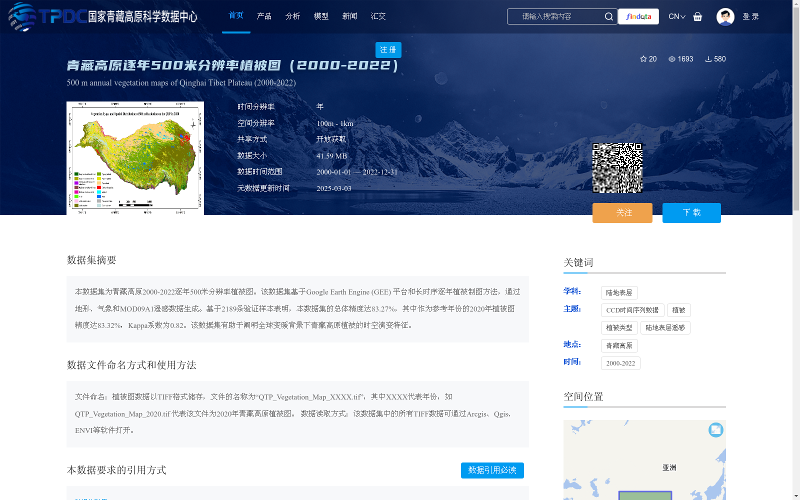
本数据集为青藏高原2000-2022逐年500米分辨率植被图。该数据集基于Google Earth Engine (GEE) 平台和长时序逐年植被制图方法,通过地形、气象和MOD09A1遥感数据生成。基于2189条验证样本表明,本数据集的总体精度达83.27%,其中作为参考年份的2020年植被图精度达83.32%,Kappa系数为0.82。该数据集有助于阐明全球变暖背景下青藏高原植被的时空演变特征。
This dataset is a yearly 500-meter resolution vegetation map of the Qinghai-Tibet Plateau spanning from 2000 to 2022. It is developed based on the Google Earth Engine (GEE) platform and long-time-series annual vegetation mapping methods, using topographic, meteorological and MOD09A1 remote sensing data. Based on 2189 validation samples, the overall accuracy of this dataset reaches 83.27%. Specifically, the vegetation map for the reference year 2020 achieves an accuracy of 83.32% with a Kappa coefficient of 0.82. This dataset helps clarify the spatiotemporal evolution characteristics of vegetation on the Qinghai-Tibet Plateau under the background of global warming.
提供机构:
任鸿瑞,周广胜,张磊,吕晓敏,周梦子
创建时间:
2024-05-14
搜集汇总
数据集介绍
背景与挑战
背景概述
该数据集提供了青藏高原2000-2022年逐年500米分辨率的植被图,基于Google Earth Engine平台和多种数据源生成,总体精度达83.27%,适用于植被时空演变研究。数据以TIFF格式存储,兼容常见GIS软件。
以上内容由遇见数据集搜集并总结生成


