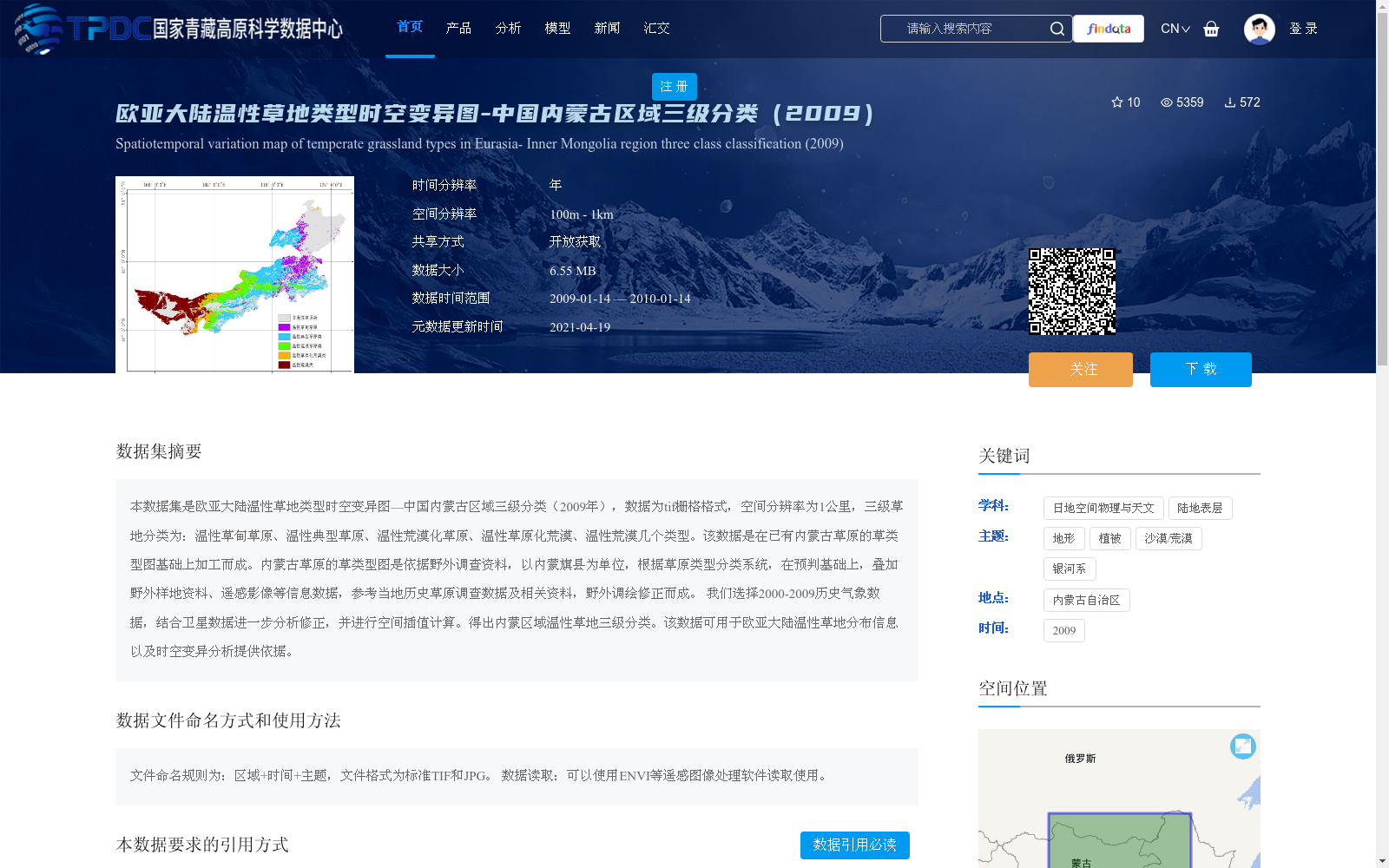
欧亚大陆温性草地类型时空变异图-中国内蒙古区域三级分类(2009)
收藏资源简介:
本数据集是欧亚大陆温性草地类型时空变异图—中国内蒙古区域三级分类(2009年),数据为tif栅格格式,空间分辨率为1公里,三级草地分类为:温性草甸草原、温性典型草原、温性荒漠化草原、温性草原化荒漠、温性荒漠几个类型。该数据是在已有内蒙古草原的草类型图基础上加工而成。内蒙古草原的草类型图是依据野外调查资料,以内蒙旗县为单位,根据草原类型分类系统,在预判基础上,叠加野外样地资料、遥感影像等信息数据,参考当地历史草原调查数据及相关资料,野外调绘修正而成。 我们选择2000-2009历史气象数据,结合卫星数据进一步分析修正,并进行空间插值计算。得出内蒙区域温性草地三级分类。该数据可用于欧亚大陆温性草地分布信息以及时空变异分析提供依据。
Spatiotemporal Variation Map of Temperate Grassland Types in Eurasia—Three-level Classification of Inner Mongolia Region, China (2009). The data is in TIFF raster format, with a spatial resolution of 1 km. The three-level grassland classification includes temperate meadow steppe, temperate typical steppe, temperate desertified steppe, temperate steppe desert, and temperate desert. This dataset was developed based on the existing grassland type map of Inner Mongolia. The original grassland type map of Inner Mongolia was compiled based on field survey data, taking Inner Mongolia's banners and counties as mapping units. Following the grassland type classification system, it was initially interpreted, then integrated with field plot data, remote sensing images and other information, and revised via field survey and mapping with reference to local historical grassland survey data and relevant materials. We selected historical meteorological data from 2000 to 2009, combined with satellite data for further analysis and revision, and conducted spatial interpolation calculations to derive the three-level classification of temperate grasslands in the Inner Mongolia region. This dataset can provide a basis for analyzing the distribution information and spatiotemporal variation of temperate grasslands in Eurasia.