River ice dataset for the Yenisei River
收藏Mendeley Data2024-01-31 更新2024-06-27 收录
下载链接:
https://www.scidb.cn/en/detail?dataSetId=8e72d0e72e154088a2a1f3371c06d73a
下载链接
链接失效反馈官方服务:
资源简介:
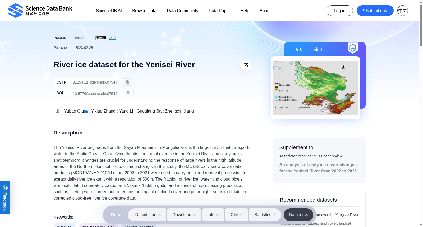
The Yenisei River originates from the Sayan Mountains in Mongolia and is the largest river that transports water to the Arctic Ocean. Quantifying the distribution of river ice in the Yenisei River and studying its spatiotemporal changes are crucial for understanding the response of large rivers in the high latitude areas of the Northern Hemisphere to climate change. In this study, the MODIS daily snow cover data products (MOD10A1/MYD10A1) from 2002 to 2021 were used to carry out cloud removal processing to extract daily river ice extent with a resolution of 500m. The fraction of river ice, water and cloud pixels were calculated separately based on 12.5km × 12.5km grids, and a series of reprocessing processes such as filtering were carried out to reduce the impact of cloud cover and polar night, so as to obtain the corrected cloud-free river ice coverage data.
创建时间:
2024-01-31
搜集汇总
数据集介绍
背景与挑战
背景概述
该数据集提供了2002年至2021年叶尼塞河每日河冰范围的遥感数据,分辨率为500米,旨在研究高纬度地区大河流对气候变化的响应。数据集经过云去除和网格化处理,减少了云覆盖和极夜的影响,适用于河冰时空变化分析。
以上内容由遇见数据集搜集并总结生成


