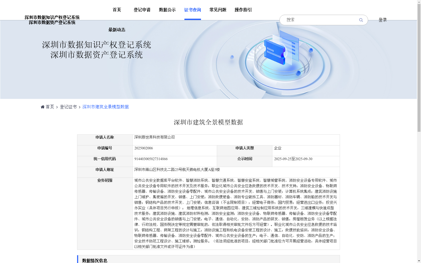
深圳市建筑全景模型数据
收藏资源简介:
城市规划部门可基于实景模型进行空间分析与方案模拟;消防应急能提前熟悉建筑周边通道与设施,提升救援效率;文旅平台可嵌入沉浸式街景,实现线上导览与景点推广;房地产行业可提供720°看房与周边环境展示;导航应用可补充实景路口提示,减少误判。此外,还可用于环境评估、市政管理、商业选址等,全面推动城市数字化与智能化升级。
Urban planning departments can carry out spatial analysis and scheme simulation using real-scene models. Fire emergency response teams can pre-familiarize themselves with passages and facilities around buildings to enhance rescue efficiency. Cultural and tourism platforms can integrate immersive street views to facilitate online tours and scenic spot promotion. The real estate industry can provide 720° house viewing and surrounding environment displays. Navigation applications can supplement real-scene intersection prompts to reduce misjudgments. Furthermore, this dataset can be applied to scenarios including environmental assessment, municipal management, commercial site selection and more, comprehensively driving the digital and intelligent upgrading of cities.