
CAS Landslide Dataset: A Large-Scale and Multisensor Dataset for Deep Learning-Based Landslide Detection
收藏Mendeley Data2024-05-10 更新2024-06-27 收录
下载链接:
https://zenodo.org/records/10294997
下载链接
链接失效反馈官方服务:
资源简介:
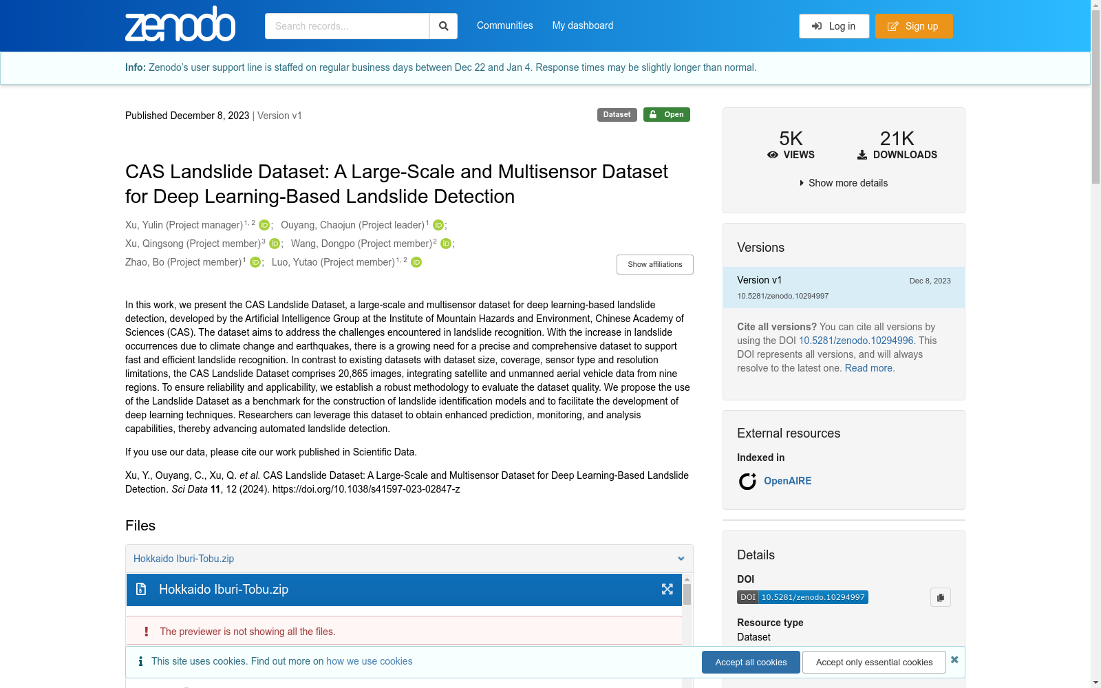
In this work, we present the CAS Landslide Dataset, a large-scale and multisensor dataset for deep learning-based landslide detection, developed by the Artificial Intelligence Group at the Institute of Mountain Hazards and Environment, Chinese Academy of Sciences (CAS). The dataset aims to address the challenges encountered in landslide recognition. With the increase in landslide occurrences due to climate change and earthquakes, there is a growing need for a precise and comprehensive dataset to support fast and efficient landslide recognition. In contrast to existing datasets with dataset size, coverage, sensor type and resolution limitations, the CAS Landslide Dataset comprises 20,865 images, integrating satellite and unmanned aerial vehicle data from nine regions. To ensure reliability and applicability, we establish a robust methodology to evaluate the dataset quality. We propose the use of the Landslide Dataset as a benchmark for the construction of landslide identification models and to facilitate the development of deep learning techniques. Researchers can leverage this dataset to obtain enhanced prediction, monitoring, and analysis capabilities, thereby advancing automated landslide detection. If you use our data, please cite our work published in Scientific Data. Xu, Y., Ouyang, C., Xu, Q. et al. CAS Landslide Dataset: A Large-Scale and Multisensor Dataset for Deep Learning-Based Landslide Detection. Sci Data 11, 12 (2024). https://doi.org/10.1038/s41597-023-02847-z
本研究提出了CAS滑坡数据集(CAS Landslide Dataset),这是一款面向深度学习滑坡检测任务的大规模多传感器数据集,由中国科学院山地灾害与环境研究所人工智能团队研发。该数据集旨在解决滑坡识别领域现存的诸多挑战。随着气候变化与地震活动加剧导致滑坡事件频发,业界对于精准且全面的数据集的需求日益增长,以支撑快速高效的滑坡识别工作。与现有数据集存在的规模、覆盖范围、传感器类型及分辨率方面的局限不同,本数据集共包含20865张图像,整合了来自9个区域的卫星与无人机(Unmanned Aerial Vehicle, UAV)数据。为保障数据集的可靠性与适用性,本研究构建了一套严谨的评估方法以检验数据集质量。本研究提出将该滑坡数据集作为滑坡识别模型构建的基准数据集,以推动深度学习技术在该领域的发展。研究人员可借助该数据集获得更优异的预测、监测与分析能力,进而推动自动化滑坡检测技术的进步。若您使用本数据集,请引用发表于《Scientific Data》的相关论文:Xu Y, Ouyang C, Xu Q 等. CAS滑坡数据集:一款面向深度学习滑坡检测的大规模多传感器数据集. Sci Data 11, 12 (2024). https://doi.org/10.1038/s41597-023-02847-z
创建时间:
2023-12-10
搜集汇总
数据集介绍
背景与挑战
背景概述
CAS滑坡数据集是一个大规模多传感器数据集,专为基于深度学习的滑坡检测设计,包含20,865张图像,整合了来自九个区域的卫星和无人机数据。该数据集由中国科学院山地灾害与环境研究所开发,旨在解决滑坡识别中的挑战,并作为滑坡检测模型的基准,以支持快速高效的滑坡识别和分析。
以上内容由遇见数据集搜集并总结生成



