珠峰南北坡对比数据集
收藏国家青藏高原科学数据中心2025-03-10 更新2025-04-19 收录
下载链接:
https://data.tpdc.ac.cn/zh-hans/data/39229702-1690-4521-8dbb-8be2833747d6
下载链接
链接失效反馈官方服务:
资源简介:
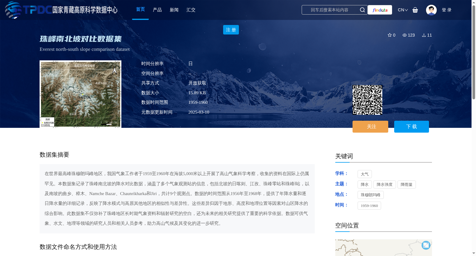
在世界最高峰珠穆朗玛峰地区,我国气象工作者于1959至1960年在海拔5,000米以上开展了高山气象科学考察,收集的资料在国际上仍属罕见。本数据集记录了珠峰南北坡的降水对比数据,涵盖了多个气象观测站的信息,包括北坡的日喀则、江孜、珠峰零站和珠峰Ⅰ站,以及南坡的曲乡、樟木、Namche Bazar、Chaunrikharka和Jiri,共计9个观测点。数据的时间范围从1956年至1968年,提供了年降水量和逐日降水量的详细记录,反映了降水模式与高原其他地区的相似性与差异性。这些差异归因于地形、高度和地理位置等因素对山区降水的综合影响。此数据集不仅弥补了珠峰地区长时期气象资料和辐射研究的空白,还为未来的相关研究提供了重要的科学依据。数据可供气象、水文、地理等领域的研究人员和相关人员参考,助力高山气候及其变化的进一步研究。
In the region of Mount Qomolangma, the world's highest peak, Chinese meteorological researchers conducted an alpine meteorological scientific expedition at elevations above 5,000 meters from 1959 to 1960, and the collected data remains rare internationally. This dataset records precipitation comparison data for the north and south slopes of Mount Qomolangma, covering information from nine meteorological observatories: Xigaze, Gyangze, Qomolangma Zero Station, and Qomolangma Station I on the north slope, as well as Quxiang, Zhangmu, Namche Bazar, Chaunrikharka, and Jiri on the south slope. The temporal coverage of the dataset spans from 1956 to 1968, with detailed records of annual and daily precipitation, which reflect the similarities and differences in precipitation patterns compared with other regions of the Tibetan Plateau. These differences are attributed to the combined impacts of factors including topography, elevation, and geographical location on mountainous precipitation. This dataset not only fills the gaps in long-term meteorological data and radiation research in the Mount Qomolangma region, but also provides critical scientific foundations for future relevant studies. The dataset is accessible for reference by researchers and relevant practitioners in the fields of meteorology, hydrology, geography and other related disciplines, supporting further research on alpine climate and its variations.
提供机构:
中国科学院西藏科学考察队,沈志宝
创建时间:
2022-05-31
搜集汇总
数据集介绍
背景与挑战
背景概述
该数据集记录了1959至1960年珠穆朗玛峰南北坡9个观测点的降水对比数据,包括年降水量和逐日降水量,以Excel格式存储,为高山气候研究提供了重要科学依据。
以上内容由遇见数据集搜集并总结生成


