西南山区青木关流域土壤温湿度观测数据集(2020-2022)
收藏国家青藏高原科学数据中心2023-07-14 更新2024-04-26 收录
下载链接:
https://data.tpdc.ac.cn/zh-hans/data/7d452366-69a4-4966-9d9e-7d32c8efd31c
下载链接
链接失效反馈官方服务:
资源简介:
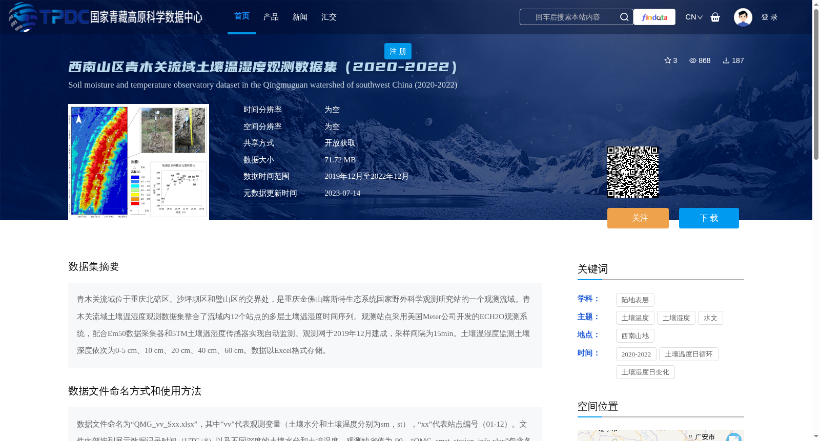
青木关流域位于重庆北碚区、沙坪坝区和璧山区的交界处,是重庆金佛山喀斯特生态系统国家野外科学观测研究站的一个观测流域。青木关流域土壤温湿度观测数据集整合了流域内12个站点的多层土壤温湿度时间序列。观测站点采用美国Meter公司开发的ECH2O观测系统,配合Em50数据采集器和5TM土壤温湿度传感器实现自动监测。观测网于2019年12月建成,采样间隔为15min。土壤温湿度监测土壤深度依次为0-5 cm、10 cm、20 cm、40 cm、60 cm。数据以Excel格式存储。
The Qingmuguan Basin, situated at the junction of Beibei District, Shapingba District and Bishan District of Chongqing, is an observation basin affiliated with the National Field Scientific Observation and Research Station for Karst Ecosystem of Jinfoshan, Chongqing. The Qingmuguan Basin Soil Temperature and Moisture Observation Dataset integrates multi-layer soil temperature and moisture time series collected from 12 stations within the basin. The observation stations adopt the ECH2O observation system developed by Meter, Inc. of the United States, paired with Em50 data loggers and 5TM soil temperature and moisture sensors to perform automatic monitoring. The observation network was established in December 2019, with a sampling interval of 15 minutes. The monitored soil depths for soil temperature and moisture are 0-5 cm, 10 cm, 20 cm, 40 cm and 60 cm in sequential order. The dataset is stored in Excel format.
提供机构:
赵龙
创建时间:
2023-07-06
搜集汇总
数据集介绍
背景与挑战
背景概述
该数据集提供了2020-2022年间西南山区青木关流域12个站点的多层土壤温湿度观测数据,采用自动监测系统,采样间隔为15分钟,数据格式为Excel。数据集覆盖了不同深度的土壤温湿度信息,适用于土壤水文和气候变化研究。
以上内容由遇见数据集搜集并总结生成


