九寨沟西番沟泥石流DOM数据(2019-2021)
收藏国家青藏高原科学数据中心2022-02-15 更新2024-03-07 收录
下载链接:
https://data.tpdc.ac.cn/zh-hans/data/019d949c-dd76-4b1f-be4d-59b4d2a7e723
下载链接
链接失效反馈官方服务:
资源简介:
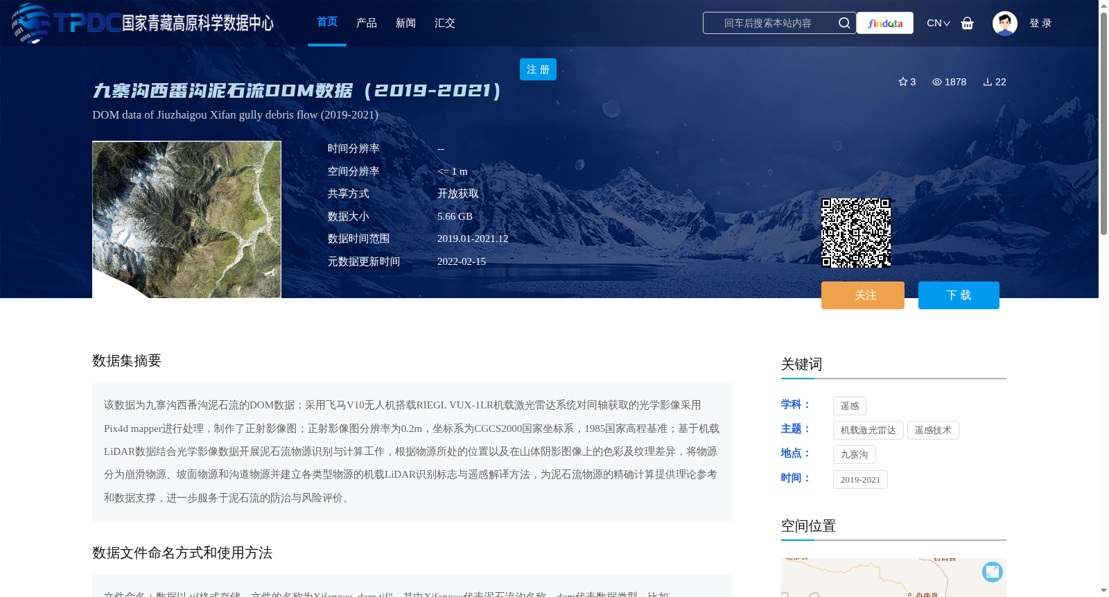
该数据为九寨沟西番沟泥石流的DOM数据;采用飞马V10无人机搭载RIEGL VUX-1LR机载激光雷达系统对同轴获取的光学影像采用Pix4d mapper进行处理,制作了正射影像图;正射影像图分辨率为0.2m,坐标系为CGCS2000国家坐标系,1985国家高程基准;基于机载LiDAR数据结合光学影像数据开展泥石流物源识别与计算工作,根据物源所处的位置以及在山体阴影图像上的色彩及纹理差异,将物源分为崩滑物源、坡面物源和沟道物源并建立各类型物源的机载LiDAR识别标志与遥感解译方法,为泥石流物源的精确计算提供理论参考和数据支撑,进一步服务于泥石流的防治与风险评价。
This dataset comprises the DOM (Digital Orthophoto Map) data for the debris flow in Xifan Gully, Jiuzhaigou. Co-axially acquired optical images were collected using a Pegasus V10 UAV equipped with a RIEGL VUX-1LR airborne LiDAR system, then processed with Pix4D Mapper to generate the orthophoto map, which has a spatial resolution of 0.2 m and uses the CGCS2000 national geodetic coordinate system and the 1985 National Height Datum. Based on the integrated airborne LiDAR and optical image data, debris flow source identification and quantification were carried out. According to the sources' locations and their differences in color and texture on hillshade images, the debris flow sources are classified into three categories: collapse-slide sources, slope sources and gully sources. Meanwhile, airborne LiDAR identification criteria and remote sensing interpretation methods for each type of source are established, providing theoretical references and data support for the accurate quantification of debris flow sources, and further supporting debris flow prevention, control and risk assessment.
提供机构:
董秀军
创建时间:
2022-02-15
搜集汇总
数据集介绍
背景与挑战
背景概述
该数据集包含2019至2021年九寨沟西番沟泥石流的DOM数据,空间分辨率高达0.2米,采用无人机搭载激光雷达系统采集,主要用于泥石流物源识别与计算,支持泥石流防治与风险评价研究。数据以开放获取方式共享,大小为5.66 GB。
以上内容由遇见数据集搜集并总结生成


