土壤相对湿度干旱指数数据集(2014-2015年)
收藏国家青藏高原科学数据中心2021-04-19 更新2024-03-06 收录
下载链接:
https://data.tpdc.ac.cn/zh-hans/data/7cbefbce-b57f-4713-a554-e9e9a325bb16
下载链接
链接失效反馈官方服务:
资源简介:
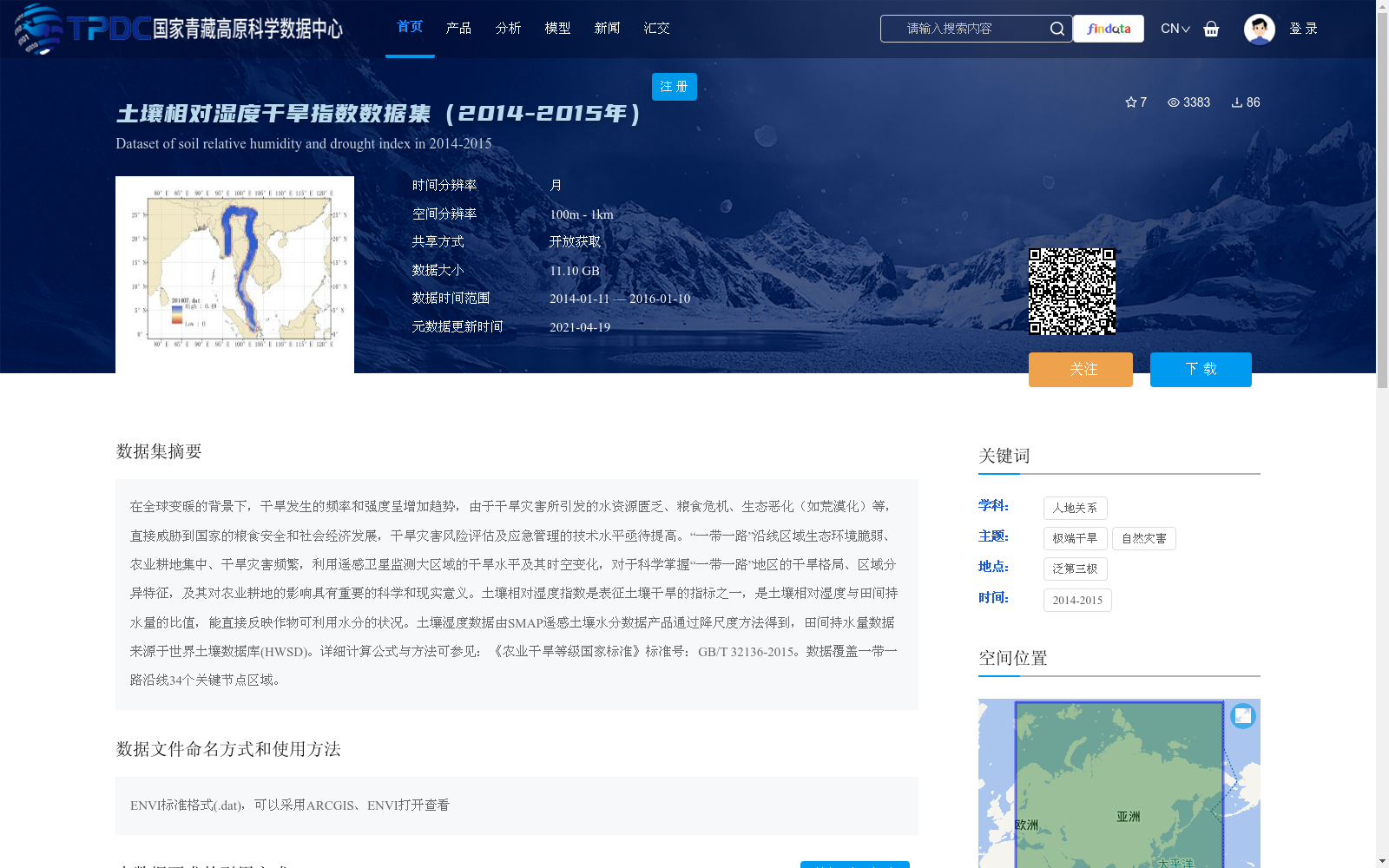
在全球变暖的背景下,干旱发生的频率和强度呈增加趋势,由于干旱灾害所引发的水资源匮乏、粮食危机、生态恶化(如荒漠化)等,直接威胁到国家的粮食安全和社会经济发展,干旱灾害风险评估及应急管理的技术水平亟待提高。“一带一路”沿线区域生态环境脆弱、农业耕地集中、干旱灾害频繁,利用遥感卫星监测大区域的干旱水平及其时空变化,对于科学掌握“一带一路”地区的干旱格局、区域分异特征,及其对农业耕地的影响具有重要的科学和现实意义。土壤相对湿度指数是表征土壤干旱的指标之一,是土壤相对湿度与田间持水量的比值,能直接反映作物可利用水分的状况。土壤湿度数据由SMAP遥感土壤水分数据产品通过降尺度方法得到,田间持水量数据来源于世界土壤数据库(HWSD)。详细计算公式与方法可参见:《农业干旱等级国家标准》标准号:GB/T 32136-2015。数据覆盖一带一路沿线34个关键节点区域。
Against the backdrop of global warming, the frequency and intensity of drought events are on the rise. Drought-induced water scarcity, food crises, ecological degradation (such as desertification) and other issues directly threaten national food security and socio-economic development, so the technical level of drought disaster risk assessment and emergency management urgently needs improvement. The regions along the Belt and Road Initiative (BRI) are ecologically fragile, with concentrated agricultural croplands and frequent drought disasters. Using remote sensing satellites to monitor drought conditions and their spatiotemporal variations over large areas is of great scientific and practical significance for scientifically grasping the drought patterns, regional differentiation characteristics and their impacts on agricultural croplands in the BRI regions. The relative soil moisture index, one of the indicators characterizing soil drought, is the ratio of soil relative moisture to field capacity, which can directly reflect the status of water available to crops. Soil moisture data is obtained from the SMAP (Soil Moisture Active Passive) remote sensing soil moisture product via downscaling methods, while field capacity data is sourced from the Harmonized World Soil Database (HWSD). Detailed calculation formulas and methods can be referenced in the National Standard for Agricultural Drought Grades (Standard No. GB/T 32136-2015). This dataset covers 34 key node regions along the Belt and Road Initiative.
提供机构:
吴骅
创建时间:
2020-01-29
搜集汇总
数据集介绍
背景与挑战
背景概述
该数据集为2014年至2015年的土壤相对湿度干旱指数数据,时间分辨率为月,空间分辨率为100米至1公里,覆盖“一带一路”沿线34个关键节点区域,数据大小为11.10 GB。数据基于SMAP遥感土壤水分降尺度和世界土壤数据库计算,用于监测干旱时空变化,支持干旱灾害风险评估和农业影响分析,格式为ENVI标准格式,可开放获取。
以上内容由遇见数据集搜集并总结生成


