CAMUS_public-ImageMask-Dataset|医学图像分割数据集|心脏超声数据集
收藏github2024-02-05 更新2024-05-31 收录
下载链接:
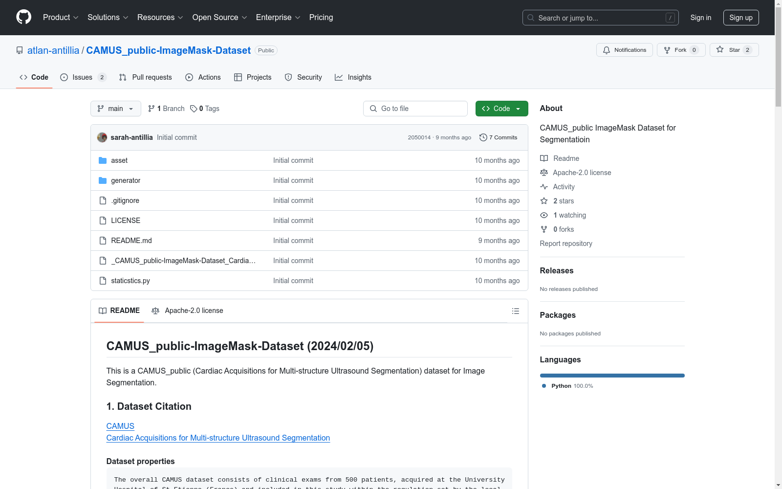
https://github.com/atlan-antillia/CAMUS_public-ImageMask-Dataset
下载链接
链接失效反馈资源简介:
这是一个用于图像分割的CAMUS_public(心脏多结构超声分割采集)数据集。该数据集包含来自500名患者的临床检查,这些检查在法国圣艾蒂安大学医院进行,并根据当地伦理委员会的规定进行了完全匿名化处理。数据集旨在执行左心室射血分数测量,并反映了临床实践中的数据多样性,包括图像质量和病理情况的广泛变异。数据集分为训练集(450名患者)和测试集(50名新患者),原始输入图像以raw/mhd文件格式提供。
This is a CAMUS_public (Cardiac Acquisitions for Multi-structure Ultrasound Segmentation) dataset designed for image segmentation. The dataset comprises clinical examinations from 500 patients conducted at the University Hospital of Saint-Étienne, France, and has been fully anonymized in accordance with the local ethics committee regulations. The dataset is intended for performing left ventricular ejection fraction measurements and reflects the diversity of data in clinical practice, including a wide variation in image quality and pathological conditions. The dataset is divided into a training set (450 patients) and a test set (50 new patients), with the original input images provided in raw/mhd file format.
创建时间:
2024-02-05
原始信息汇总
数据集概述
数据集名称
CAMUS_public-ImageMask-Dataset
数据集描述
CAMUS_public (Cardiac Acquisitions for Multi-structure Ultrasound Segmentation) 数据集,用于图像分割。该数据集包含来自500名患者的临床检查数据,这些数据在法国圣艾蒂安大学医院获得,并根据医院伦理委员会的规定进行了完全匿名化处理。数据集旨在执行左心室射血分数测量,未进行预设条件或数据选择,以保持临床真实性。
数据集组成
- 训练集:包含450名患者及其对应的临床专家分析的手动参考。
- 测试集:包含50名新患者。
- 文件格式:原始输入图像以raw/mhd文件格式提供。
数据集结构
-
原始数据集结构:
./CAMUS_public ├─database_nifti │ ├─patient0001 │ ├─patient0002 │ ├─patient0003 │ ├─patient0004 │ ├─patient0005 │ ├─patient0006 │ ├─patient0007 │ ├─patient0008 │ ├─patient0009 │ ├─patient0010 ... │ ├─patient0499 │ └─patient0500 └─jupyter
每个患者文件夹包含两种类型的文件:*.nii.gz(图像)和_gt.nii.gz(掩码)。
-
处理后的数据集结构:
../CAMUS_public-ImageMask-Dataset ├─test │ ├─images │ └─masks ├─train │ ├─images │ └─masks └─valid ├─images └─masks
数据集下载
- 原始数据集下载链接:CAMUS_public
- 处理后的数据集下载链接:CAMUS_public-ImageMask-Dataset.zip
引用信息
- 论文:S. Leclerc, E. Smistad, J. Pedrosa, A. Ostvik, et al. "Deep Learning for Segmentation using an Open Large-Scale Dataset in 2D Echocardiography" in IEEE Transactions on Medical Imaging, vol. 38, no. 9, pp. 2198-2210, Sept. 2019.
- DOI:10.1109/TMI.2019.2900516
AI搜集汇总
数据集介绍

构建方式
CAMUS_public-ImageMask-Dataset的构建基于CAMUS数据库,该数据库包含来自500名患者的临床检查数据,这些数据在法国圣艾蒂安大学医院采集,并经过当地伦理委员会的监管和完全匿名化处理。数据集的构建过程包括从原始的.nii.gz文件中提取图像和相应的掩码,通过Python脚本CAMUSImageMaskDatasetGenerator.py将这些文件转换为512x512像素的jpg格式图像,并最终划分为训练集、测试集和验证集。
特点
CAMUS_public-ImageMask-Dataset的一个显著特点是其高度异质性,这反映了日常临床实践中数据的多样性。数据集涵盖了广泛的采集设置和病理案例,包括一些难以追踪的病例和部分不可见的图像区域。此外,数据集还包含了由于探头方向限制而无法遵循严格四腔视图的情况,从而产生了五腔视图的图像。
使用方法
使用CAMUS_public-ImageMask-Dataset时,用户首先需要从指定的Google Drive链接下载数据集压缩包。解压后,数据集被划分为训练、测试和验证三个子集,每个子集包含图像和相应的掩码文件。用户可以通过加载这些图像和掩码文件进行图像分割任务的训练和评估。为了确保数据的合法使用,用户在使用该数据集时必须引用相关的IEEE TMI期刊论文。
背景与挑战
背景概述
CAMUS_public-ImageMask-Dataset(心脏多结构超声分割数据集)是由法国圣艾蒂安大学医院与CREATIS实验室合作创建的,旨在推动心脏超声图像分割技术的发展。该数据集包含500名患者的临床检查数据,这些数据经过完全匿名化处理,并符合当地伦理委员会的规定。数据集的创建旨在优化左心室射血分数测量,未进行任何预处理或数据选择,因此包含了广泛的采集设置变异性和图像质量差异,反映了日常临床实践的真实情况。该数据集的发布对医学影像分析领域,特别是心脏超声图像的自动分割研究,具有重要意义。
当前挑战
CAMUS_public-ImageMask-Dataset在构建过程中面临多项挑战。首先,数据集包含了难以追踪的病例,这增加了数据处理的复杂性。其次,采集设置的广泛变异性导致图像质量的高度异质性,这对模型的鲁棒性提出了高要求。此外,部分患者的心脏壁在图像中不可见,以及探头方向推荐的四腔视图无法遵循而改为五腔视图,这些都增加了数据集的复杂性和多样性。这些挑战不仅影响了数据集的构建,也对后续的模型训练和验证提出了更高的要求,尤其是在处理临床实践中常见的图像质量和病理多样性问题时。
常用场景
经典使用场景
在心脏超声图像分割领域,CAMUS_public-ImageMask-Dataset 数据集以其丰富的临床数据和高质量的标注成为经典。该数据集广泛应用于深度学习模型的训练与验证,特别是在2D超声心动图的自动分割任务中。通过提供500名患者的临床检查数据,包括450名患者的训练集和50名患者的测试集,该数据集为研究人员提供了一个真实且多样化的数据环境,以开发和评估心脏结构分割算法。
衍生相关工作
CAMUS_public-ImageMask-Dataset 数据集的发布催生了大量相关研究工作。许多研究团队基于该数据集开发了新的深度学习模型,如卷积神经网络(CNN)和生成对抗网络(GAN),以提高心脏结构分割的准确性和鲁棒性。此外,该数据集还被用于多模态图像融合和跨模态学习研究,探索不同成像技术在心脏疾病诊断中的互补作用。这些研究不仅推动了心脏超声图像分析技术的发展,也为其他医学图像分析领域提供了宝贵的经验和方法。
数据集最近研究
最新研究方向
在心血管超声图像分割领域,CAMUS_public-ImageMask-Dataset因其丰富的临床数据和多样的病理情况,成为前沿研究的重要资源。该数据集不仅包含了500名患者的临床检查数据,还涵盖了多种图像质量和病理特征,模拟了真实的临床环境。近期研究主要集中在利用深度学习技术提升心脏结构分割的准确性和鲁棒性,特别是在处理图像质量差异和病理多样性方面。此外,该数据集还被用于开发和验证新的图像处理算法,以提高心脏功能评估的精确度,这对于心血管疾病的早期诊断和治疗具有重要意义。
以上内容由AI搜集并总结生成


