
Global Multi-Resolution Topography
收藏知名数据库2026-06-02 收录
数据链接:
官方服务:
资源简介:
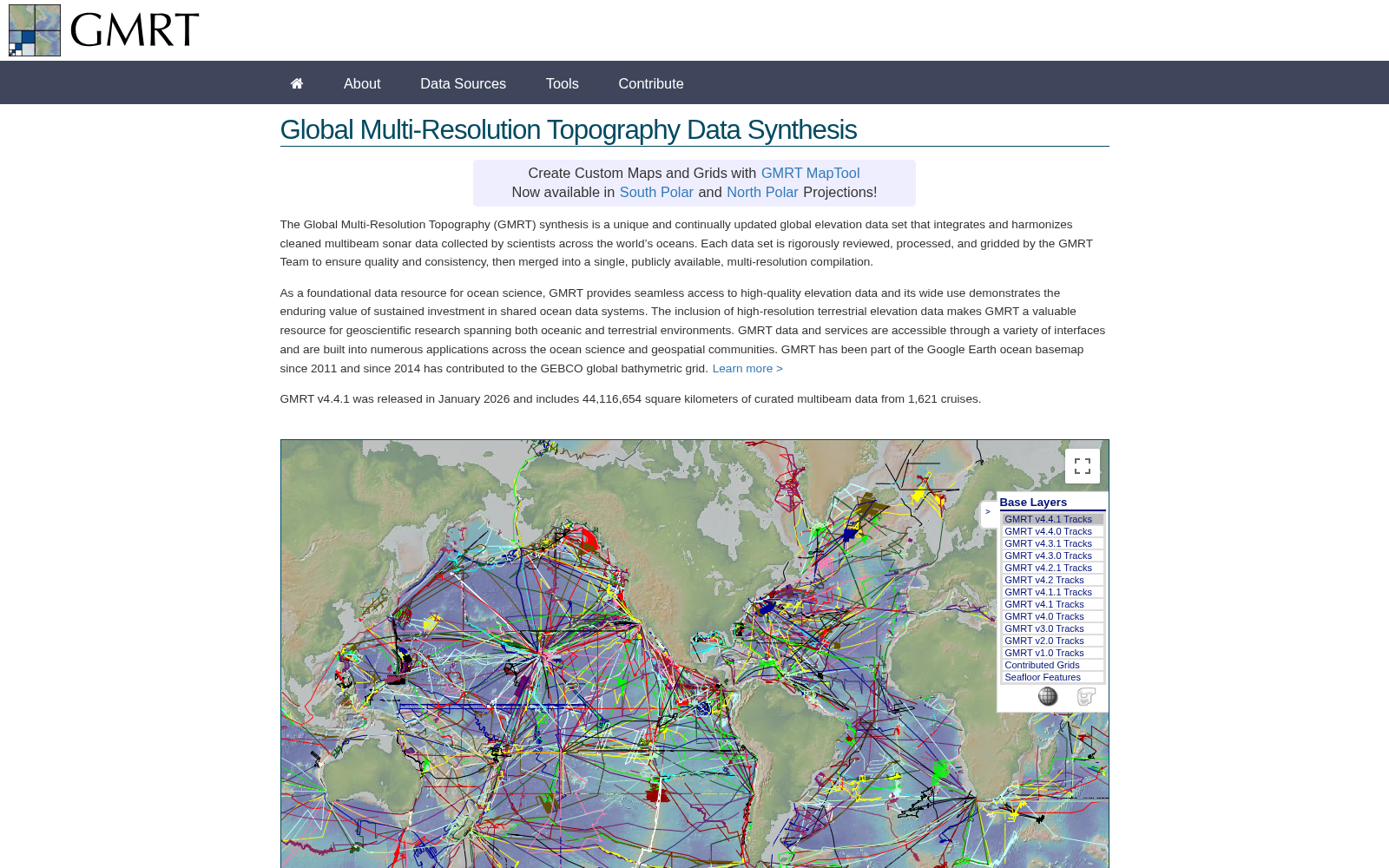
The Global Multi-Resolution Topography (GMRT) is a continually updated global elevation database that combines cleaned ship-based multibeam sonar and other elevation sources into a seamless, multi-resolution digital model of both the seafloor and land surface. It is curated, quality-controlled, and made freely available for scientific research and mapping applications.
全球多分辨率地形数据库(Global Multi-Resolution Topography, GMRT)是一套持续更新的全球高程数据库,它将经过清洗的船载多波束声呐数据与其他高程数据源整合为覆盖海底与陆地表面的无缝多分辨率数字模型。该数据库经过专业管护与严格质量控制,并面向科学研究与制图应用免费开放获取。
提供机构:
美国伍兹霍尔海洋研究所搜集汇总
数据集介绍
背景与挑战
背景概述
Global Multi-Resolution Topography (GMRT) 是一个持续更新的全球高程数据集,整合了经过质量控制和处理的全球海洋多波束声纳数据以及陆地高程数据,形成多分辨率的无缝数字模型。它作为海洋科学和地球科学研究的基础资源,提供高质量的高程数据访问,并广泛应用于科学研究和地图绘制。
以上内容由遇见数据集搜集并总结生成


