俄罗斯1:2000万冻土和地下冰分布图(1997)
收藏国家青藏高原科学数据中心2021-04-20 更新2024-02-29 收录
下载链接:
https://data.tpdc.ac.cn/zh-hans/data/312d713a-57e8-4721-afd9-0efe49b277b9
下载链接
链接失效反馈官方服务:
资源简介:
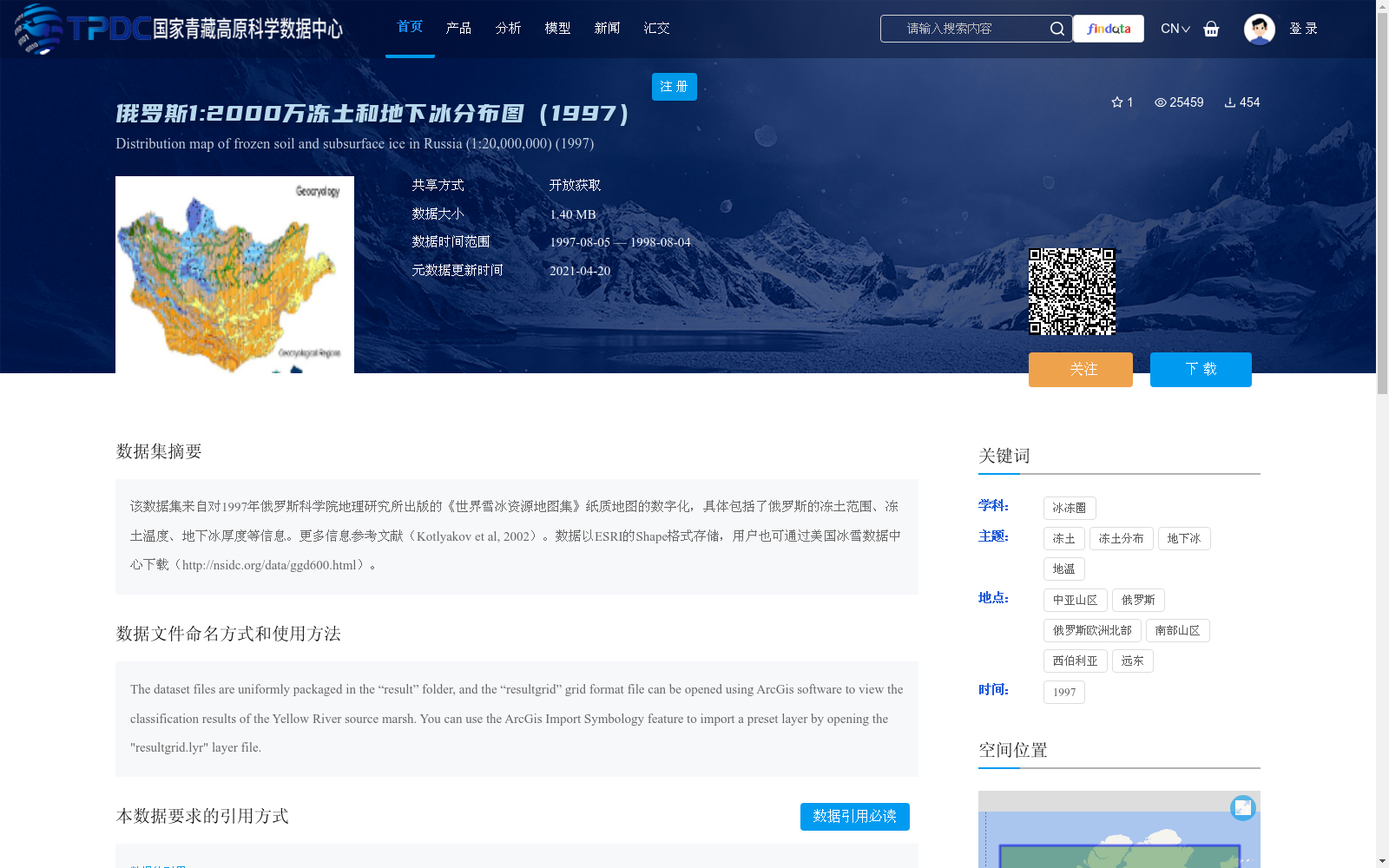
该数据集来自对1997年俄罗斯科学院地理研究所出版的《世界雪冰资源地图集》纸质地图的数字化,具体包括了俄罗斯的冻土范围、冻土温度、地下冰厚度等信息。更多信息参考文献(Kotlyakov et al, 2002)。数据以ESRI的Shape格式存储,用户也可通过美国冰雪数据中心下载(http://nsidc.org/data/ggd600.html)。
This dataset is derived from the digitization of the paper maps of the *Atlas of World Snow and Ice Resources* published by the Institute of Geography, Russian Academy of Sciences in 1997. It specifically includes information such as the permafrost extent, permafrost temperature, and subsurface ice thickness across Russia. Further details are available in the reference (Kotlyakov et al, 2002). The data is stored in ESRI Shapefile format, and users can also download it from the National Snow and Ice Data Center at http://nsidc.org/data/ggd600.html.
提供机构:
Tatiana Khromova,Victor Kotlyakov
创建时间:
2011-10-07
搜集汇总
数据集介绍
背景与挑战
背景概述
该数据集是1997年俄罗斯冻土和地下冰分布的数字化地图,比例尺为1:20,000,000,源自俄罗斯科学院地理研究所的纸质地图,包含冻土范围、温度和地下冰厚度等关键信息。数据以ESRI Shapefile格式存储,可通过国家青藏高原科学数据中心开放获取,适用于冰冻圈和冻土相关研究。
以上内容由遇见数据集搜集并总结生成


