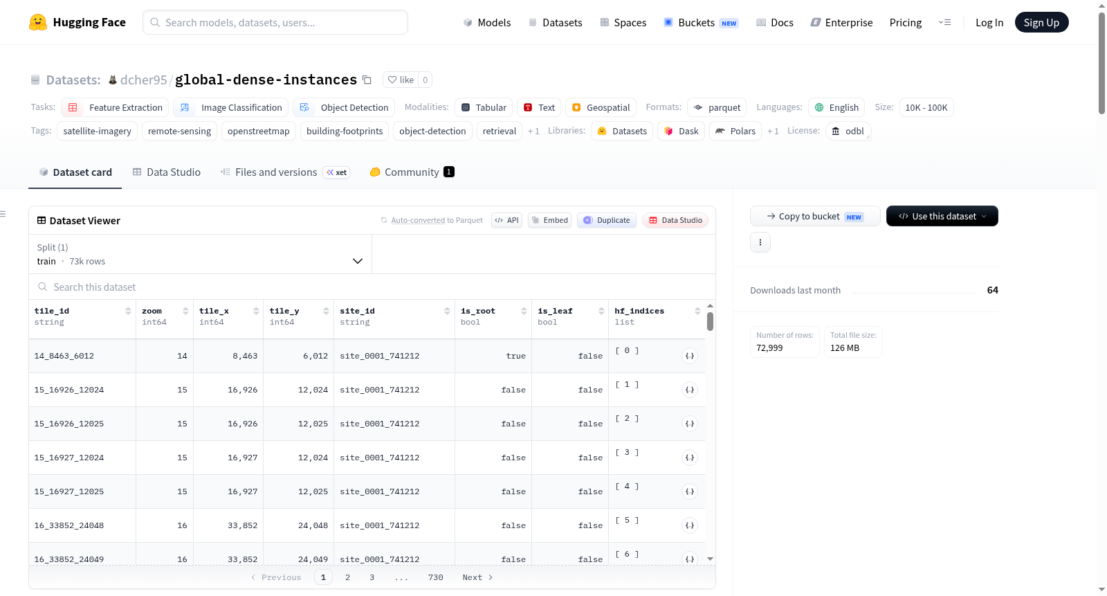
dcher95/global-dense-instances
收藏资源简介:
Global Dense Satellite — Instance Annotations (v1.0) 是一个全球卫星图像实例标注数据集,包含932,427个多边形级别的对象标注,覆盖275个分层站点,标注基于10-18级缩放级别的全球密集卫星图块。每个实例是一个多边形(建筑物轮廓或OSM区域特征),带有结构化的OpenStreetMap标签,并投影到其最深包含图块的像素坐标系中。这是一个仅包含标注的发布版本,卫星图像需从另一个数据集单独下载。数据集包含多种文件格式,如实例元数据、标签词汇表、站点索引等,适用于特征提取、图像分类和目标检测等任务。
Global Dense Satellite — Instance Annotations (v1.0) is a dataset of global satellite image instance annotations, containing 932,427 polygon-level object annotations across 275 hierarchical sites, anchored to global-dense-satellite satellite tiles at zoom levels 10-18. Each instance is a polygon (building footprint or OSM area feature) with structured OSM tags, projected into the pixel frame of its deepest containing tile. This is an annotations-only release — the satellite imagery must be downloaded separately from another dataset. The dataset includes various file formats such as instance metadata, tag vocabulary, site indices, etc., and is suitable for tasks like feature extraction, image classification, and object detection.