
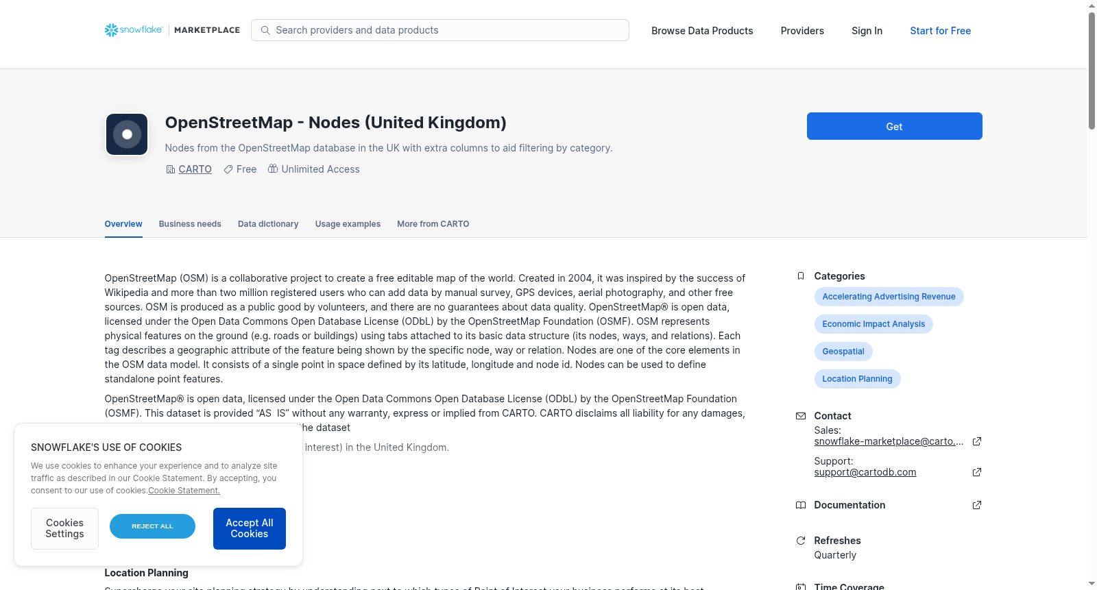
OpenStreetMap - Nodes (United Kingdom)
收藏Snowflake2021-11-17 更新2024-05-01 收录
下载链接:
https://app.snowflake.com/marketplace/listing/GZT0ZKUCHJ0
下载链接
链接失效反馈官方服务:
资源简介:
OpenStreetMap (OSM) is a collaborative project to create a free editable map of the world. Created in 2004, it was inspired by the success of Wikipedia and more than two million registered users who can add data by manual survey, GPS devices, aerial photography, and other free sources. OSM is produced as a public good by volunteers, and there are no guarantees about data quality. OpenStreetMap® is open data, licensed under the Open Data Commons Open Database License (ODbL) by the OpenStreetMap Foundation (OSMF). OSM represents physical features on the ground (e.g. roads or buildings) using tabs attached to its basic data structure (its nodes, ways, and relations). Each tag describes a geographic attribute of the feature being shown by the specific node, way or relation. Nodes are one of the core elements in the OSM data model. It consists of a single point in space defined by its latitude, longitude and node id. Nodes can be used to define standalone point features.
OpenStreetMap® is open data, licensed under the Open Data Commons Open Database License (ODbL) by the OpenStreetMap Foundation (OSMF). This dataset is provided “AS IS” without any warranty, express or implied from CARTO. CARTO disclaims all liability for any damages, direct or indirect, resulting from the use of the dataset
This list includes OSM Nodes (e.g. points of interest) in the United Kingdom.
Fields Included:
- Type of OSM map feature
You can check these datasets metadata and dictionary in CARTO’s Spatial Data Catalog:
https://carto.com/spatial-data-catalog/browser/dataset/osm_nodes_11b76f56/
Example Use Case:
Analyze next which type of Point of Interests your business performs best.
提供机构:
CARTO
创建时间:
2021-11-16
搜集汇总
数据集介绍
背景与挑战
背景概述
该数据集基于OpenStreetMap(OSM)项目,提供英国境内的节点数据,这些节点是OSM数据模型的核心元素,代表由经纬度和ID定义的空间点,用于表示兴趣点等独立特征。数据以开放许可(ODbL)提供,但无质量保证,仅供分析使用。
以上内容由遇见数据集搜集并总结生成



