青藏高原自然保护地分布数据
收藏国家青藏高原科学数据中心2025-05-18 更新2025-05-24 收录
下载链接:
https://data.tpdc.ac.cn/zh-hans/data/db56d2e7-3a83-413d-a8cf-5f217b1205cb
下载链接
链接失效反馈官方服务:
资源简介:
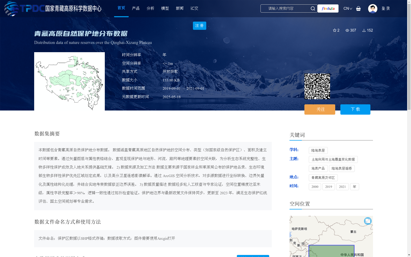
本数据包含青藏高原自然保护地分布数据。
数据涵盖青藏高原地区自然保护地的空间分布、类型(如国家级自然保护区)、面积及建立时间等要素。通过矢量图层与属性表格结合,直观呈现保护地与地形、河流、路网等地理要素的空间关联,为分析生态系统完整性、生物多样性保护成效及人地关系提供基础支撑。
2) 数据来源及加工方法
数据主要来源于国家林业和草原局公布的保护地名录、生态环境部生物多样性保护优先区域划定成果,以及高分卫星遥感影像解译。通过 ArcGIS 空间分析技术,对多源数据进行坐标转换、边界矢量化及属性结构化处理,并结合实地考察数据修正边界误差。
3) 数据质量描述
数据经多轮人工核查与专家论证,空间位置精度达亚米级,属性字段完整率>98%,逻辑一致性通过拓扑检查验证。保护地边界与最新政策文件保持同步,更新至 2023 年,满足生态保护红线评估、国土空间规划等专业需求。
This dataset provides distribution data of protected areas across the Qinghai-Tibet Plateau.
The dataset covers key attributes of protected areas in the region, including their spatial distribution, types (e.g., national nature reserves), area, and establishment date. By combining vector layers and attribute tables, it intuitively demonstrates the spatial correlations between protected areas and geographic elements such as terrain, rivers, and road networks, providing fundamental support for the analysis of ecosystem integrity, biodiversity conservation effectiveness, and human-land relationships.
2) Data Sources and Processing Methods
The data is mainly sourced from the protected area directory published by the National Forestry and Grassland Administration, the delimitation results of priority biodiversity conservation areas from the Ministry of Ecology and Environment, and the interpretation of high-resolution satellite remote sensing imagery. Leveraging ArcGIS spatial analysis technologies, coordinate conversion, boundary vectorization, and attribute structuring are conducted for multi-source datasets, and boundary errors are revised using on-site survey data.
3) Data Quality Description
The dataset has undergone multiple rounds of manual verification and expert review. Its spatial position accuracy reaches sub-meter level, the completeness rate of attribute fields exceeds 98%, and logical consistency is verified through topological checks. The boundaries of protected areas are synchronized with the latest policy documents, updated to 2023, meeting the professional requirements such as ecological protection red line assessment and territorial spatial planning.
提供机构:
苏旭坤
创建时间:
2025-05-15
搜集汇总
数据集介绍
背景与挑战
背景概述
该数据集提供了青藏高原自然保护地的详细分布信息,包括空间位置、类型和面积等,数据精度高且更新至2023年,适用于生态保护和国土规划等专业用途。
以上内容由遇见数据集搜集并总结生成


