南海诸岛数据库
收藏国家地球系统科学数据中心2017-04-11 更新2024-03-04 收录
下载链接:
https://www.geodata.cn/data/datadetails.html?dataguid=276280470871138&docId=29270
下载链接
链接失效反馈官方服务:
资源简介:
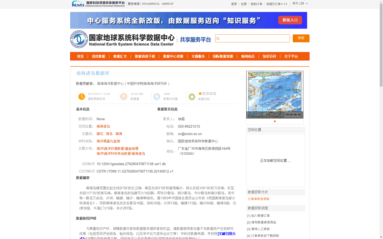
南海岛礁范围北起北纬2l°06’的北卫滩,南至北纬3°58’的曾母暗沙,西从东经109°36’的万安滩,东至东经117°50’的海马滩。南海诸岛的岛礁可分为四群,即东沙群岛、西沙群岛、中沙群岛和南沙群岛。其中每一群岛又由岛、沙洲、暗礁、暗沙、暗滩等组成。
据1983年中国地名委员会公布的《我国南海诸岛部分标准地名》,目前南海诸岛共定名群岛16座,岛屿35座,沙洲13座,暗礁113座,暗沙60座,暗滩3l座,石(岩)6座.水道(门)13座,共计287座。
The geographical scope of the South China Sea islands and reefs ranges from Beiwei Tan (North Sentinel Bank) at 21°06' North Latitude in the north to Zengmu Ansha (James Shoal) at 3°58' North Latitude in the south, and from Wan'an Tan (Wan'an Bank) at 109°36' East Longitude in the west to Haima Tan (Haima Shoal) at 117°50' East Longitude in the east.
The South China Sea islands and reefs are divided into four archipelagos: the Dongsha Islands, Xisha Islands, Zhongsha Islands, and Nansha Islands. Each archipelago is composed of islands, sand cays, submerged reefs, submerged shoals, submerged banks, and other geomorphic features.
According to the *Standard Place Names of Some Islands and Reefs in the South China Sea* published by the China Committee on Geographic Names in 1983, a total of 287 officially named geographic entities have been recorded for the South China Sea islands and reefs, including 16 archipelagos, 35 islands, 13 sand cays, 113 submerged reefs, 60 submerged shoals, 31 submerged banks, 6 rocks (or reefs), and 13 channels (gates).
提供机构:
中国科学院南海海洋研究所
创建时间:
2014-06-12
搜集汇总
数据集介绍
背景与挑战
背景概述
该数据集是由南海海洋数据中心整理整合的南海诸岛地理信息数据库,覆盖南海诸岛区域,包括东沙、西沙、中沙和南沙群岛,详细记录了岛、沙洲、暗礁等287个地理实体的标准名称和空间位置。数据集主要用于海洋调查与监测、基础地理研究等领域,旨在提升公众海洋主权意识,数据获取需通过订单审核流程。
以上内容由遇见数据集搜集并总结生成


