
GeoLife GPS Trajectories
收藏DataCite Commons2025-05-11 更新2025-04-15 收录
下载链接:
https://dataverse.harvard.edu/citation?persistentId=doi:10.7910/DVN/8S7WP2
下载链接
链接失效反馈官方服务:
资源简介:
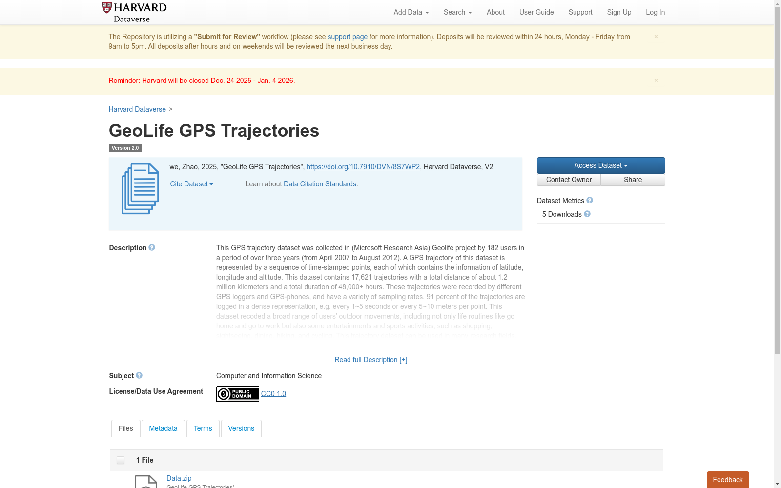
This GPS trajectory dataset was collected in (Microsoft Research Asia) Geolife project by 182 users in a period of over three years (from April 2007 to August 2012). A GPS trajectory of this dataset is represented by a sequence of time-stamped points, each of which contains the information of latitude, longitude and altitude. This dataset contains 17,621 trajectories with a total distance of about 1.2 million kilometers and a total duration of 48,000+ hours. These trajectories were recorded by different GPS loggers and GPS-phones, and have a variety of sampling rates. 91 percent of the trajectories are logged in a dense representation, e.g. every 1~5 seconds or every 5~10 meters per point. This dataset recoded a broad range of users’ outdoor movements, including not only life routines like go home and go to work but also some entertainments and sports activities, such as shopping, sightseeing, dining, hiking, and cycling. This trajectory dataset can be used in many research fields, such as mobility pattern mining, user activity recognition, location-based social networks, location privacy, and location recommendation. Please cite the following papers when using this GPS dataset. [1] Yu Zheng, Lizhu Zhang, Xing Xie, Wei-Ying Ma. Mining interesting locations and travel sequences from GPS trajectories. In Proceedings of International conference on World Wild Web (WWW 2009), Madrid Spain. ACM Press: 791-800. [2] Yu Zheng, Quannan Li, Yukun Chen, Xing Xie, Wei-Ying Ma. Understanding Mobility Based on GPS Data. In Proceedings of ACM conference on Ubiquitous Computing (UbiComp 2008), Seoul, Korea. ACM Press: 312-321. [3] Yu Zheng, Xing Xie, Wei-Ying Ma, GeoLife: A Collaborative Social Networking Service among User, location and trajectory. Invited paper, in IEEE Data Engineering Bulletin. 33, 2, 2010, pp. 32-40.
本GPS轨迹数据集由182名用户在2007年4月至2012年8月的三年多时间内,于微软亚洲研究院(Microsoft Research Asia)GeoLife(Geolife)项目中采集得到。本数据集的每条GPS轨迹均由一系列带时间戳的点位序列构成,每个点位均包含纬度、经度与海拔信息。该数据集共包含17621条轨迹,总行驶里程约120万公里,总时长达48000余小时。这些轨迹由不同的GPS记录仪与GPS手机采集,采样速率各异,其中91%的轨迹采用高密度记录方式,例如每1~5秒记录一个点位,或每5~10米记录一个点位。
本数据集覆盖了不同用户群体的多样户外出行活动,不仅涵盖归家、通勤等日常出行轨迹,还包含购物、观光、就餐、徒步、骑行等娱乐与体育类活动。该轨迹数据集可应用于诸多研究领域,例如出行模式挖掘、用户活动识别、基于位置的社交网络、位置隐私保护以及位置推荐等。
使用该GPS数据集时,请引用以下论文:
[1] 郑宇、张立珠、谢兴、马维英. 从GPS轨迹中挖掘有趣点位与出行序列//万维网国际会议(WWW 2009)论文集,西班牙马德里,ACM出版社:791-800.
[2] 郑宇、李全楠、陈雨坤、谢兴、马维英. 基于GPS数据的出行行为理解//ACM普适计算国际会议(UbiComp 2008)论文集,韩国首尔,ACM出版社:312-321.
[3] 郑宇、谢兴、马维英. GeoLife:用户、位置与轨迹间的协作社交网络服务. 特邀论文,《IEEE数据工程通讯》,33卷第2期,2010年,第32-40页.
提供机构:
Harvard Dataverse
创建时间:
2025-04-14
搜集汇总
数据集介绍
背景与挑战
背景概述
GeoLife GPS Trajectories是一个由微软亚洲研究院GeoLife项目收集的大规模GPS轨迹数据集,涵盖182名用户在2007年至2012年间的户外移动数据,包含超过1.7万条轨迹,总距离约120万公里,具有高采样密度。该数据集记录了包括通勤、购物、骑行等多种活动,适用于移动模式挖掘、位置推荐等研究领域。
以上内容由遇见数据集搜集并总结生成



