
GCI30: Global Cropping Intensity at 30m resolution
收藏DataONE2021-09-15 更新2024-06-08 收录
下载链接:
https://search.dataone.org/view/sha256:41f872a70d36053739bed864b47e7493819e768b0ed553269e393882efe31df0
下载链接
链接失效反馈官方服务:
资源简介:
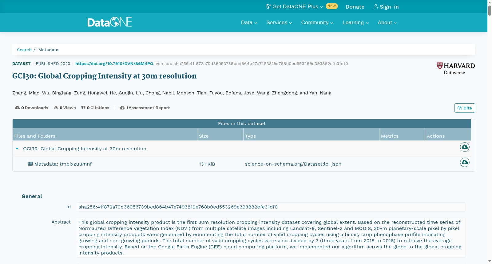
This global cropping intensity product is the first 30m resolution cropping intensity dataset covering global extent. Based on the reconstructed time series of Normalized Difference Vegetation Index (NDVI) from multiple satellite images including Landsat-8, Sentinel-2 and MODIS, 30-m planetary-scale pixel by pixel cropping intensity products were generated by enumerating the total number of valid cropping cycles using a binary crop phenophase profile indicating growing and non-growing periods. The total number of valid cropping cycles were also divided by 3 (three years from 2016 to 2018) to retrieve the average cropping intensity. Based on the Google Earth Engine (GEE) cloud computing platform, we implemented our algorithm across the globe to the global cropping intensity products.
本全球种植强度产品是首款覆盖全球全域的30米分辨率种植强度数据集。本研究基于Landsat-8、Sentinel-2及MODIS等多源卫星影像的归一化差分植被指数(Normalized Difference Vegetation Index,NDVI)重建时序序列,通过构建表征作物生育期与非生育期的二元作物物候剖面,枚举有效种植周期总数,生成了行星尺度逐像素的30米分辨率种植强度产品。将有效种植周期总数除以3(对应2016至2018年三年时长),即可得到平均种植强度。本研究依托谷歌地球引擎(Google Earth Engine,GEE)云计算平台,在全球范围内部署算法,最终生成该全球种植强度产品。
创建时间:
2023-11-23
搜集汇总
数据集介绍
以上内容由遇见数据集搜集并总结生成



