疏勒河流域1:10万沙漠分布数据集(2000)
收藏国家青藏高原科学数据中心2020-09-15 更新2024-04-26 收录
下载链接:
https://data.tpdc.ac.cn/zh-hans/data/fc651350-d71c-4ecd-afde-b25240f6d704
下载链接
链接失效反馈官方服务:
资源简介:
疏勒河流域是河西走廊三大内陆河流域之一,近年来,随着气候的明显变化和人类活动的加剧,疏勒河流域水资源短缺和生态环境问题日益突出。研究疏勒河流域在未来气候情境下径流变化,对于制定合理的水资源规划以及展开生态环境保护具有重要意义。
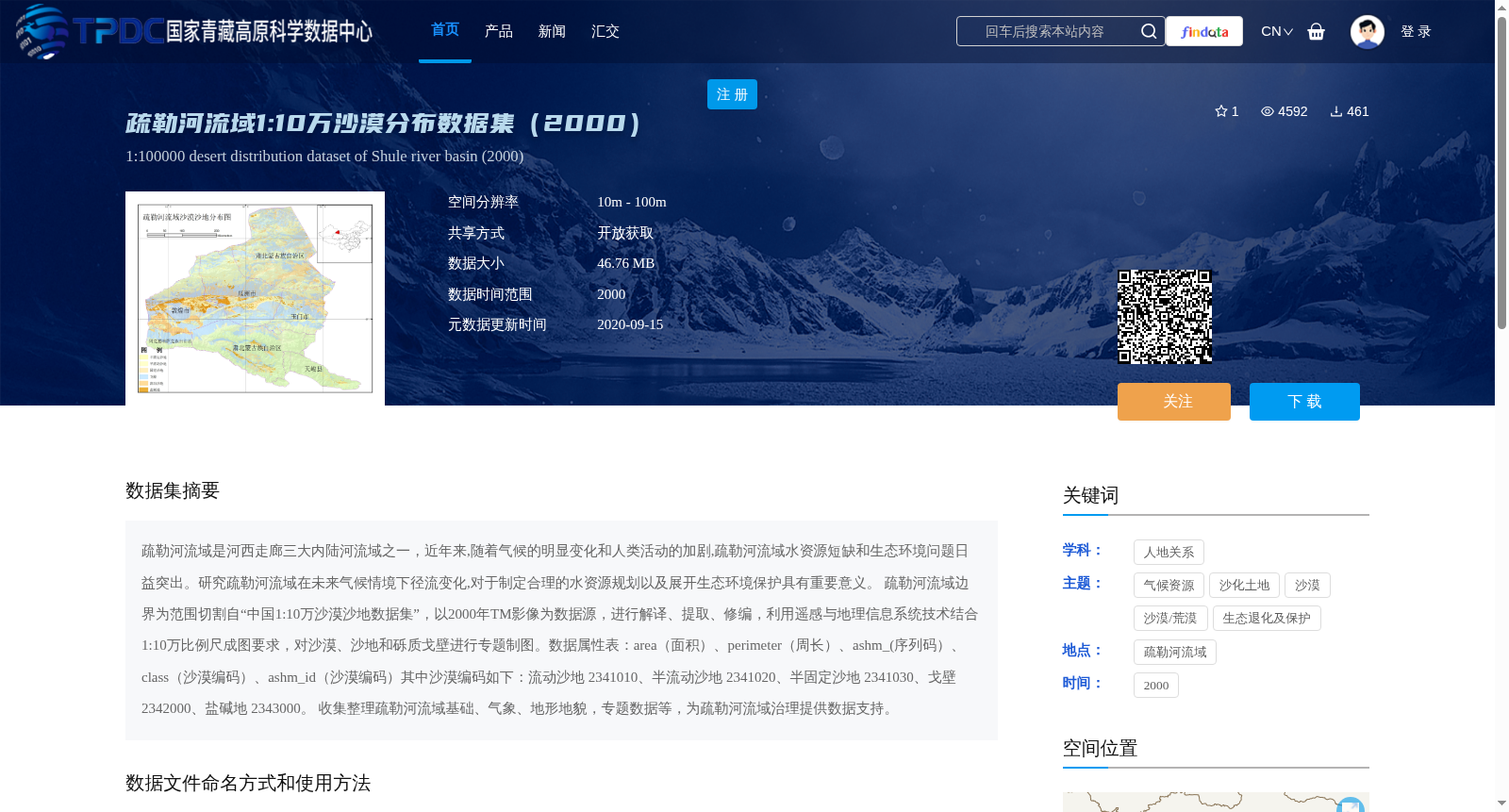
疏勒河流域边界为范围切割自“中国1:10万沙漠沙地数据集”,以2000年TM影像为数据源,进行解译、提取、修编,利用遥感与地理信息系统技术结合1:10万比例尺成图要求,对沙漠、沙地和砾质戈壁进行专题制图。数据属性表:area(面积)、perimeter(周长)、ashm_(序列码)、class(沙漠编码)、ashm_id(沙漠编码)其中沙漠编码如下:流动沙地 2341010、半流动沙地 2341020、半固定沙地 2341030、戈壁 2342000、盐碱地 2343000。
收集整理疏勒河流域基础、气象、地形地貌,专题数据等,为疏勒河流域治理提供数据支持。
The Shule River Basin is one of the three inland river basins in the Hexi Corridor. In recent years, with the significant changes in climate and intensification of human activities, water resource shortages and ecological environmental issues in the Shule River Basin have become increasingly prominent. Studying the runoff changes of the Shule River Basin under future climate scenarios is of great significance for developing rational water resource planning and implementing ecological environmental protection measures.
The boundary of the Shule River Basin was delineated from the "China 1:100,000 Scale Desert and Sandy Land Dataset". Using 2000 TM imagery as the data source, interpretation, extraction and revision were conducted. Combined with the 1:100,000 scale mapping specifications, remote sensing (RS) and geographic information system (GIS) technologies were applied to carry out thematic mapping of deserts, sandy lands and gravel-covered Gobi.
Data attribute table: area, perimeter, ashm_ (sequence code), class (desert code), ashm_id (desert code). The desert codes are as follows: shifting sandy land 2341010, semi-shifting sandy land 2341020, semi-fixed sandy land 2341030, Gobi 2342000, saline-alkali land 2343000.
Basic, meteorological, topographic, geomorphic and thematic data of the Shule River Basin were collected and organized to provide data support for the management of the Shule River Basin.
提供机构:
王建华
创建时间:
2015-01-29
搜集汇总
数据集介绍
背景与挑战
背景概述
该数据集是疏勒河流域2000年的沙漠分布数据,包含流动沙地、半流动沙地等多种沙漠类型,以矢量shp格式提供,适用于遥感分析。数据旨在为疏勒河流域的治理和生态环境保护提供支持。
以上内容由遇见数据集搜集并总结生成


