中国东部及长江中下游地区洪灾记录数据(19世纪以来)
收藏国家地球系统科学数据中心2018-06-22 更新2024-03-04 收录
下载链接:
https://www.geodata.cn/data/datadetails.html?dataguid=21284298705422&docId=20288
下载链接
链接失效反馈官方服务:
资源简介:
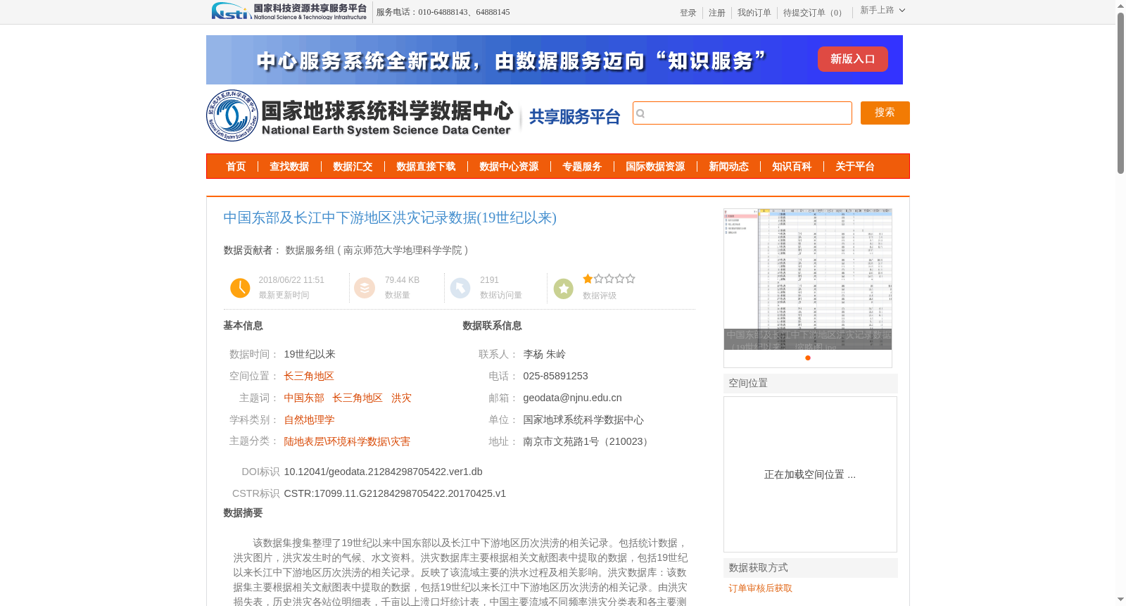
该数据集搜集整理了19世纪以来中国东部以及长江中下游地区历次洪涝的相关记录。包括统计数据,洪灾图片,洪灾发生时的气候、水文资料。洪灾数据库主要根据相关文献图表中提取的数据,包括19世纪以来长江中下游地区历次洪涝的相关记录。反映了该流域主要的洪水过程及相关影响。洪灾数据库:该数据集主要根据相关文献图表中提取的数据,包括19世纪以来长江中下游地区历次洪涝的相关记录。由洪灾损失表,历史洪灾各站位明细表,千亩以上溃口圩统计表,中国主要流域不同频率洪灾分类表和各主要测站观测水位表构成,反映了该流域主要的洪水过程及相关影响。主要面向洪灾预报、检控和应急管理等方面的研究。总共包含2772条记录。数据类型以数据形式为主。
This dataset collects and organizes relevant records of successive floods in eastern China and the middle-lower Yangtze River region since the 19th century, encompassing statistical data, flood images, and climate and hydrological data collected during flood disasters.
The flood disaster database, primarily constructed using data extracted from relevant literature and charts, includes records of successive floods in the middle-lower Yangtze River region since the 19th century, and reflects the main flood processes and related impacts of this basin. The database comprises flood disaster loss tables, detailed station records of historical flood disasters, statistics tables of breached polders with an area of over 1000 mu, flood disaster classification tables of different frequencies for major Chinese river basins, and observed water level tables of key monitoring stations.
This dataset is mainly targeted at research related to flood forecasting, monitoring and emergency management. It contains a total of 2772 records, and the majority of the data is in structured form.
提供机构:
南京师范大学地理科学学院
创建时间:
2017-04-25
搜集汇总
数据集介绍
背景与挑战
背景概述
该数据集是一个历史洪灾记录集合,搜集整理了19世纪以来中国东部及长江中下游地区(特别是长三角地区)的历次洪涝事件,包括统计数据、图片、气候和水文资料,共2772条记录。数据集以表格形式组织,如洪灾损失表和观测水位表,旨在支持洪灾预报、检控和应急管理研究,数据来源于公开文献和图表,质量可靠。
以上内容由遇见数据集搜集并总结生成


