中国北方1:10万沙漠化土地分布数据集(2015年)
收藏国家地球系统科学数据中心2021-10-27 更新2024-03-04 收录
下载链接:
https://www.geodata.cn/data/datadetails.html?dataguid=8500470&docId=10613
下载链接
链接失效反馈官方服务:
资源简介:
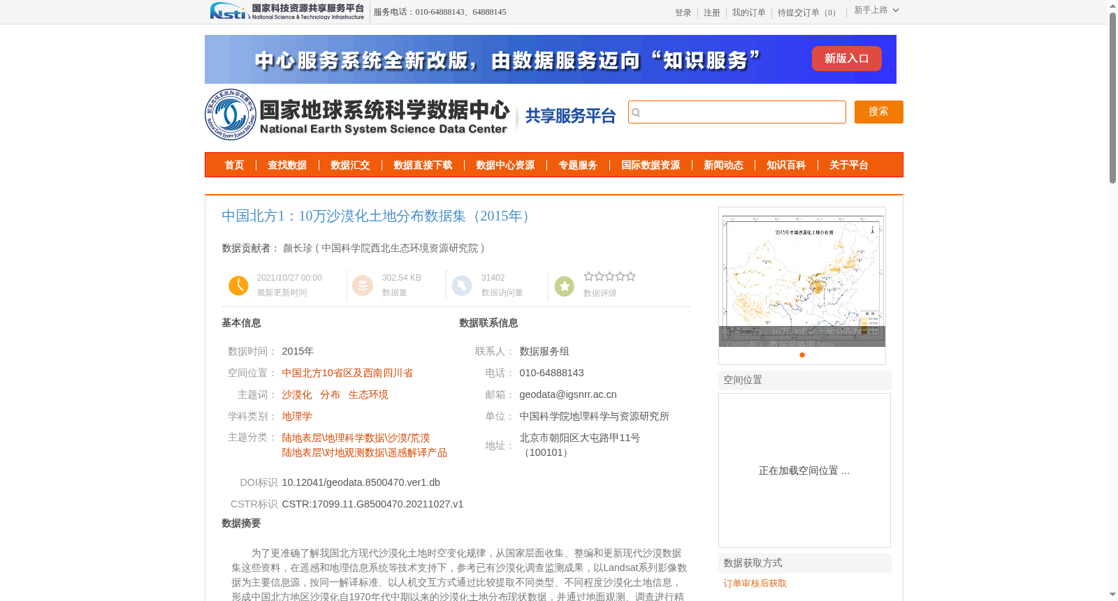
为了更准确了解我国北方现代沙漠化土地时空变化规律,从国家层面收集、整编和更新现代沙漠数据集这些资料,在遥感和地理信息系统等技术支持下,参考已有沙漠化调查监测成果,以Landsat系列影像数据为主要信息源,按同一解译标准、以人机交互方式通过比较提取不同类型、不同程度沙漠化土地信息,形成中国北方地区沙漠化自1970年代中期以来的沙漠化土地分布现状数据,并通过地面观测、调查进行精度验证和评价后建立数据库。
To accurately grasp the spatio-temporal variation patterns of modern desertified lands in northern China, we collected, compiled, and updated relevant materials of modern desert datasets at the national level. Supported by remote sensing, geographic information systems (GIS) and other technologies, and referencing existing achievements in desertification surveys and monitoring, we took Landsat series imagery as the primary information source, adopted unified interpretation criteria, and extracted information on desertified lands of various types and degrees through human-computer interactive comparison. We thus generated the current distribution dataset of desertified lands in northern China since the mid-1970s. After conducting accuracy validation and evaluation via field observations and surveys, we finally established the dedicated database.
提供机构:
中国科学院西北生态环境资源研究院
创建时间:
2021-10-27
搜集汇总
数据集介绍
背景与挑战
背景概述
该数据集是中国北方2015年沙漠化土地分布数据,覆盖10省区及四川,基于Landsat影像解译并经过地面验证,准确率超过90%,适用于地理和生态环境研究。
以上内容由遇见数据集搜集并总结生成


