
Official USA Cities Simplified Roads Network
收藏DataONE2017-04-06 更新2024-06-26 收录
下载链接:
https://search.dataone.org/view/sha256:d4e4f38d0282cc1264ae610505c2d9915186cc939e531f30c267019509546fee
下载链接
链接失效反馈官方服务:
资源简介:
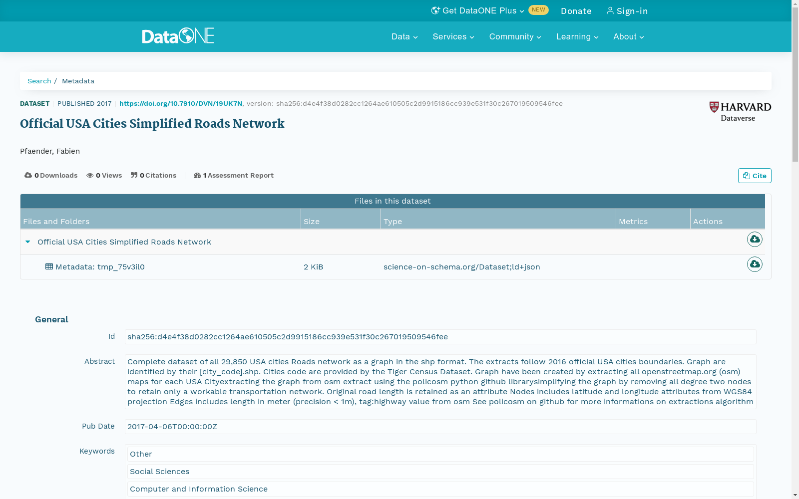
Complete dataset of all 29,850 USA cities Roads network as a graph in the shp format. The extracts follow 2016 official USA cities boundaries. Graph are identified by their [city_code].shp. Cities code are provided by the Tiger Census Dataset. Graph have been created by extracting all openstreetmap.org (osm) maps for each USA Cityextracting the graph from osm extract using the policosm python github librarysimplifying the graph by removing all degree two nodes to retain only a workable transportation network. Original road length is retained as an attribute Nodes includes latitude and longitude attributes from WGS84 projection Edges includes length in meter (precision < 1m), tag:highway value from osm See policosm on github for more informations on extractions algorithm
本数据集涵盖全美29850个城市的道路网络图数据,格式为shp(Shapefile)。所有提取结果均遵循2016年美国官方城市边界范围。各城市的路网图以[city_code].shp命名,其中城市代码源自Tiger人口普查数据集 (Tiger Census Dataset)。
路网图的构建流程为:首先为每个美国城市提取OpenStreetMap(OSM)地图数据,随后通过GitHub上的policosm Python库从OSM提取结果中生成路网图;接着移除所有度数为2的节点以简化图结构,仅保留可实用的交通网络,并将原始道路长度作为属性保留。
节点包含WGS84投影下的纬度与经度属性;边属性包含以米为单位的道路长度(精度优于1米),以及源自OSM的highway标签值。
有关提取算法的更多细节,请参阅GitHub上的policosm项目。
创建时间:
2023-11-21
搜集汇总
数据集介绍
以上内容由遇见数据集搜集并总结生成



