祁连山冰川编目数据(2018/2019)
收藏国家青藏高原科学数据中心2025-05-15 更新2025-05-17 收录
下载链接:
https://data.tpdc.ac.cn/zh-hans/data/34b2d0bd-fa85-4d7f-b9a9-5b4d972134c1
下载链接
链接失效反馈官方服务:
资源简介:
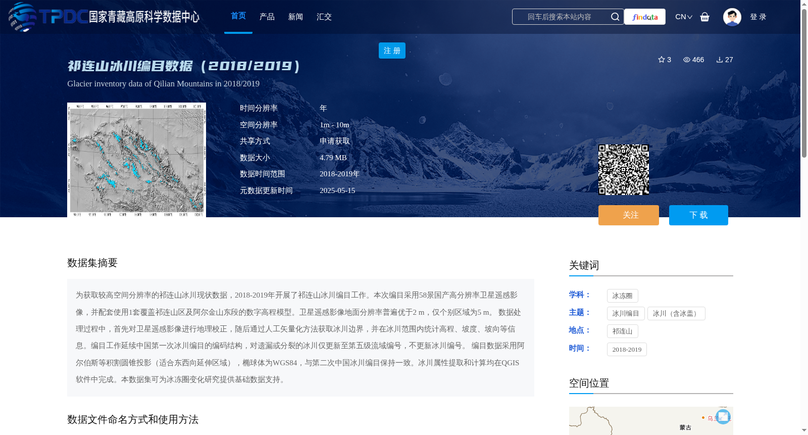
为获取较高空间分辨率的祁连山冰川现状数据,2018-2019年开展了祁连山冰川编目工作。本次编目采用58景国产高分辨率卫星遥感影像,并配套使用1套覆盖祁连山区及阿尔金山东段的数字高程模型。卫星遥感影像地面分辨率普遍优于2 m,仅个别区域为5 m。
数据处理过程中,首先对卫星遥感影像进行地理校正,随后通过人工矢量化方法获取冰川边界,并在冰川范围内统计高程、坡度、坡向等信息。编目工作延续中国第一次冰川编目的编码结构,对遗漏或分裂的冰川仅更新至第五级流域编号,不更新冰川编号。
编目数据采用阿尔伯斯等积割圆锥投影(适合东西向延伸区域),椭球体为WGS84,与第二次中国冰川编目保持一致。冰川属性提取和计算均在QGIS软件中完成。本数据集可为冰冻圈变化研究提供基础数据支持。
To obtain current glacier status data of the Qilian Mountains with high spatial resolution, a glacier inventory of the Qilian Mountains was carried out during 2018–2019. This inventory adopted 58 scenes of domestically produced high-resolution satellite remote sensing images, and was paired with a set of digital elevation models (DEMs) covering the Qilian Mountains and the eastern section of the Altun Mountains. The ground spatial resolution of these satellite remote sensing images is generally better than 2 m, with only individual regions reaching 5 m.
During the data processing workflow, geometric correction was first conducted on the satellite remote sensing images. Subsequently, glacier boundaries were extracted via manual vectorization, and statistics including elevation, slope, and aspect were calculated within the glacier outlines. This inventory followed the coding structure of the First Chinese Glacier Inventory: for glaciers that were missed or split, only the fifth-order basin code was updated, while the glacier identification number remained unchanged.
The inventory data uses the Albers Equal-Area Conic Projection (suitable for east-west trending regions) with the WGS84 ellipsoid, which is consistent with the Second Chinese Glacier Inventory. The extraction and calculation of all glacier attributes were completed in QGIS software. This dataset can provide fundamental data support for research on cryospheric changes.
提供机构:
刘宇硕
创建时间:
2025-04-21
搜集汇总
数据集介绍
背景与挑战
背景概述
该数据集是2018-2019年祁连山冰川编目数据,采用高分辨率卫星影像(普遍优于2m)和数字高程模型,通过人工矢量化方法获取冰川边界及相关属性信息,为冰冻圈变化研究提供基础数据支持。数据以SHP格式存储,延续了中国第一次冰川编目的编码结构。
以上内容由遇见数据集搜集并总结生成


