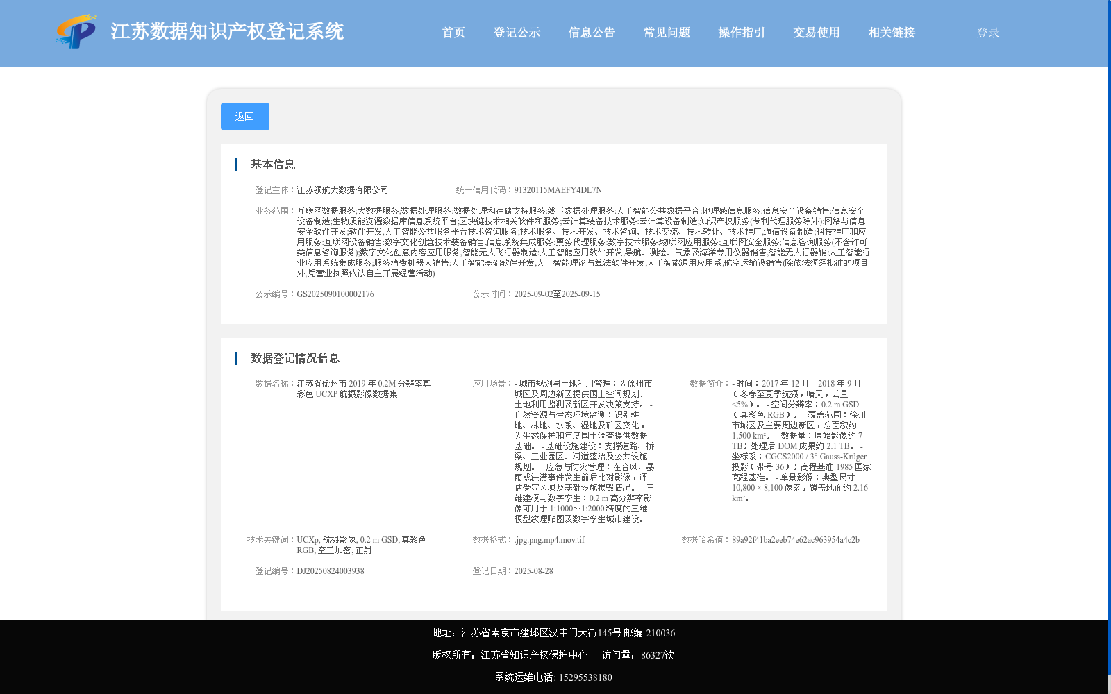
江苏省徐州市 2019 年 0.2M 分辨率真彩色 UCXP 航摄影像数据集
收藏资源简介:
- 时间:2017 年 12 月—2018 年 9 月(冬春至夏季航摄,晴天,云量 <5%)。 - 空间分辨率:0.2 m GSD(真彩色 RGB)。 - 覆盖范围:徐州市城区及主要周边新区,总面积约 1,500 km²。 - 数据量:原始影像约 7 TB;处理后 DOM 成果约 2.1 TB。 - 坐标系:CGCS2000 / 3° Gauss-Krüger 投影(带号 36);高程基准 1985 国家高程基准。 - 单景影像:典型尺寸 10,800 × 8,100 像素,覆盖地面约 2.16 km²。
- Time: December 2017 – September 2018 (aerial photography conducted from winter-spring to summer, under clear skies with cloud cover <5%). - Spatial resolution: 0.2 m GSD (true-color RGB). - Coverage: Urban area of Xuzhou City and its main surrounding new districts, with a total area of approximately 1,500 km². - Data volume: Approximately 7 TB of raw imagery; approximately 2.1 TB of processed DOM products. - Coordinate system: CGCS2000 / 3° Gauss-Krüger Projection (zone number 36); elevation datum: 1985 National Height Datum. - Single-scene imagery: Typical dimensions of 10,800 × 8,100 pixels, covering approximately 2.16 km² of ground area.