Million Song Dataset|音乐数据分析数据集|音乐推荐系统数据集
收藏github2018-01-20 更新2024-05-31 收录
下载链接:
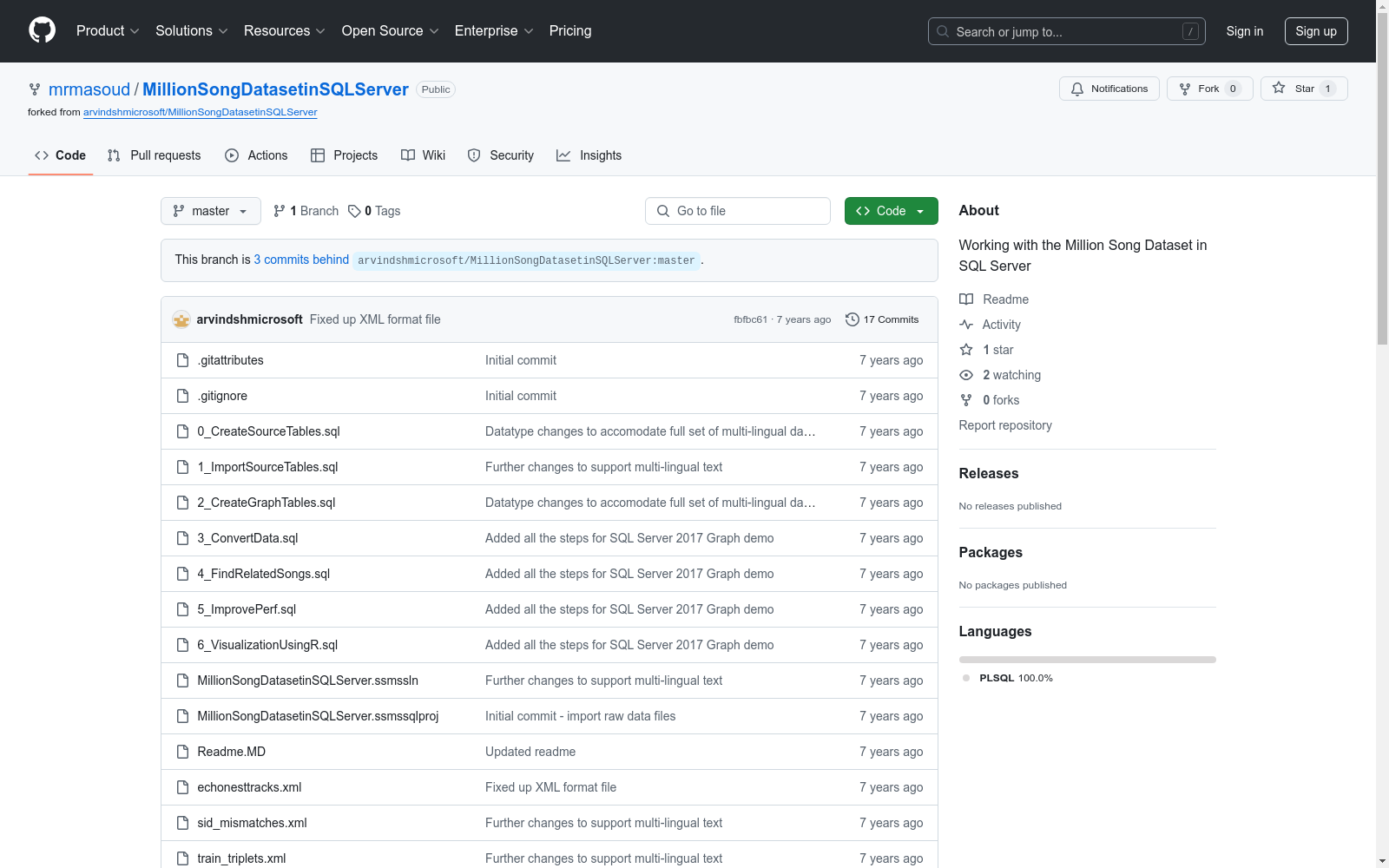
https://github.com/mrmasoud/MillionSongDatasetinSQLServer
下载链接
链接失效反馈资源简介:
Million Song Dataset是一个包含一百万首当代流行音乐的免费数据集,用于音乐信息检索和相关研究。该数据集包含了音频特征和元数据,以及用户口味配置文件,用于构建音乐推荐服务。
The Million Song Dataset is a freely available collection comprising one million contemporary popular music tracks, designed for music information retrieval and related research. This dataset includes audio features and metadata, along with user taste profiles, which are instrumental in constructing music recommendation services.
创建时间:
2018-01-20
原始信息汇总
数据集概述
数据集名称
Million Song Dataset in SQL Server 2017
数据集用途
用于在SQL Server 2017中构建歌曲推荐服务。
数据集组成部分
-
Unique songs - 包含唯一歌曲信息的数据文件。
- 下载链接:Unique songs
-
User taste profiles - 用户口味配置文件,包含用户对歌曲的评分数据。
- 下载链接:User taste profiles
- 需手动解压缩到同一文件夹。
-
Known mismatches of song IDs - 用于纠正已知数据质量问题的歌曲ID不匹配数据。
数据集引用
- 作者:Thierry Bertin-Mahieux, Daniel P.W. Ellis, Brian Whitman, and Paul Lamere
- 出版物:Proceedings of the 12th International Society for Music Information Retrieval Conference (ISMIR 2011)
- 年份:2011
数据集详细信息
- 获取数据集:Getting the Million Song dataset
- 口味配置文件数据子集:The Taste Profile data subset
- 已知错误及修复:Known errors in the Taste Profile dataset 和 Fixing these known errors in the Taste Profile dataset
- 数据集GitHub页面:GitHub page for the MSD
- 数据集挑战论文:MSD Challenge paper
AI搜集汇总
数据集介绍

构建方式
Million Song Dataset(百万歌曲数据集)的构建基于广泛的音乐信息和用户口味数据,旨在为音乐推荐服务提供支持。数据集包括独特的歌曲信息、用户口味档案以及已知的歌曲ID匹配错误数据。这些数据通过SQL Server 2017进行导入和管理,确保数据的高效存储和查询。数据集的构建过程涉及下载相关文件,如unique_tracks.txt、train_triplets.txt.zip和sid_mismatches.txt,并按照预设的SQL脚本顺序执行,以完成数据的导入和校正。
使用方法
使用Million Song Dataset时,首先需安装SQL Server 2017,并下载数据集的相关文件。随后,按照提供的SQL脚本顺序执行,完成数据的导入和校正。数据集的导入过程可能需要根据计算机的性能调整时间。导入完成后,用户可以利用SQL Server 2017的图形数据功能,进行深入的数据分析和推荐服务构建。此外,数据集的官方文档提供了详细的指导和示例,帮助用户更好地理解和应用数据集。
背景与挑战
背景概述
Million Song Dataset(MSD)是由Thierry Bertin-Mahieux、Daniel P.W. Ellis、Brian Whitman和Paul Lamere于2011年创建的,旨在推动音乐信息检索(MIR)领域的研究。该数据集包含了超过一百万首歌曲的元数据和音频特征,为研究人员提供了一个丰富的资源库,以探索和开发新的音乐推荐系统和分析工具。MSD的创建不仅促进了音乐信息检索技术的发展,还为音乐推荐服务提供了坚实的基础,极大地推动了相关领域的研究进展。
当前挑战
尽管Million Song Dataset在音乐信息检索领域具有重要意义,但其构建和使用过程中仍面临诸多挑战。首先,数据集的规模庞大,导致数据导入和处理的时间成本较高,尤其是在性能有限的计算环境中。其次,数据集中存在已知的匹配错误和数据质量问题,需要研究人员进行额外的数据清洗和校正工作。此外,将该数据集与SQL Server 2017结合使用时,跨平台路径调整和脚本适应性问题也增加了实施的复杂性。这些挑战不仅影响了数据集的可用性,也对研究结果的准确性和可靠性提出了更高的要求。
常用场景
经典使用场景
在音乐信息检索领域,Million Song Dataset(百万歌曲数据集)的经典使用场景主要集中在构建和优化音乐推荐系统。通过分析数据集中包含的歌曲元数据、用户听歌历史以及用户口味偏好,研究者和开发者能够设计出更为精准的推荐算法,从而提升用户体验。此外,该数据集还广泛应用于音乐特征提取和音乐风格分类的研究,为音乐信息学的发展提供了坚实的基础。
解决学术问题
Million Song Dataset在学术研究中解决了多个关键问题,特别是在音乐信息检索和推荐系统领域。首先,它为研究人员提供了大规模的、结构化的音乐数据,使得复杂的音乐特征分析和用户行为建模成为可能。其次,通过该数据集,学者们能够验证和优化各种推荐算法,从而推动了个性化推荐技术的发展。此外,数据集中的用户口味数据也为研究用户偏好和行为模式提供了宝贵的资源。
实际应用
在实际应用中,Million Song Dataset被广泛用于音乐流媒体服务、在线音乐商店以及智能音箱等产品中。通过利用数据集中的用户听歌历史和口味偏好,这些平台能够为用户提供个性化的音乐推荐,从而提高用户满意度和平台粘性。此外,数据集中的音乐特征数据也被用于音乐版权管理、音乐创作辅助工具以及音乐教育软件中,极大地丰富了音乐相关应用的功能和效果。
数据集最近研究
最新研究方向
在音乐信息检索领域,Million Song Dataset(百万歌曲数据集)的最新研究方向主要集中在利用SQL Server 2017的图形数据库功能进行歌曲推荐系统的构建。通过整合用户口味数据和歌曲特征,研究者们致力于提升推荐算法的准确性和个性化程度。此外,数据集中的已知错误和匹配问题也成为了研究焦点,旨在通过数据清洗和校正技术提高数据质量,从而增强推荐系统的可靠性。这些研究不仅推动了音乐推荐技术的发展,也为其他领域的数据处理和分析提供了宝贵的经验。
以上内容由AI搜集并总结生成


