
GSWF: Global Surface Water gap-Filled dataset
收藏DataCite Commons2025-04-27 更新2025-05-18 收录
下载链接:
https://www.scidb.cn/detail?dataSetId=69d1975787614459b46f777cc72c8f1f
下载链接
链接失效反馈官方服务:
资源简介:
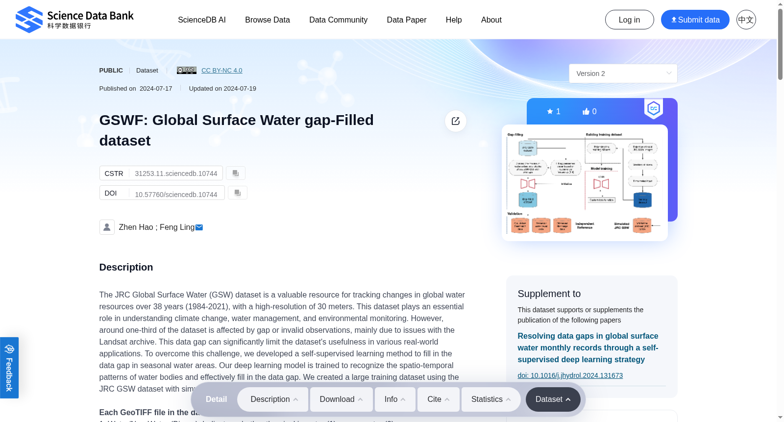
The JRC Global Surface Water (GSW) dataset is a valuable resource for tracking changes in global water resources over 38 years (1984-2021), with a high-resolution of 30 meters. This dataset plays an essential role in understanding climate change, water management, and environmental monitoring. However, around one-third of the dataset is affected by gap or invalid observations, mainly due to issues with the Landsat archive. This data gap can significantly limit the dataset's usefulness in various real-world applications. To overcome this challenge, we developed a self-supervised learning method to fill in the data gap in seasonal water areas. Our deep learning model is trained to recognize the spatio-temporal patterns of water bodies and effectively fill in the data gap. We created a large training dataset using the JRC GSW dataset with simulated gap areas to teach the model how to fill in the gaps.Each GeoTIFF file in the dataset has two bands:1. Water/Non-Water (Binary): Indicates whether the pixel is water (1) or non-water (0).2. Good Quality/Bad Quality (Binary): Indicates whether the pixel is of good quality (1) or bad quality (0).The dataset uses a single-bit storage format to save memory.Quality Score CalculationThe quality score in our dataset is a binary score assigned to each 256x256 gap-filled block. It is calculated based on the proportion of valid observations within the block. A quality score of 1 indicates a high-quality block, while a score of 0 represents a low-quality block. The quality score calculation process is as follows:1. For each 256x256 block, count the number of valid observations (pixels with a "good quality" value of 1 in the Good Quality/Bad Quality band). Calculate the percentage of valid observations in the block by dividing the number of valid observations by the total number of pixels in the block (256x256 = 65,536).2. Assign a binary quality score to the block:If the percentage of valid observations is equal to or greater than 2%, assign a quality score of 1 (high quality).If the percentage of valid observations is less than 2%, assign a quality score of 0 (low quality).V2: Some data descriptions have been improved.
JRC全球地表水(JRC Global Surface Water, GSW)数据集是一项极具科研与应用价值的资源,可用于追踪1984年至2021年这38年间全球水资源的动态变化,空间分辨率高达30米。该数据集在气候变化研究、水资源管理与环境监测等领域发挥着核心支撑作用。然而,该数据集约有三分之一的内容存在数据缺口或无效观测问题,这主要源于Landsat档案库的相关缺陷。这种数据缺口会显著制约该数据集在各类实际应用场景中的应用效能。为破解这一难题,我们研发了一种自监督学习(self-supervised learning)方法,用于填补季节性水域区域的数据缺口。我们的深度学习模型经训练后可识别水体的时空分布模式,从而实现数据缺口的有效填补。我们依托JRC GSW数据集构建了大型训练数据集,并通过模拟数据缺口区域,使模型掌握数据填补的方法。本数据集中的每个GeoTIFF文件均包含两个波段:1. 水体/非水体(二值波段):用于标识像素是否为水体,其中1代表水体,0代表非水体。2. 质量优劣(二值波段):用于标识像素的质量等级,其中1代表优质像素,0代表劣质像素。该数据集采用单比特存储格式以降低内存占用。质量评分计算方法:本数据集的质量评分为二值评分,针对每个256×256的填补后数据块进行赋值。其计算依据为数据块内有效观测值的占比:质量评分为1代表该数据块为高质量区块,评分为0则代表低质量区块。质量评分的计算流程如下:1. 针对每个256×256的数据块,统计有效观测值的数量(即“质量优劣”波段中数值为1的优质像素数量)。通过将有效观测值数量除以数据块总像素数(256×256=65536),计算得到有效观测值占比。2. 为该数据块分配二值质量评分:若有效观测值占比大于或等于2%,则质量评分为1(高质量);若有效观测值占比小于2%,则质量评分为0(低质量)。V2:优化了部分数据描述内容。
提供机构:
Science Data Bank
创建时间:
2024-07-17
搜集汇总
数据集介绍
背景与挑战
背景概述
GSWF数据集是一个通过自监督深度学习填补JRC全球地表水数据集观测空白的资源,覆盖1984-2021年,分辨率达30米。数据集包含水/非水二元信息和质量评分,适用于气候变化、水资源管理和环境监测研究。
以上内容由遇见数据集搜集并总结生成



