大兴安岭林区航片数据
收藏国家林业和草原科学数据中心2022-09-07 更新2024-03-06 收录
下载链接:
https://www.forestdata.cn/dataDetail.html?id=CSTR:17575.11.0120220907302.020001.V1
下载链接
链接失效反馈官方服务:
资源简介:
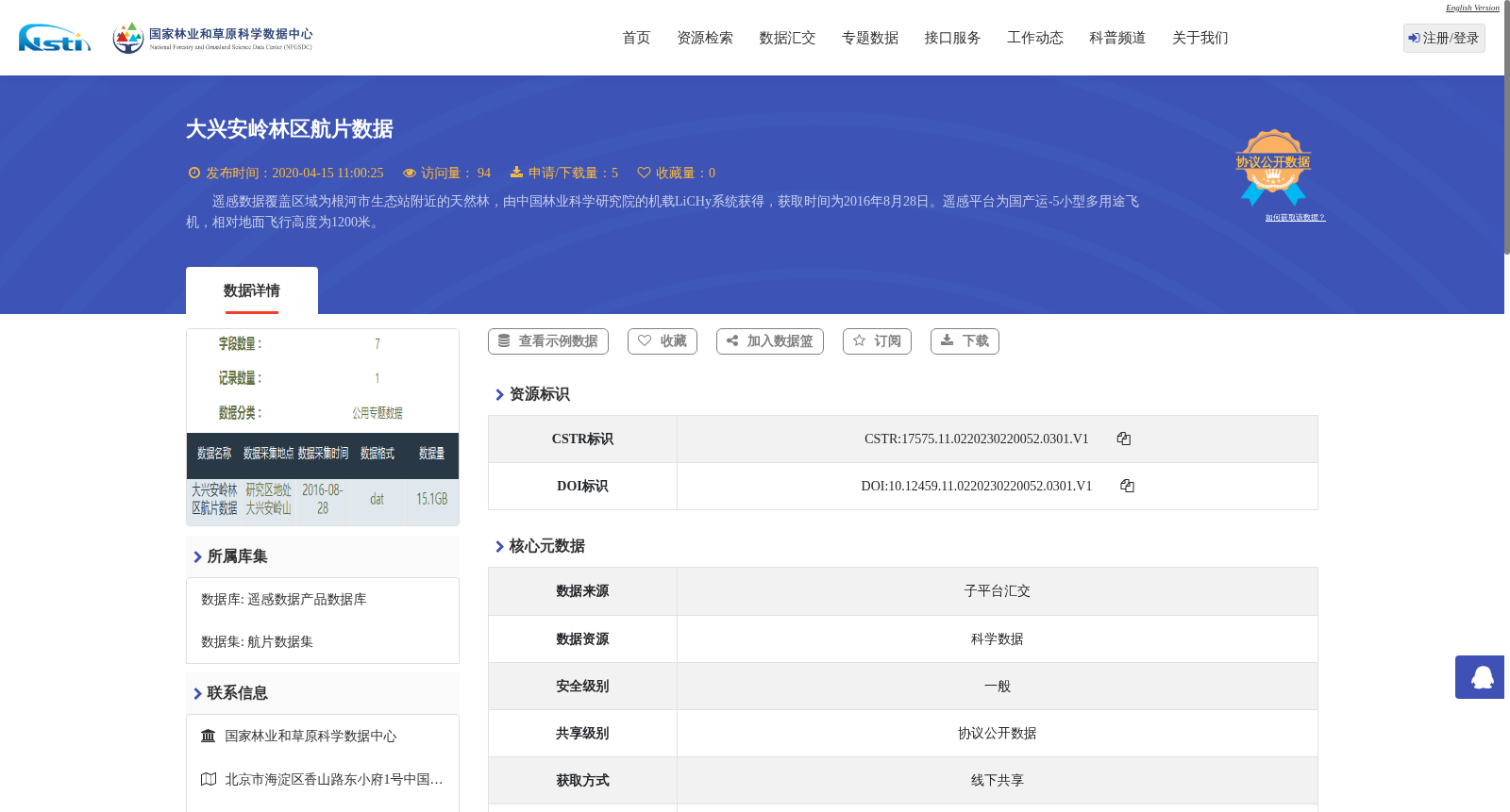
遥感数据覆盖区域为根河市生态站附近的天然林,由中国林业科学研究院的机载LiCHy系统获得,获取时间为2016年8月28日。遥感平台为国产运-5小型多用途飞机,相对地面飞行高度为1200米。
The remote sensing dataset covers a natural forest area near the Genhe Ecological Station. It was acquired by the airborne LiCHy system of the Chinese Academy of Forestry (CAF) on August 28, 2016. The remote sensing platform was the domestically produced Yun-5 small multi-purpose utility aircraft, flying at a relative altitude of 1200 meters above the ground.
提供机构:
国家林业和草原科学数据中心
创建时间:
2022-09-07
搜集汇总
数据集介绍
背景与挑战
背景概述
该数据集包含2016年8月28日由中国林业科学研究院机载LiCHy系统获取的大兴安岭林区航片数据,覆盖根河市生态站附近的天然林,数据格式为表格,质量可靠,错误率低。
以上内容由遇见数据集搜集并总结生成


