湖北省1∶20万区域地球化学工作程度图
收藏资源简介:
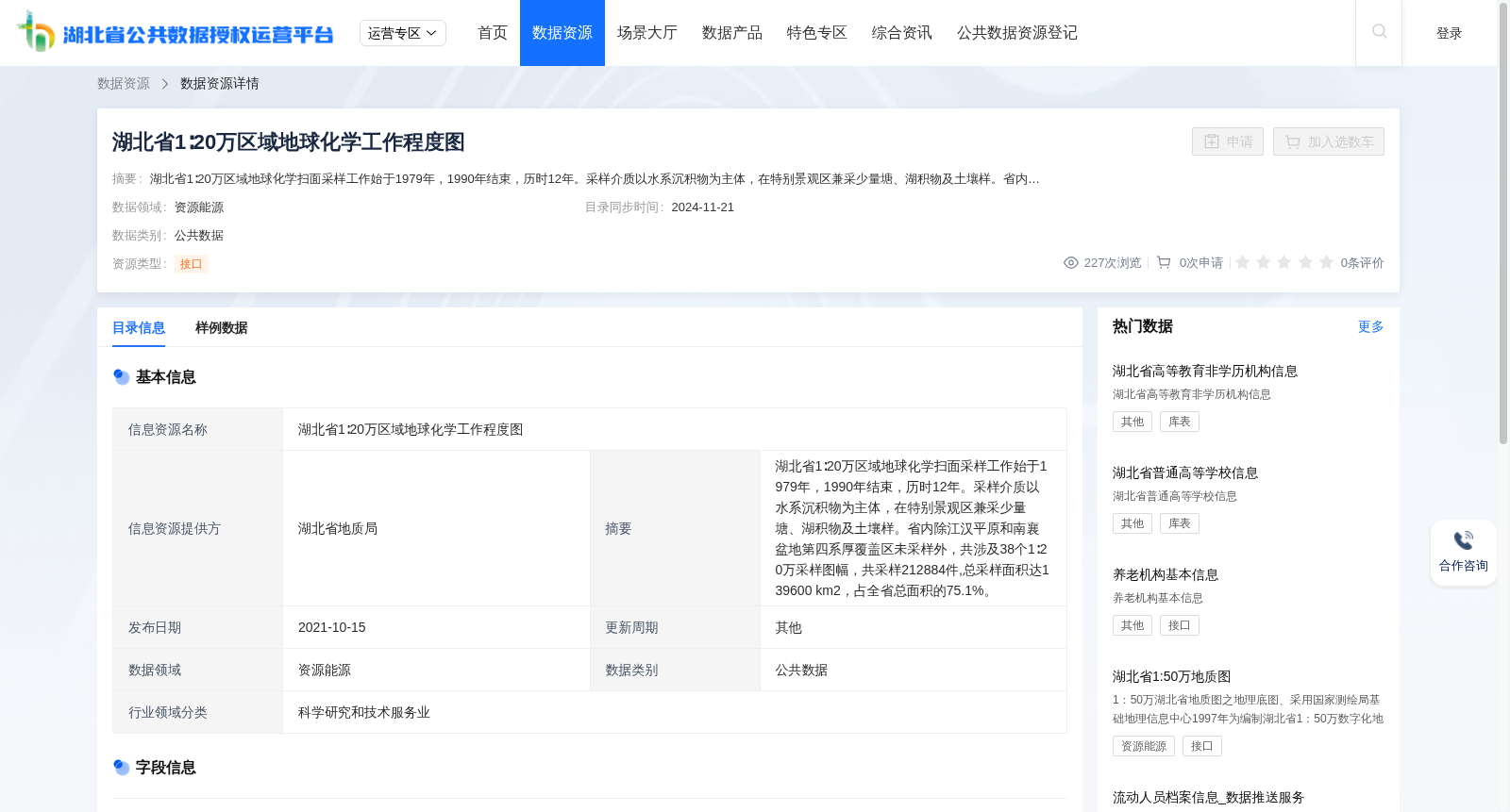
湖北省1∶20万区域地球化学扫面采样工作始于1979年,1990年结束,历时12年。采样介质以水系沉积物为主体,在特别景观区兼采少量塘、湖积物及土壤样。省内除江汉平原和南襄盆地第四系厚覆盖区未采样外,共涉及38个1∶20万采样图幅,共采样212884件,总采样面积达139600 km2,占全省总面积的75.1%。
The 1:200000 regional geochemical reconnaissance survey sampling work in Hubei Province started in 1979 and concluded in 1990, spanning 12 years. Stream sediments were the main sampling media, and a small amount of pond, lacustrine sediments and soil samples were also collected in special landscape areas. Except for the thick Quaternary overburden areas of the Jianghan Plain and the Nanxiang Basin where no sampling was carried out, the survey covered a total of 38 1:200000 sampling map sheets, with a total of 212,884 samples collected and a total sampling area of 139,600 km², accounting for 75.1% of the total area of the province.