小柳巷站设计洪水过程线(2018年)
收藏国家地球系统科学数据中心2022-06-10 更新2024-03-04 收录
下载链接:
https://www.geodata.cn/data/datadetails.html?dataguid=82045318002420&docId=8037
下载链接
链接失效反馈官方服务:
资源简介:
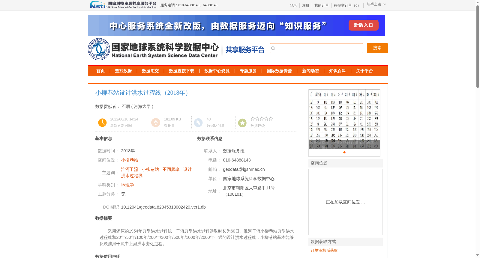
采用还原的1954年典型洪水过程线,干流典型洪水过程选取时长为60日。淮河干流小柳巷站典型洪水过程线和20年/50年/100年/200年/300年/500年/1000年/2000年一遇的设计洪水过程线,小柳巷站基本能够反映淮河干流中上游洪水变化过程。
The restored 1954 typical flood hydrograph was adopted, with the typical flood process of the main stream selected for a duration of 60 days. The dataset includes the typical flood hydrograph at Xiaoliuxiang Station on the main stream of the Huai River, as well as the design flood hydrographs with return periods of 20-year, 50-year, 100-year, 200-year, 300-year, 500-year, 1000-year, and 2000-year. Xiaoliuxiang Station can basically reflect the flood variation process in the middle and upper reaches of the main stream of the Huai River.
提供机构:
河海大学
创建时间:
2022-06-10
搜集汇总
数据集介绍
背景与挑战
背景概述
该数据集提供了淮河干流小柳巷站2018年的设计洪水过程线数据,基于还原的1954年典型洪水过程线,涵盖20年至2000年一遇的多种频率设计洪水。数据集内容反映了淮河干流中上游的洪水变化过程,并采用专业的水文方法(如年最大值法选样和三性审查)确保数据质量,适用于地理学和水文研究领域。
以上内容由遇见数据集搜集并总结生成


